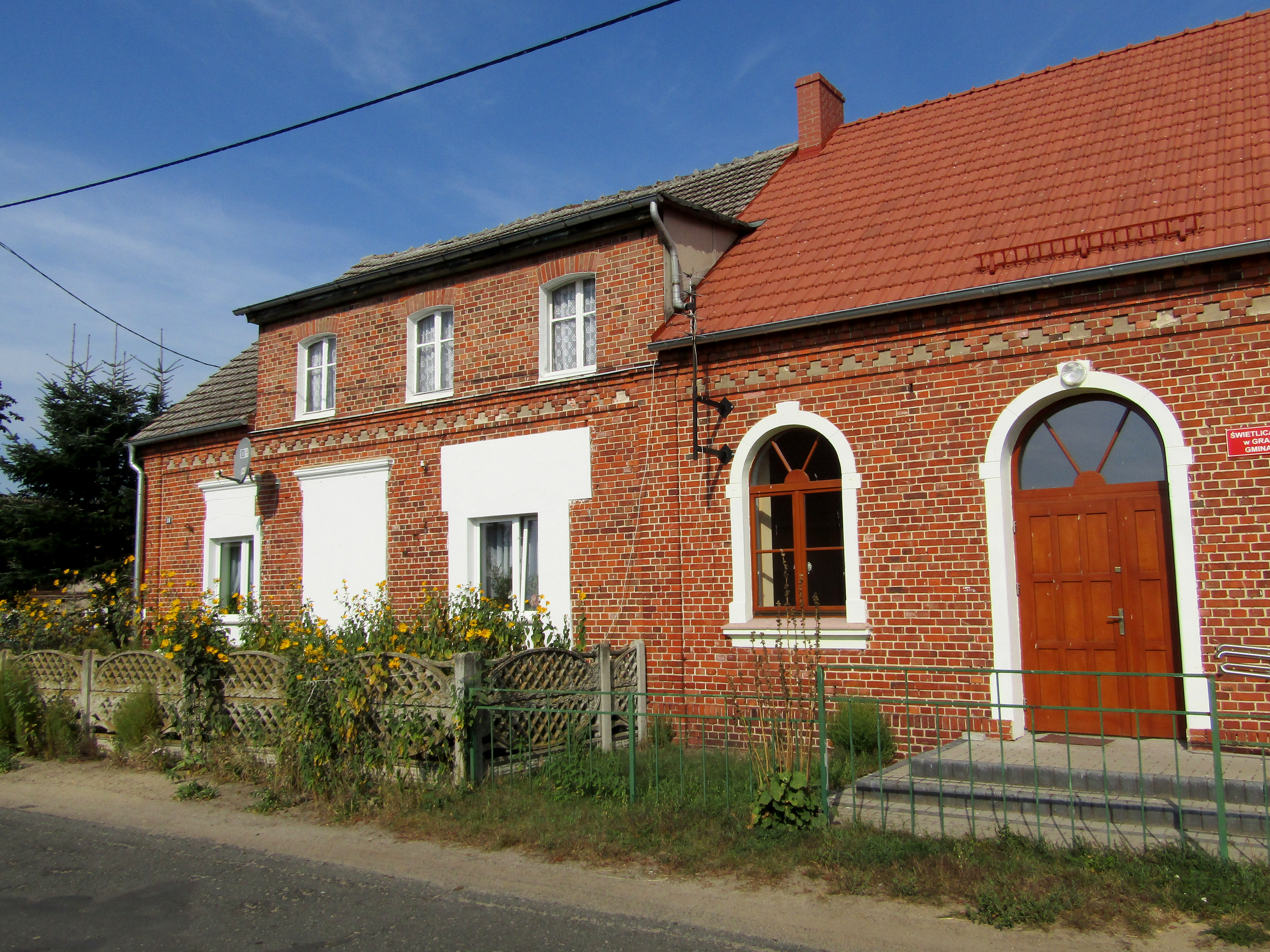
'Żuraw i Czapla' (Crane & Heron) Apartments in Wrobliniec
Wróbliniec
!! This route ranks among the local TOP 5 !!!
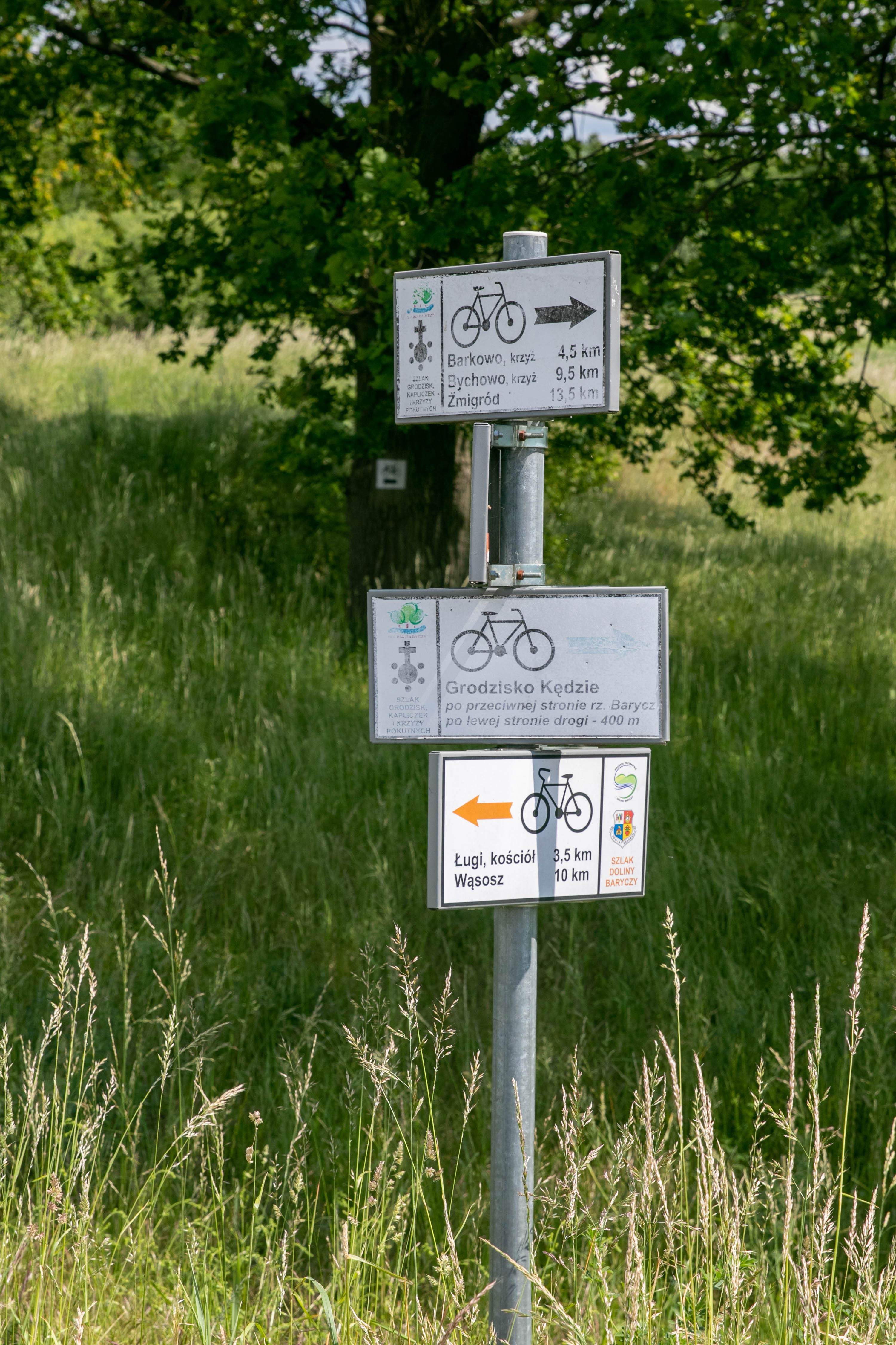
The orange cycling trail of the Barycz Valley is a regional trail, running along the whole course of the Barycz river, from its beginning near Odolanów in Wielkopolskie voivodship to its confluence with the Odra river in Wyszanów in Lubuskie voivodship. It passes through towns such as Odolanów, Milicz, Żmigród, Wąsosz and the huge complexes of the world-famous Milice Ponds.
The route is one of the most beautiful cycling routes, showing the specific character of this unique area: a borderland of cultural, half-timbered and brick architecture and landscape of ponds, which shaped the area and identity of its inhabitants. In a ranking of the most beautiful cycle routes in Lower Silesia by the Lower Silesian Tourist Organisation in 2021, it was ranked second.
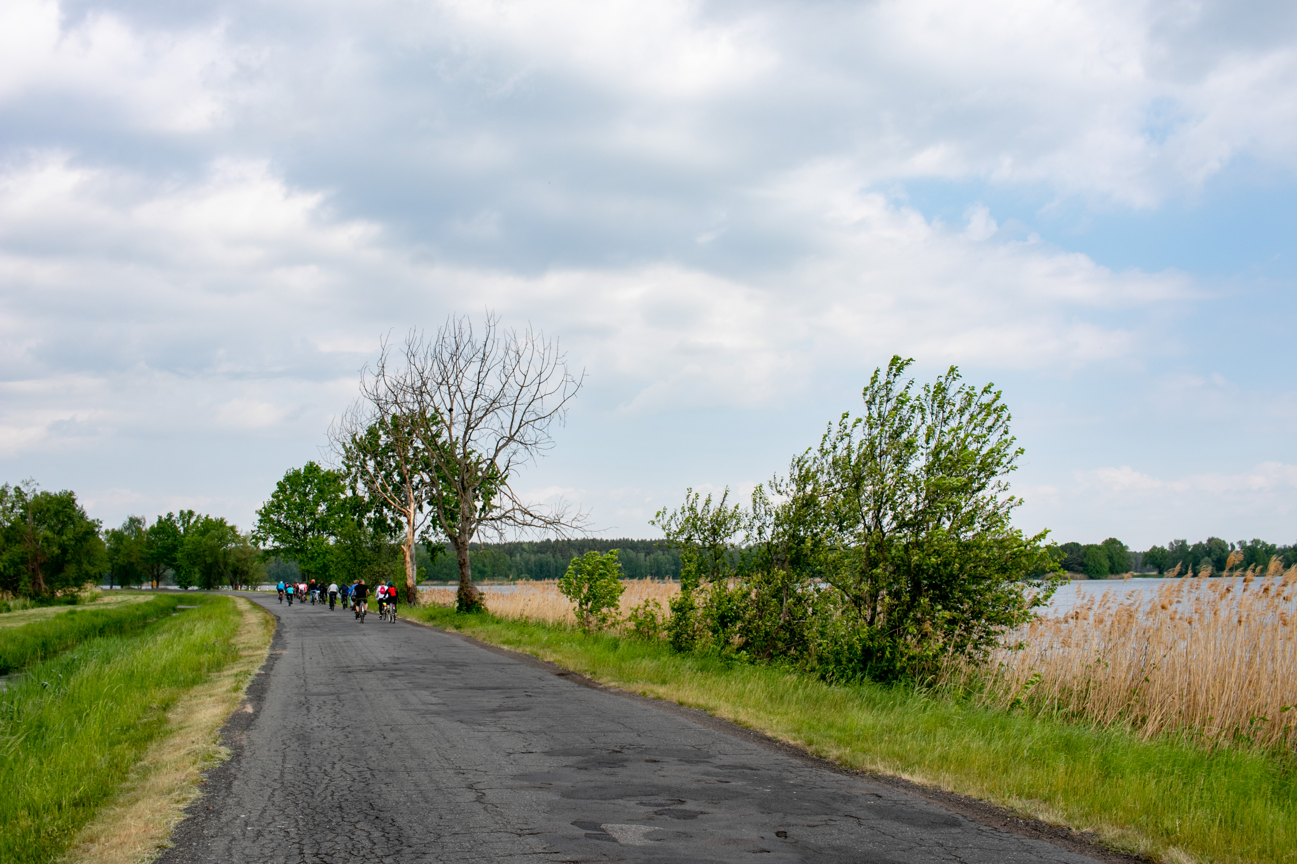
The trail is linear A -> B (horizontal), runs from east to west, and is approximately 140 km long. The trail can be travelled from Odolanów to Wyszanów and vice versa. However, we encourage you to follow the trail from its source to the mouth of the Barycz River, following the current of the river.
Covering the entire route is a 3-4 day trip. The daily distance is optimally 35-45 km. This then provides the opportunity to visit numerous attractions and monuments and to contemplate world-class nature.
Dividing the route into 4 stages (4 days), we recommend the following sections:
(1) Odolanów - Grabownica
(2) Grabownica - Sułów
(3) Sułów - Kędzie
(4) Kędzie - Wyszanów
From Grabownica to Sułów, the orange trail follows the route of the former narrow-gauge railway.
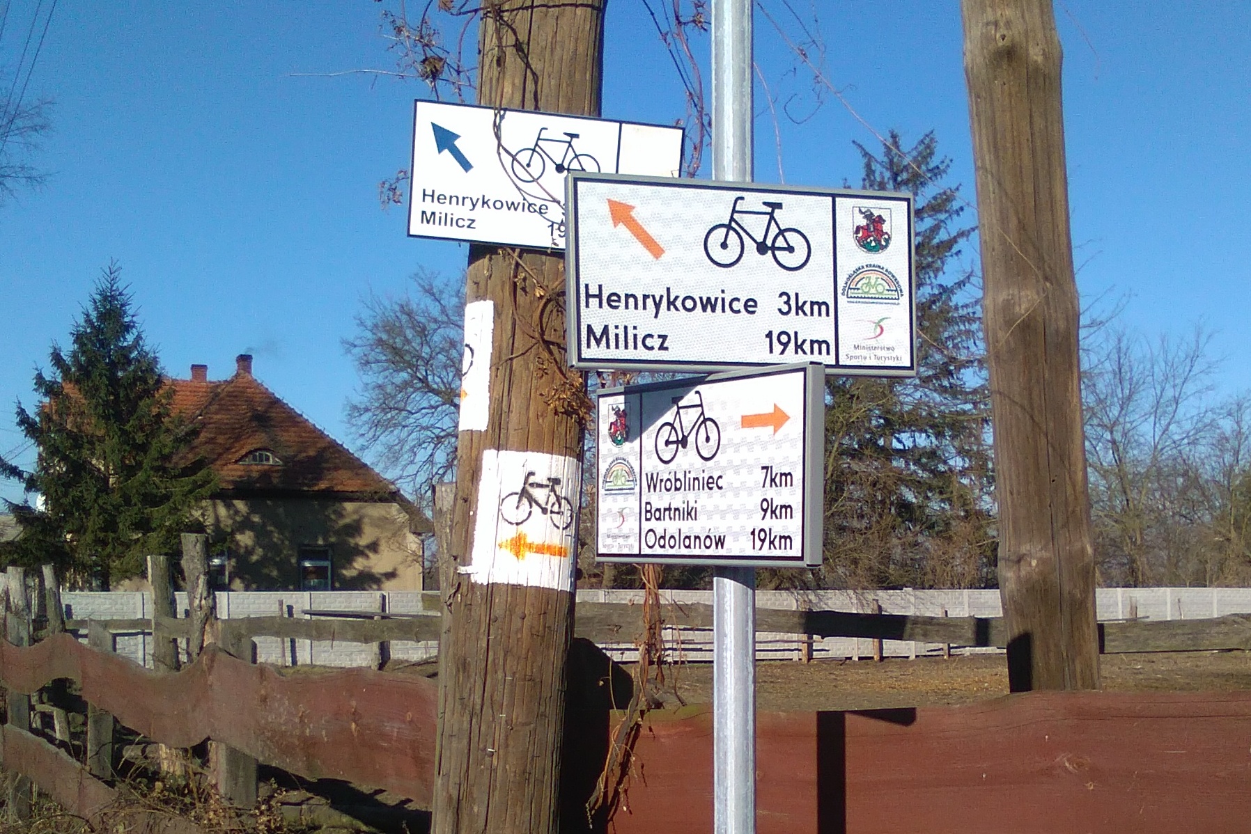
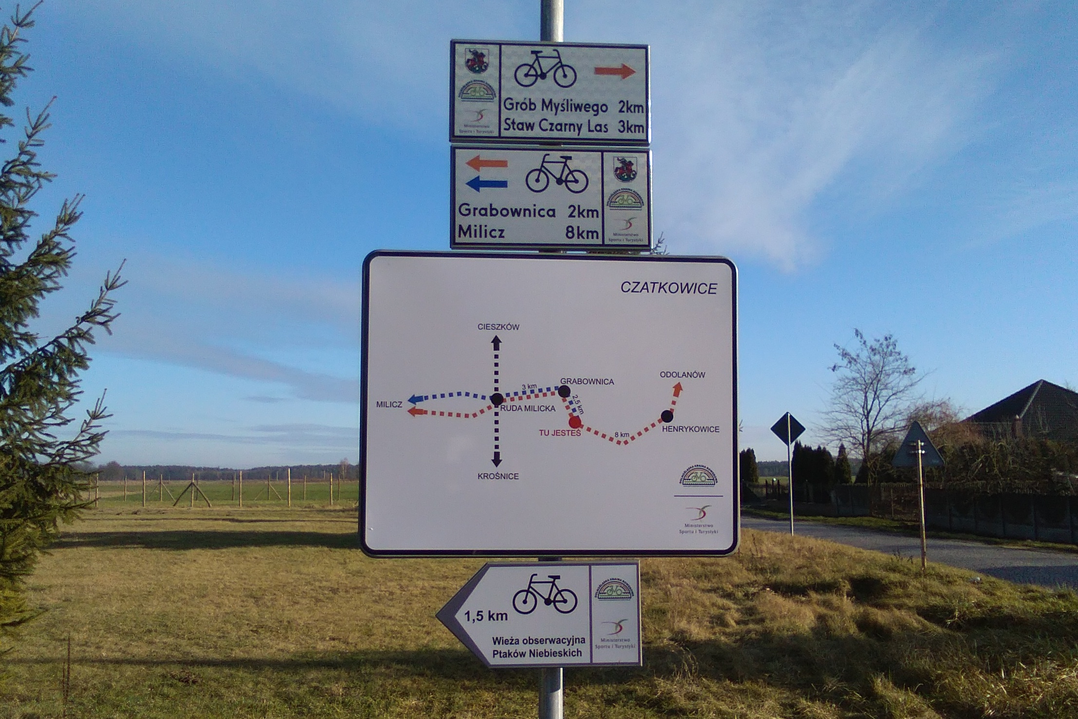
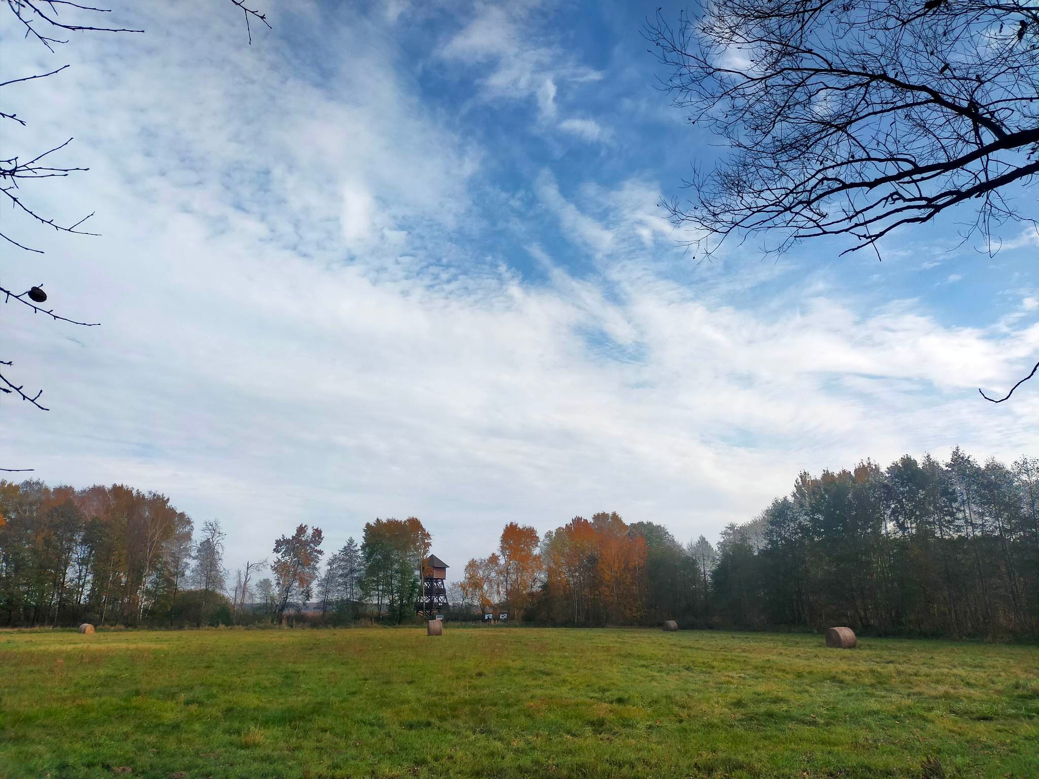
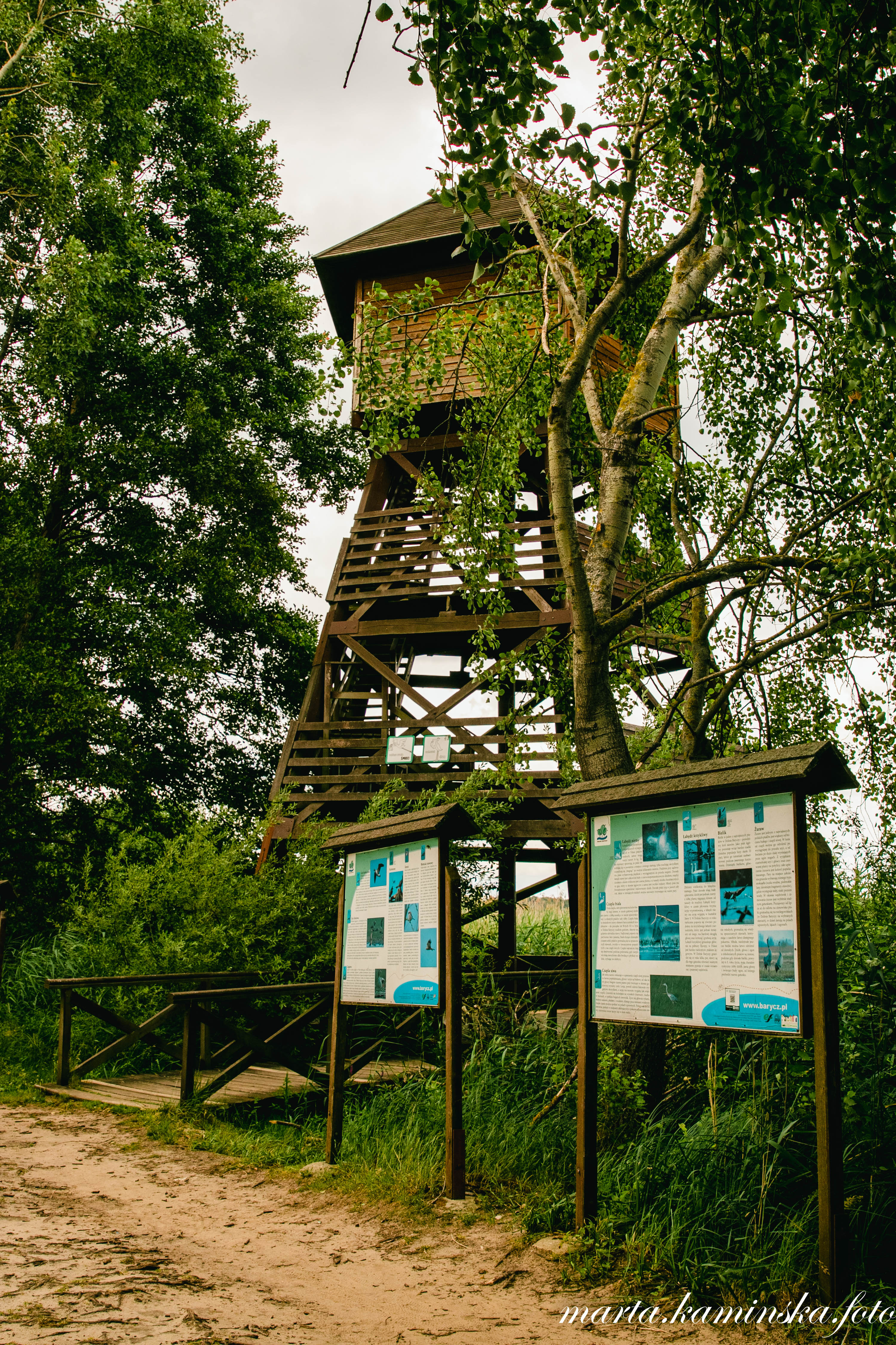
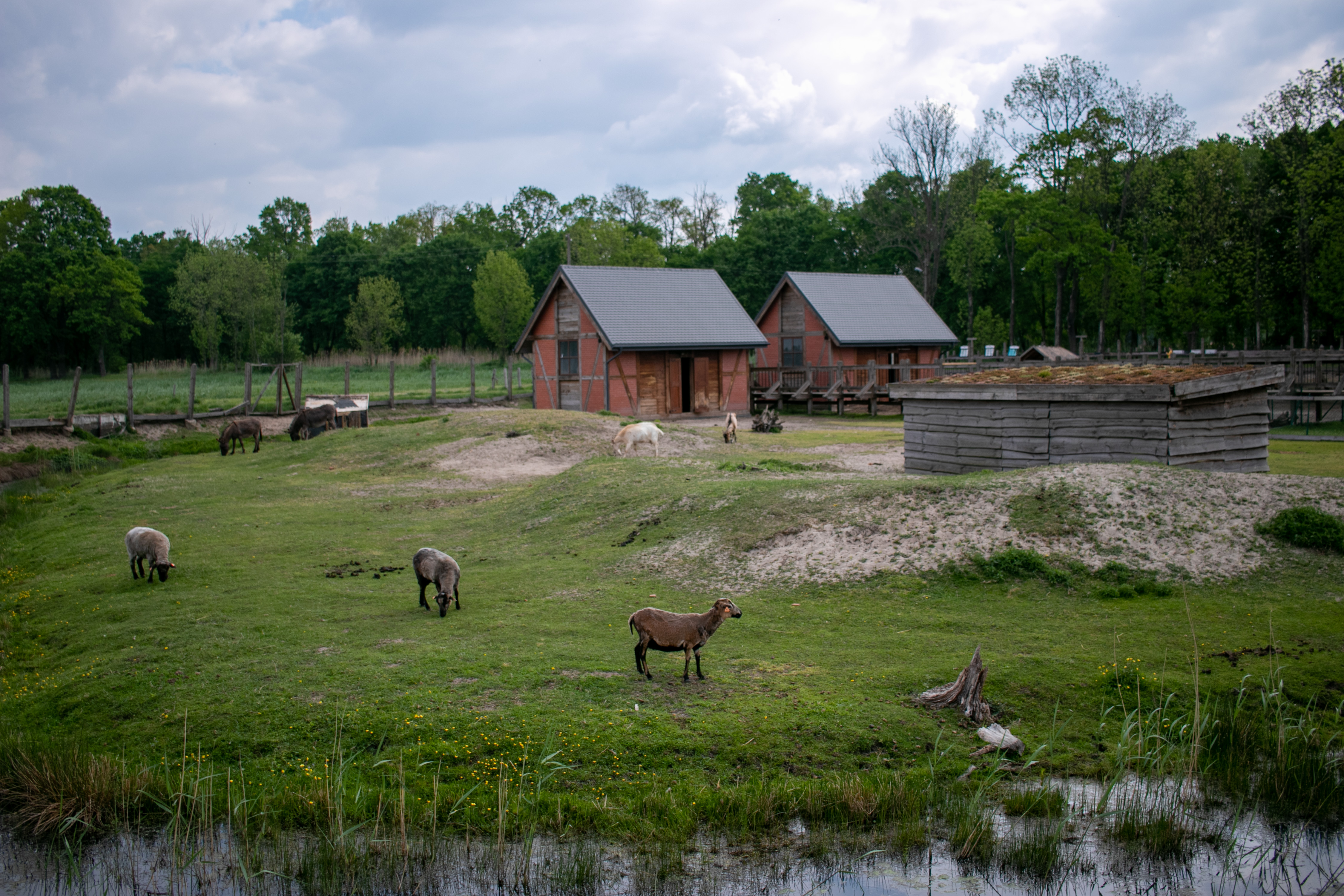
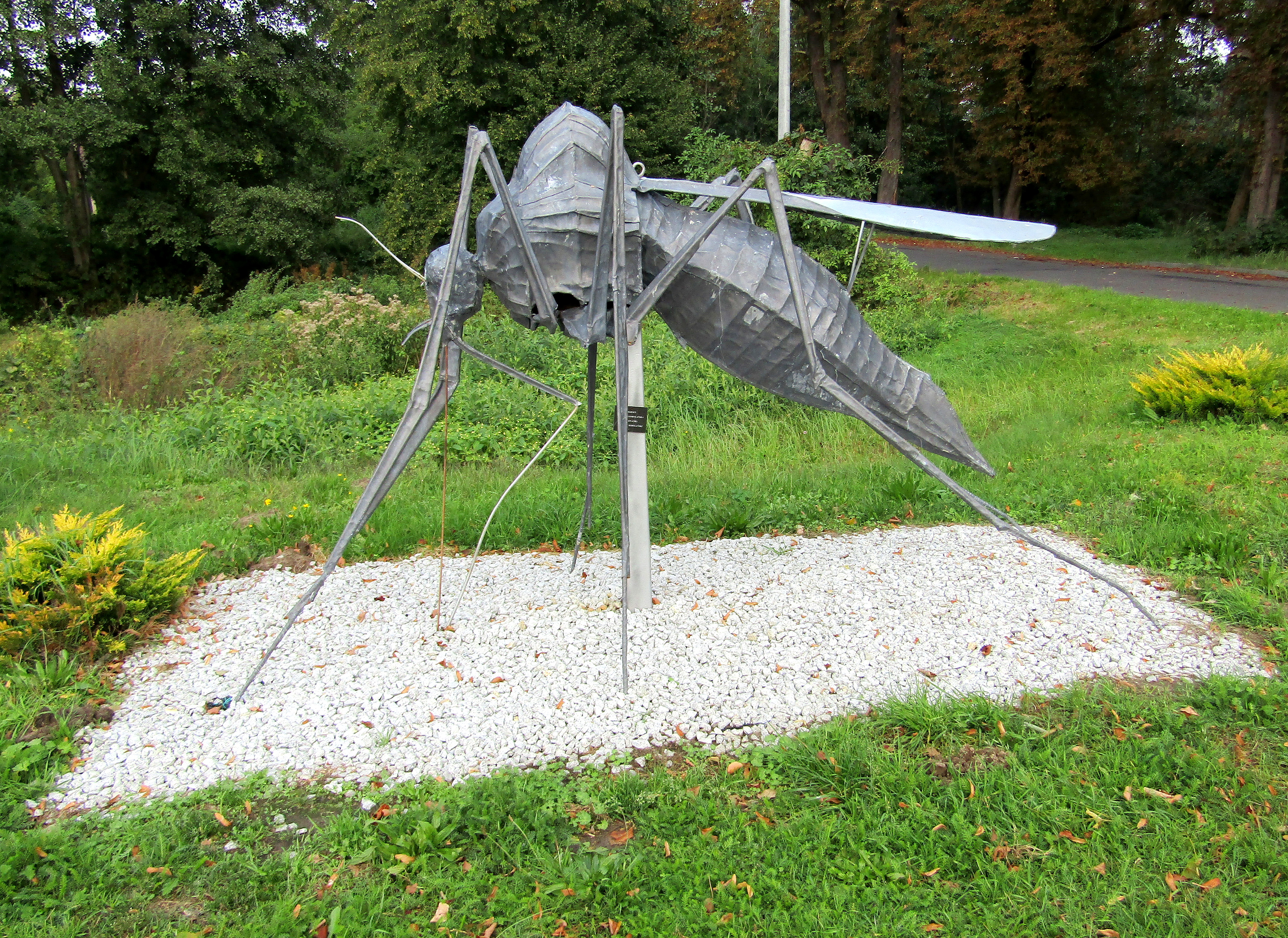
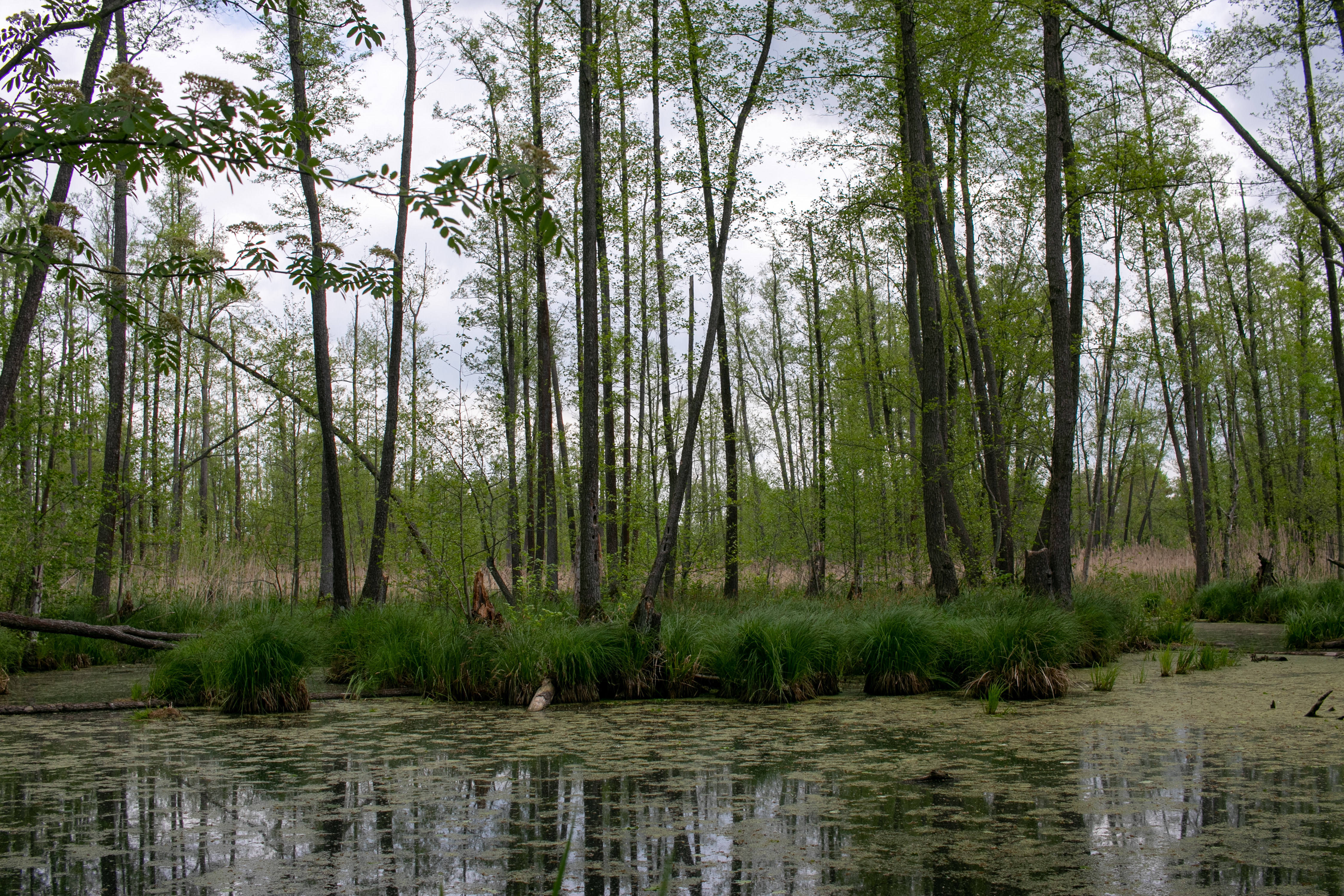
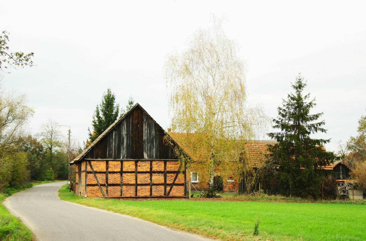
(1) In the Odolanów - Grabownica section the trail leads through an open, agricultural landscape, among fields and meadows, small villages scattered among forests and fish ponds (especially Joachimówka, Grabownica), rich in farms, red-brick or half-timbered dwellings and farm buildings typical for this area, one may also encounter houses made of turf ore. Particularly noteworthy are Henrykowice, Bartniki, Wróbliniec, Joachimówka, Czatkowice or Grabownica. These are very desolate areas. In addition, interesting hydrological devices (e.g. water damming weirs, drainage monks) can be observed on the watercourses near the ponds, which have been used for fishing on the farm ponds here for centuries. In addition, in Grabownica, there is the Blue Bird Observation Tower, popular with tourists, which facilitates observation of birds living on the Grabownica pond.
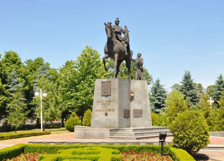
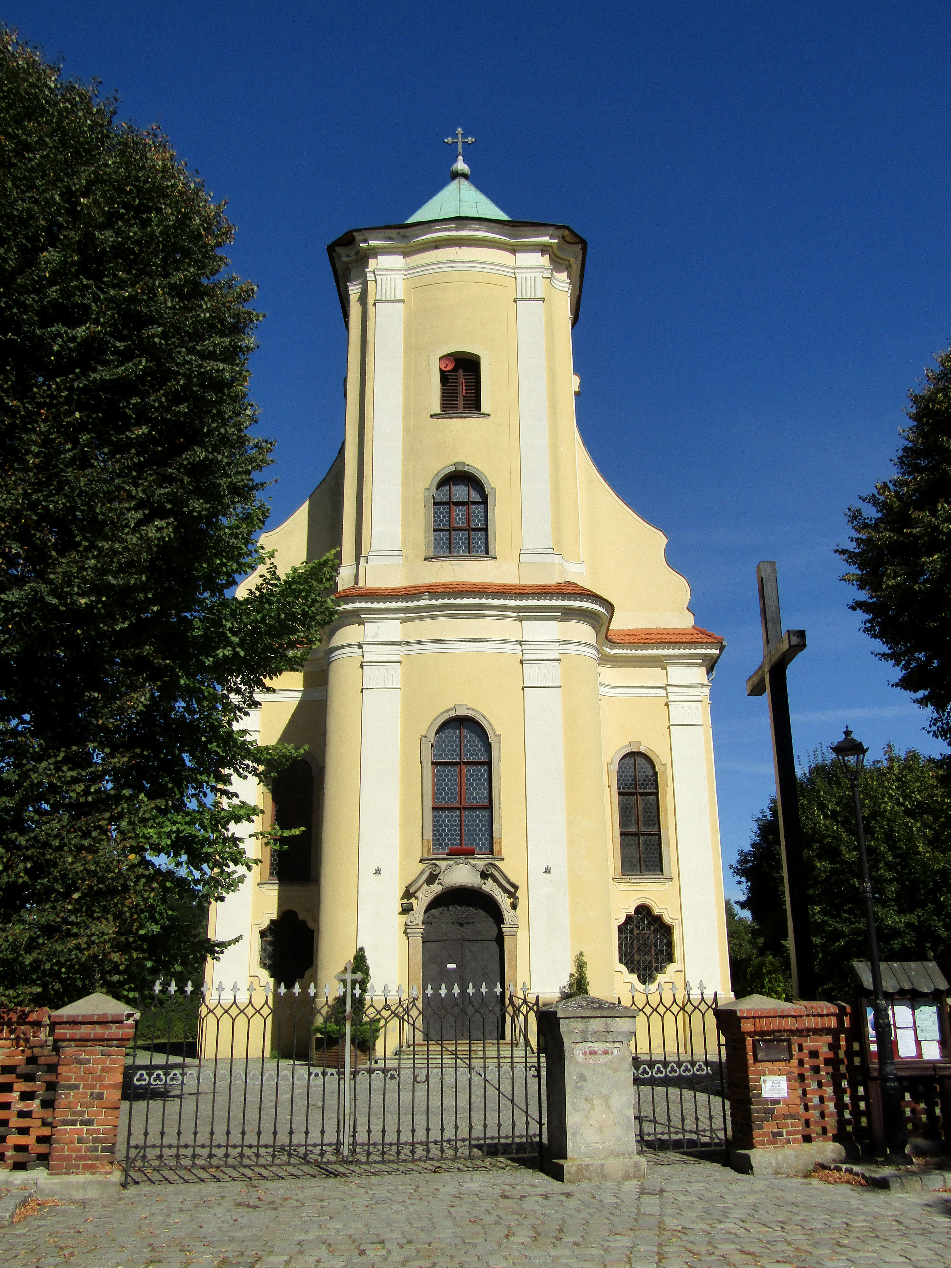
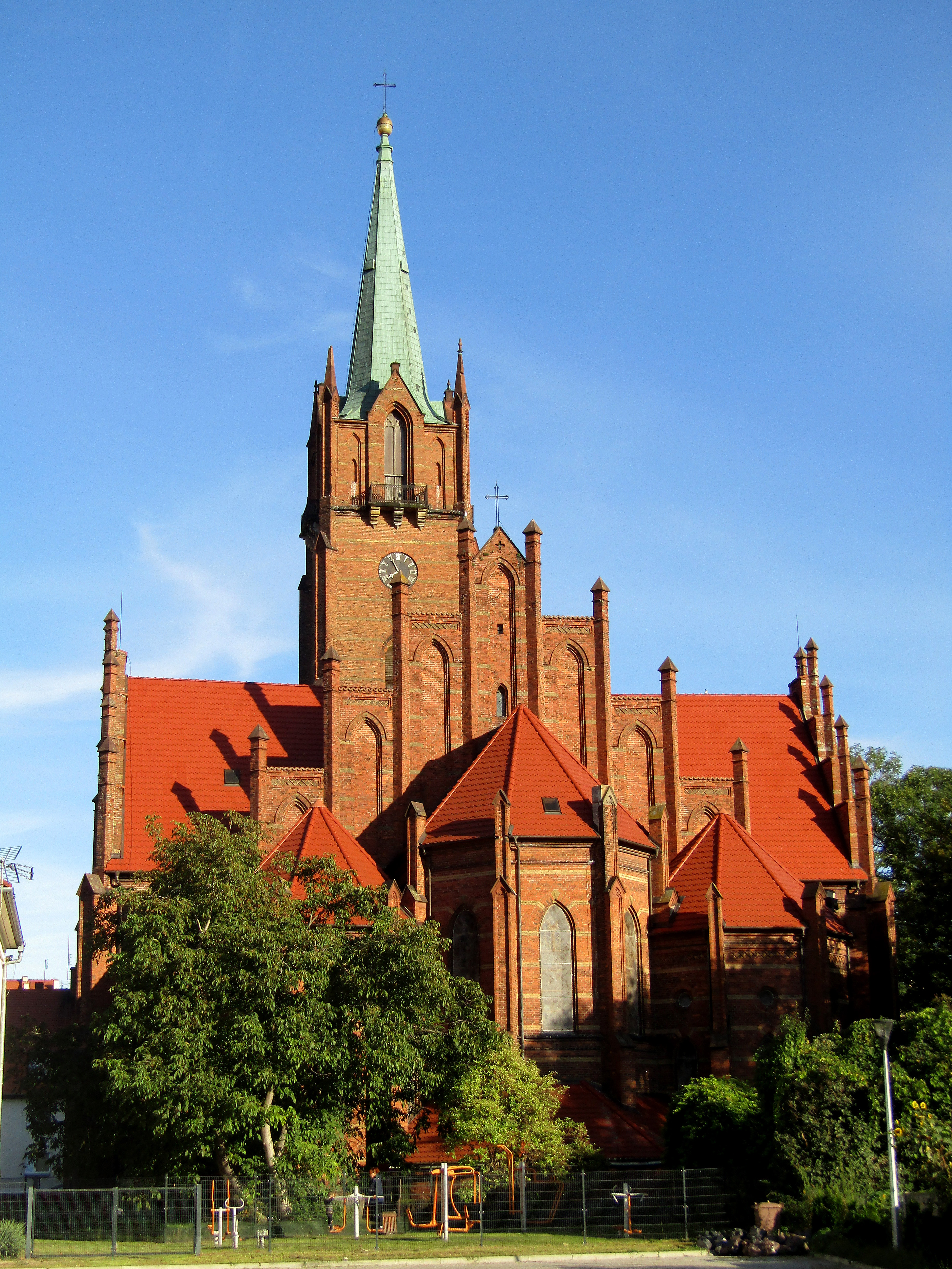
St Martin in Odolanów
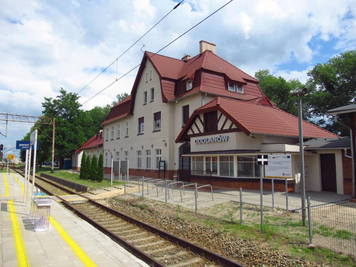
Odolanów railway station
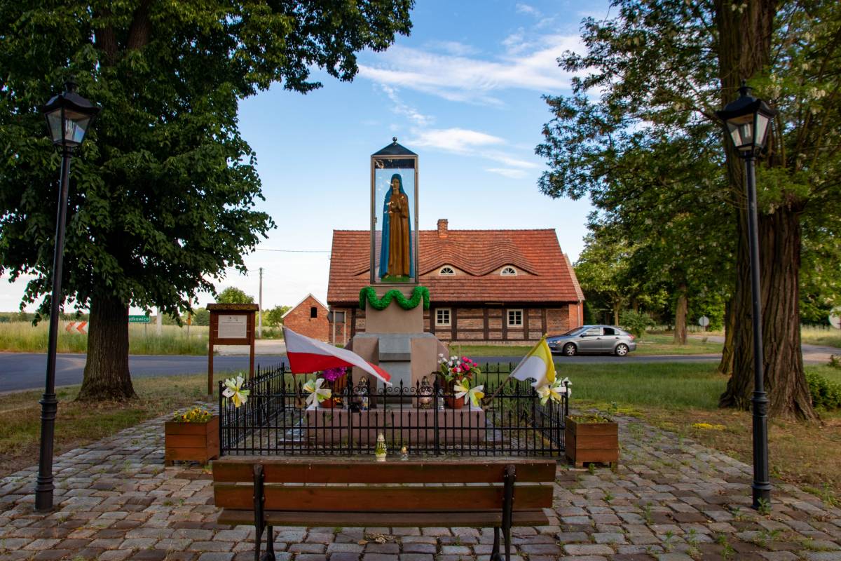
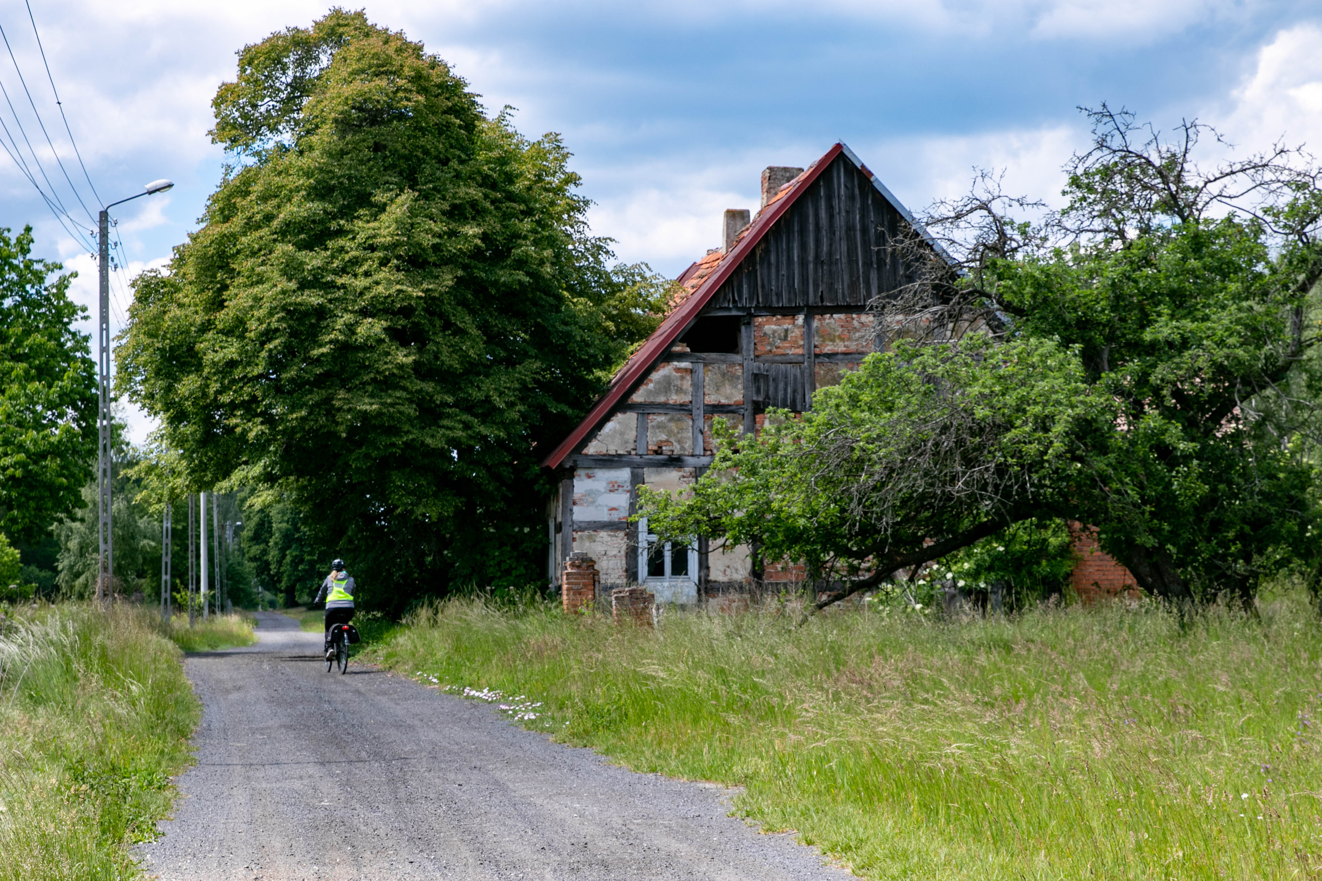
Chapel in Potnia, in the background a country cottage in traditional architectural style
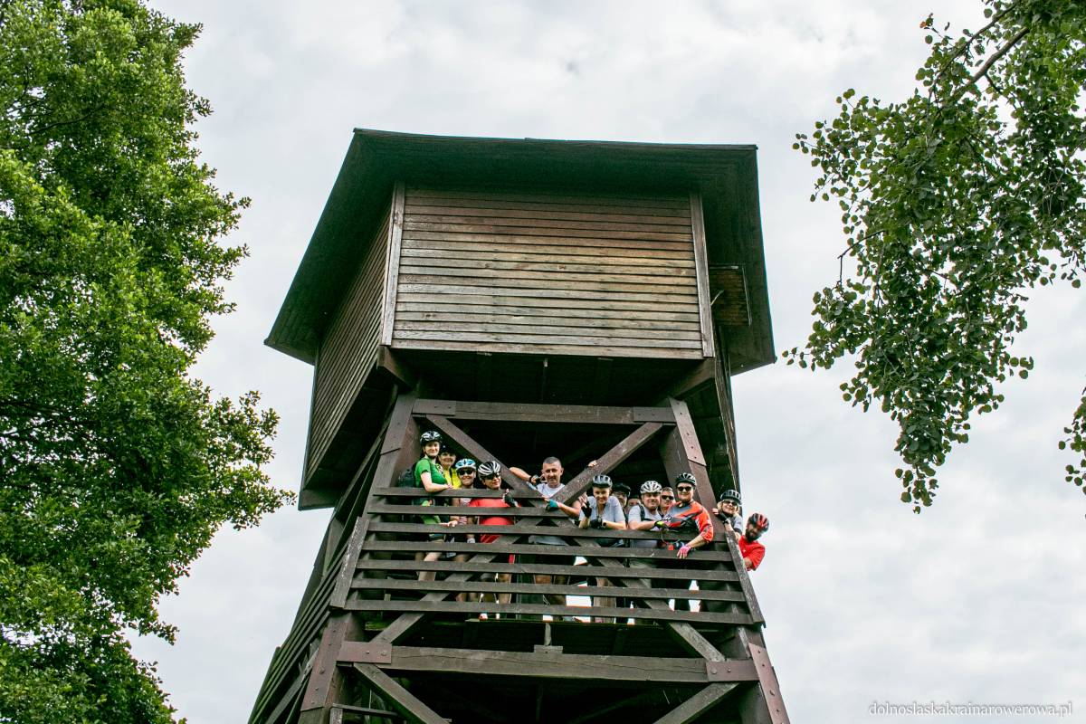
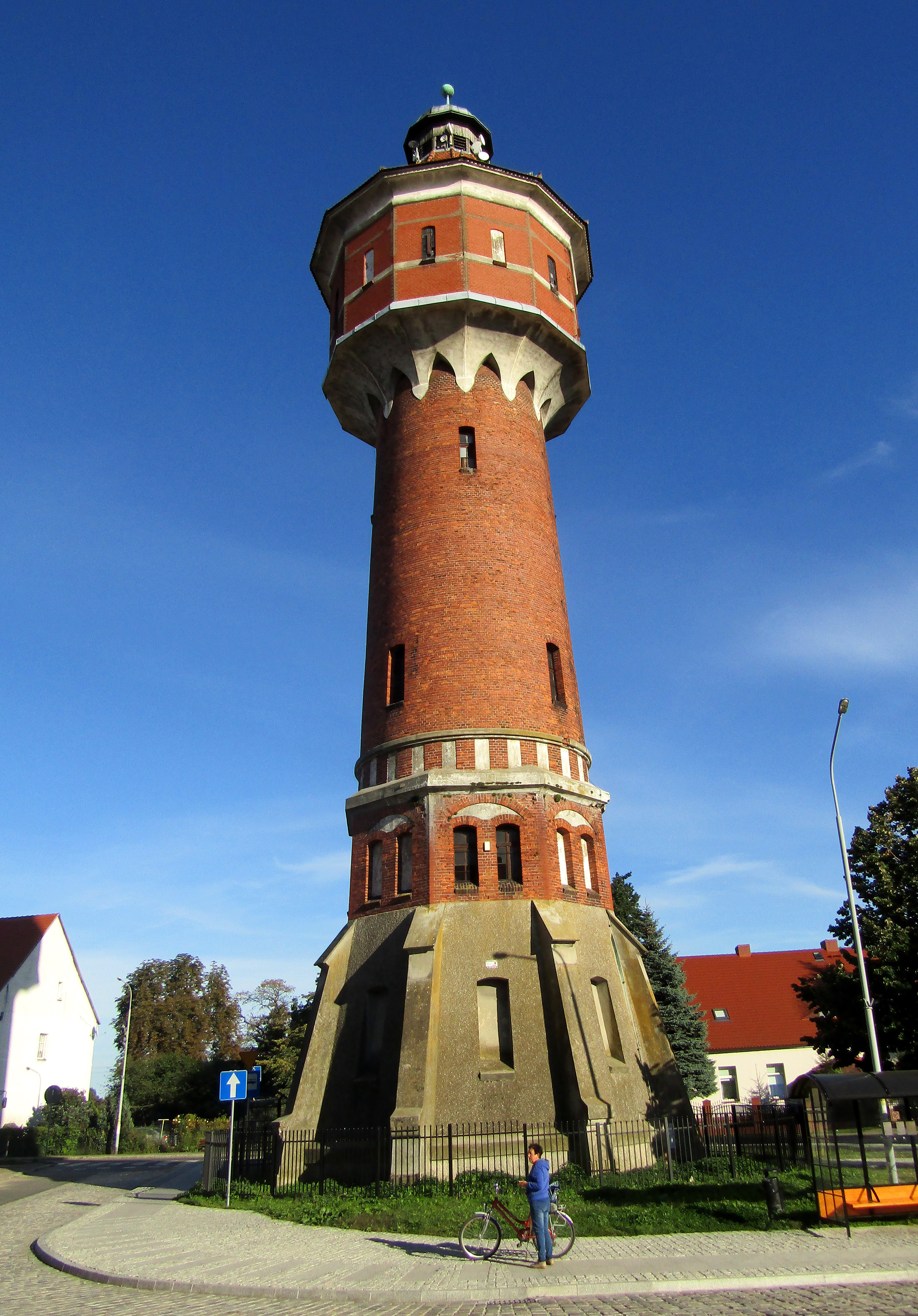
'Bluebird' observation tower in Grabownica near Milicz, above the Grabownica pond
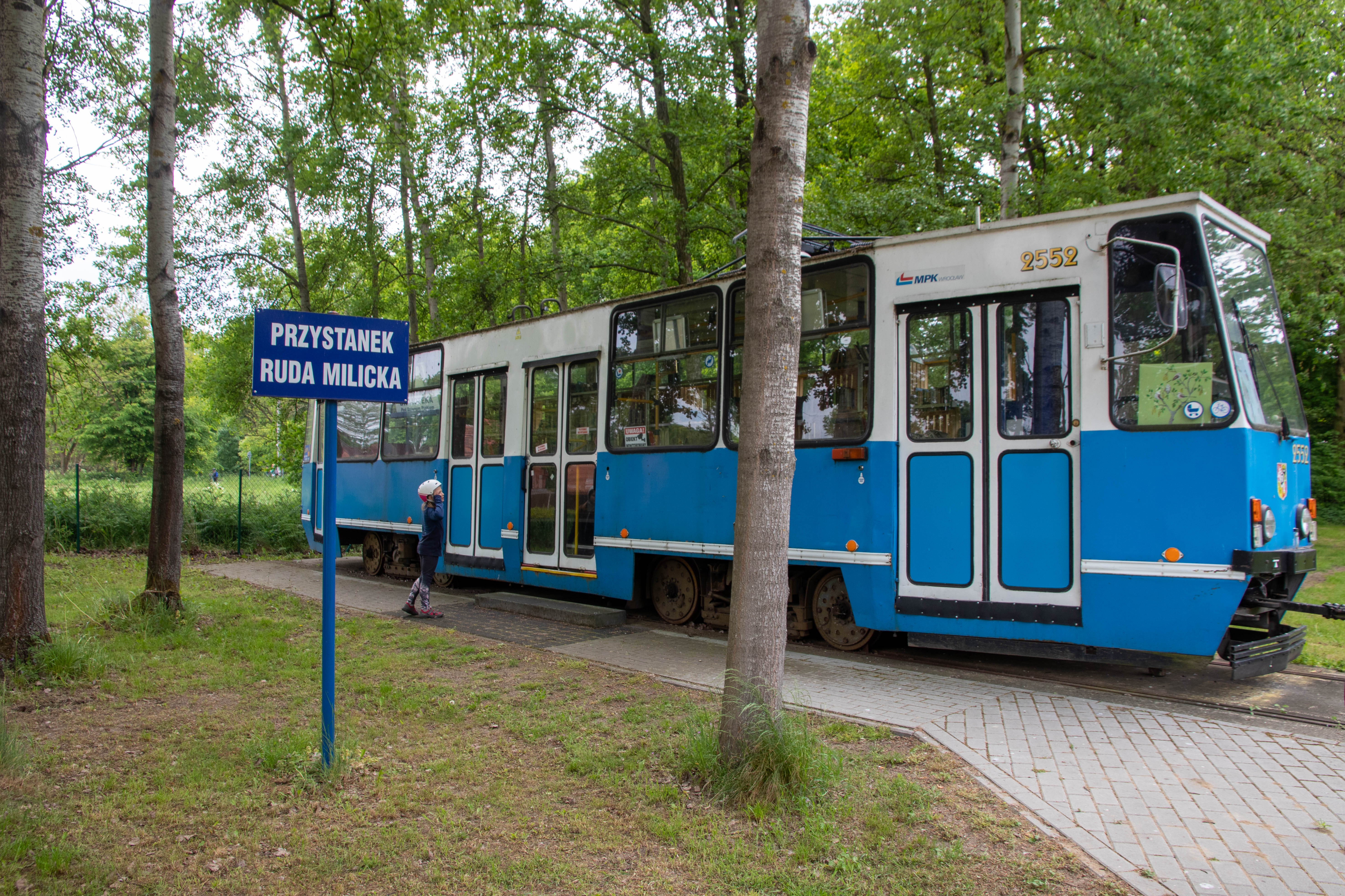
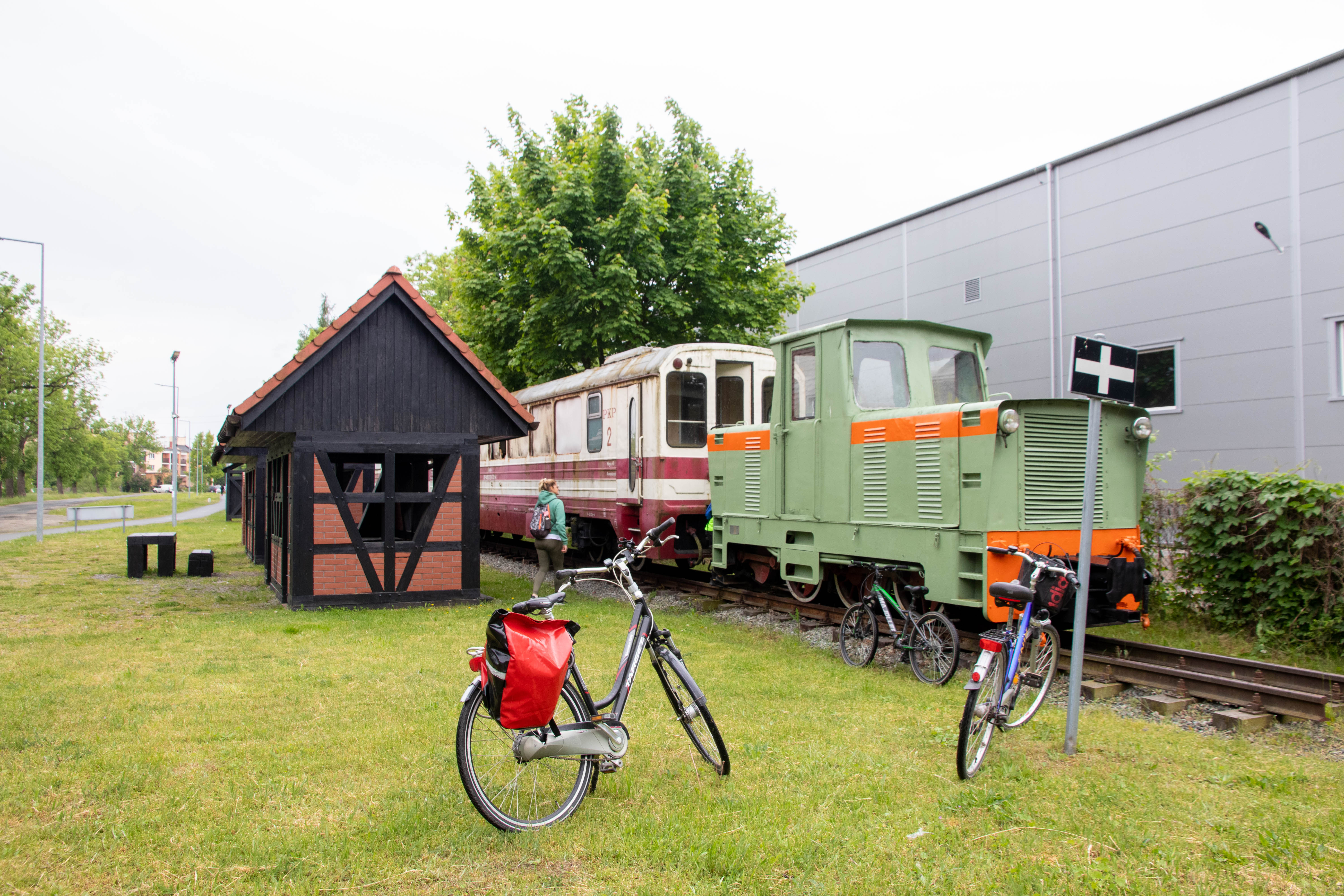
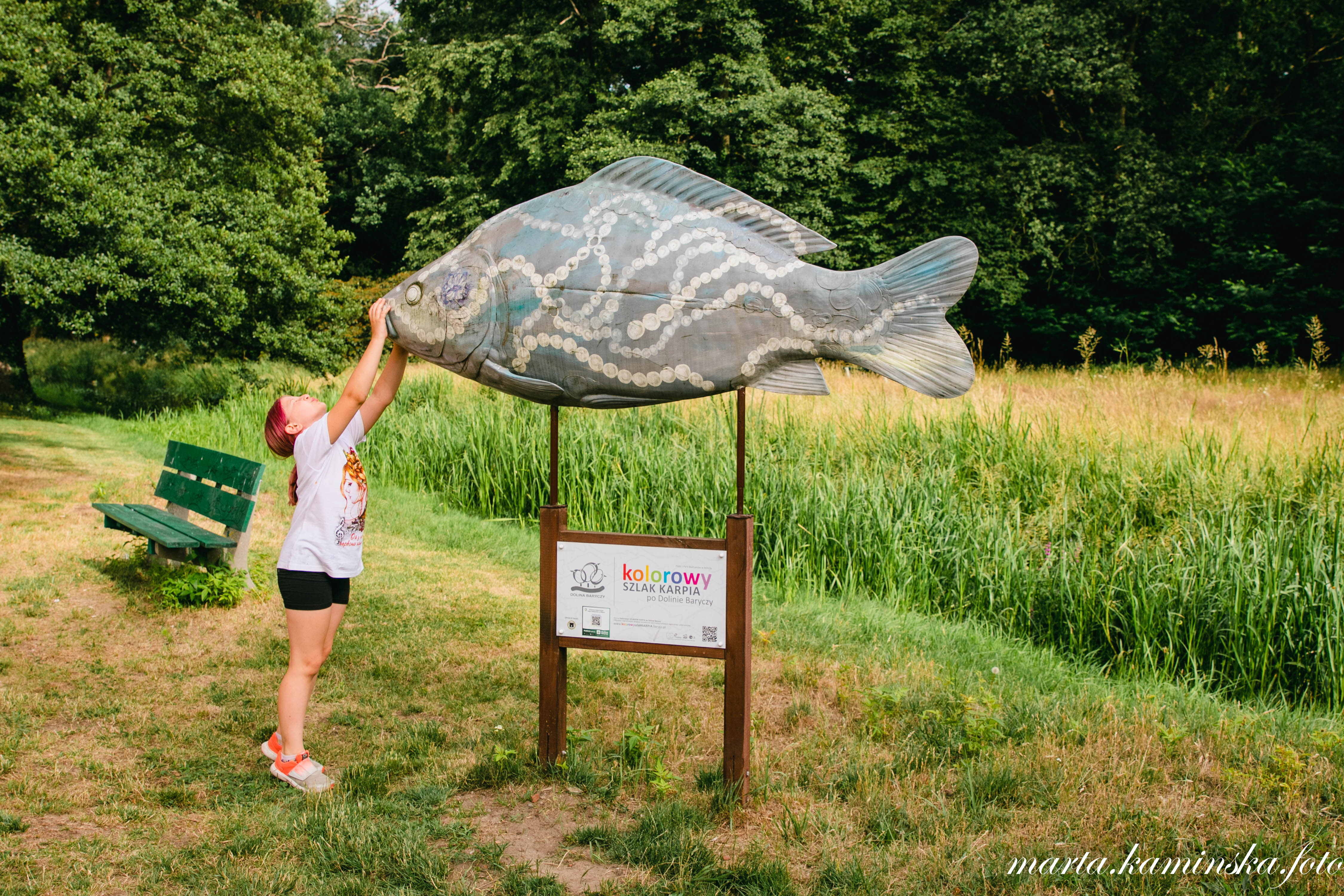
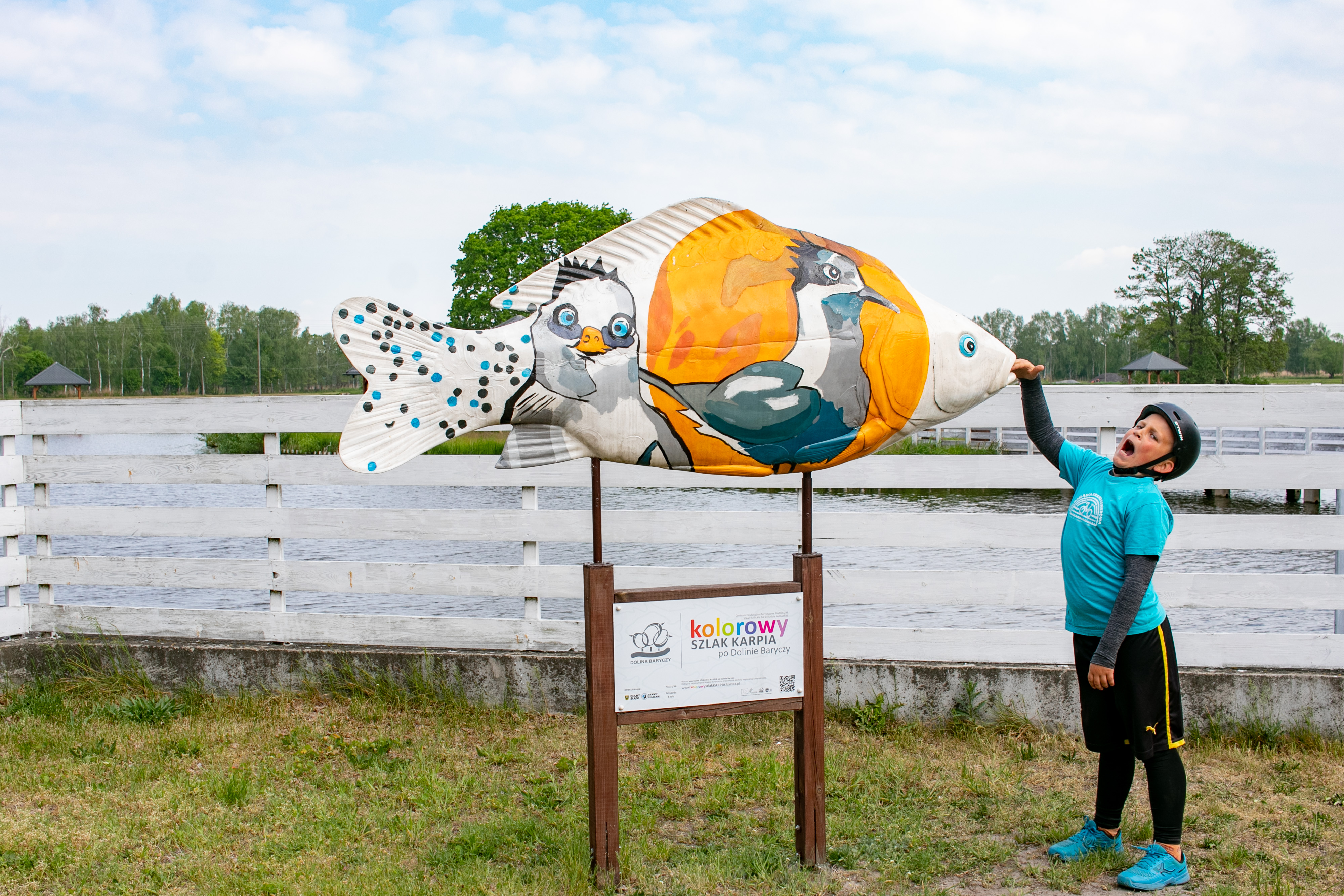
(2) In the middle section of the Grabownica - Sułów route the trail leads along the route of the former narrow gauge railway. It is a route separated from car traffic, running either along a municipal road or through a forest, away from cars. The road surface for the most part is gravel or rolled concrete (water-permeable), with asphalt in the town of Milicz. Along the route there are many interesting places worth seeing, e.g. figures of colourful carp (Grabownica, KOM, Milicz near the aquarium), stops stylised as railway stations or with the cars of the former narrow-gauge railway (referring to the historic Milicz-Zmigród district railway). This section is named after Ryszard Szurkowski, the great cyclist and world champion, winner of the Peace Race, who came from the vicinity of Krośnice near Milicz. Hence, along this section, at the stopping points, there are boards with information about his life and achievements.
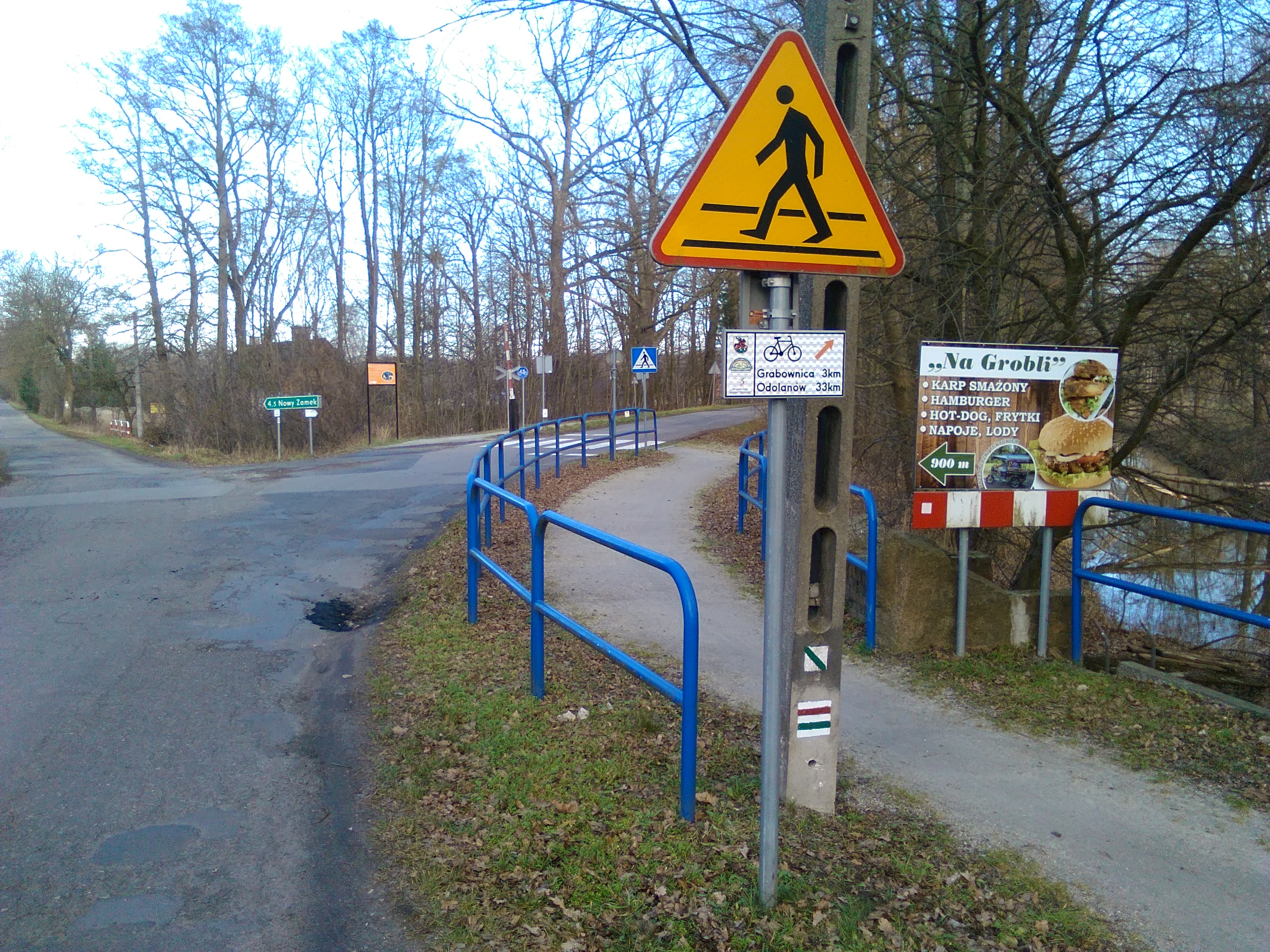
Due to the length of the route and the tourist attractiveness of Milicz, we encourage you to take a longer break in this unwritten capital of the Barycz Valley. You can cycle to all the attractions, i.e. the open-air aquarium with rolling stock (on the route), the Maltzans' palace, the Milicz castle, the ancient castle, the Grace Church, the bird trail, the Creative Multifunctional Facility with an exhibition of the collection of baubles produced in the post-war period, etc. It is a good idea to stay overnight in a cosy guesthouse or agritourism (Cycle Friendly Places) e.g. Hubertówka (Nowy Zamek), cottages (Nowy Zamek), Borowik Hotel (Milicz), W Starym Młyn (Niesułowice), Ceglany Dom (Koruszka) (more at www.dolnoslaskakrainarowerowa.pl/places).
At the end of this section, i.e. in Sułów, the trail turns right towards Łąki and Ruda Sułowska.

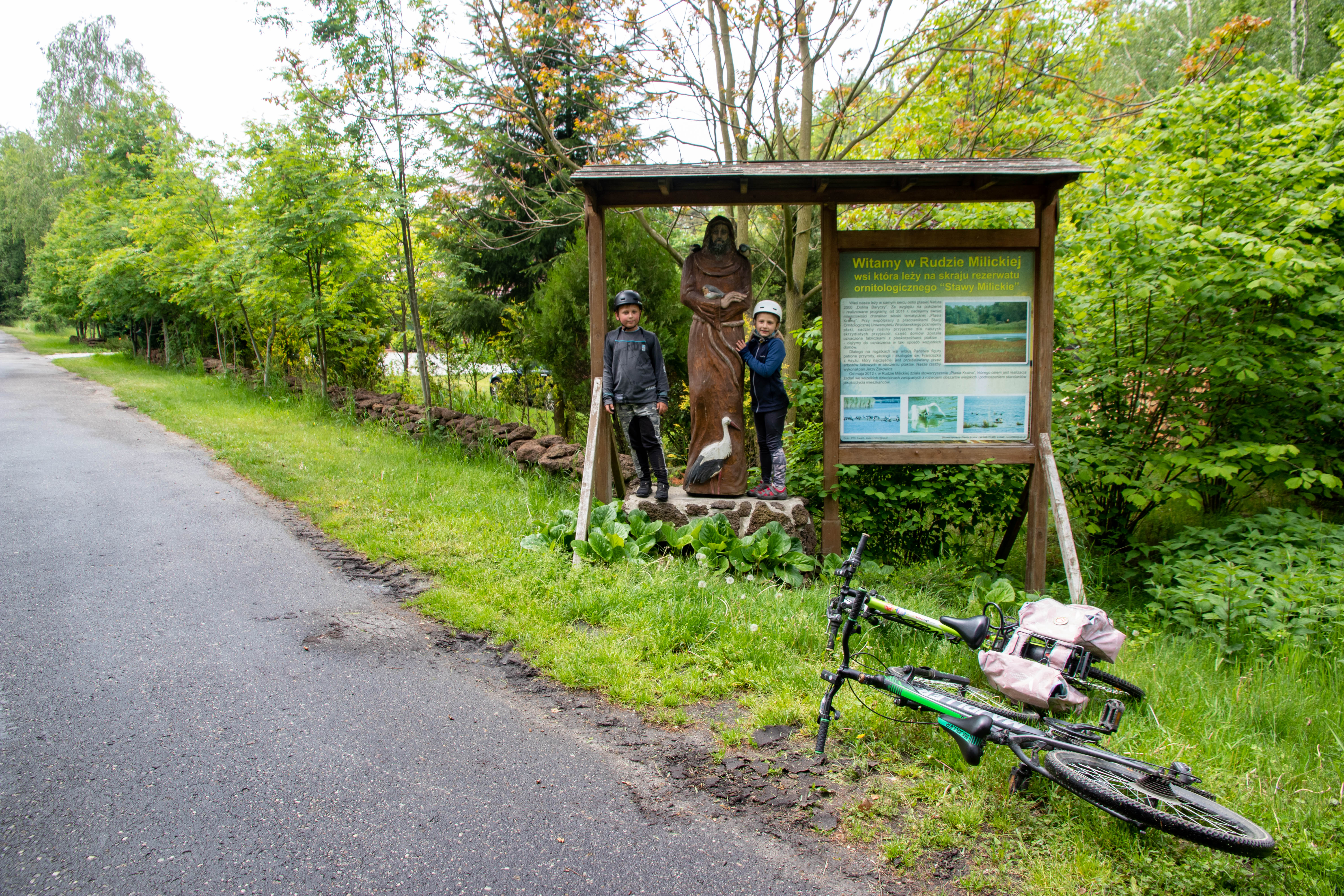
Welcome sign at the entrance to Ruda Milicka
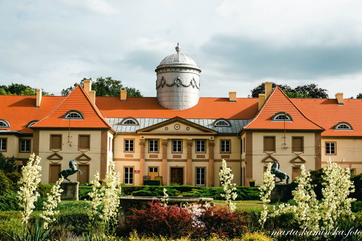
Maltzan Palace in Milicz from the garden side

Christmas ball in Lower Silesian design at KOM in Milicz
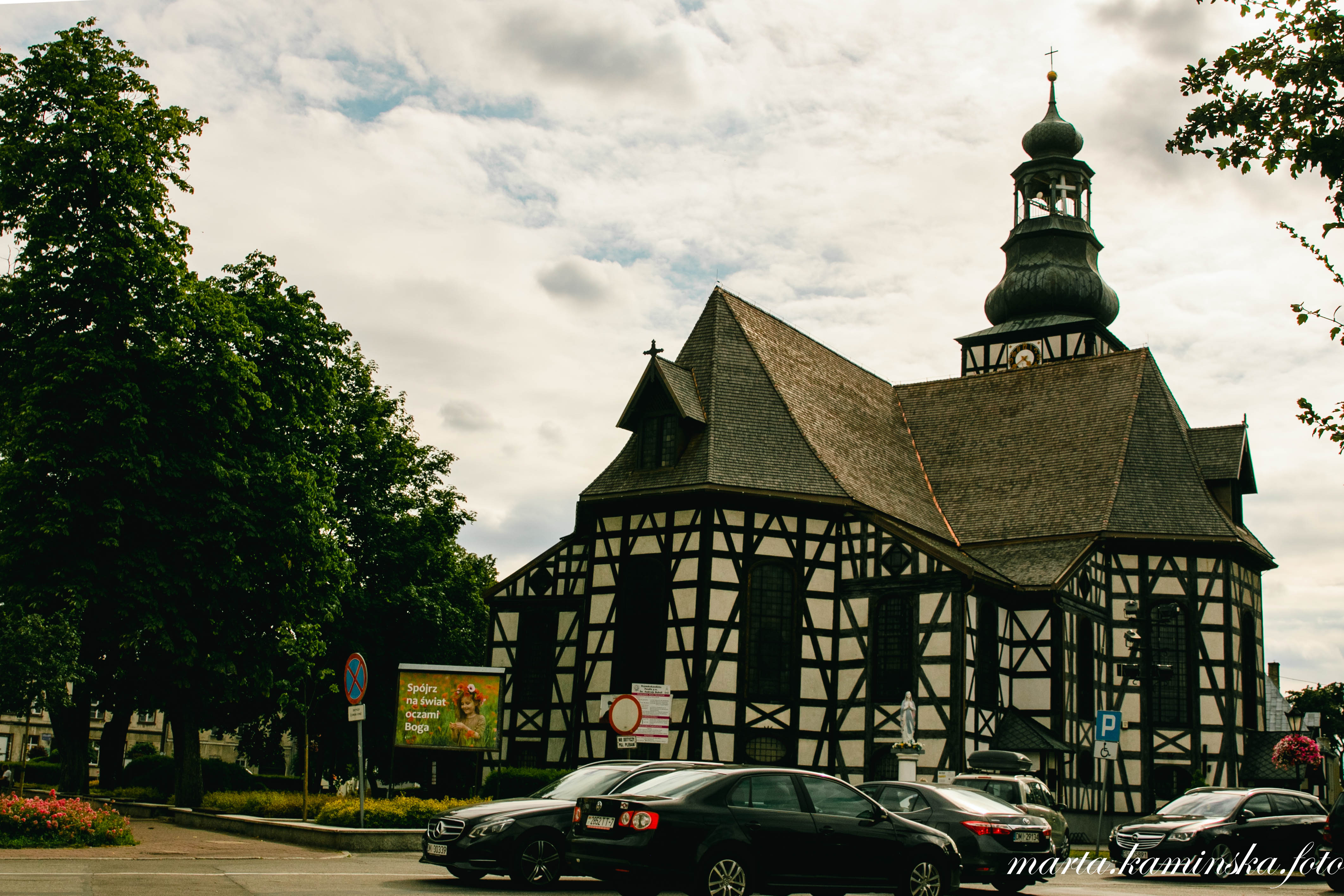
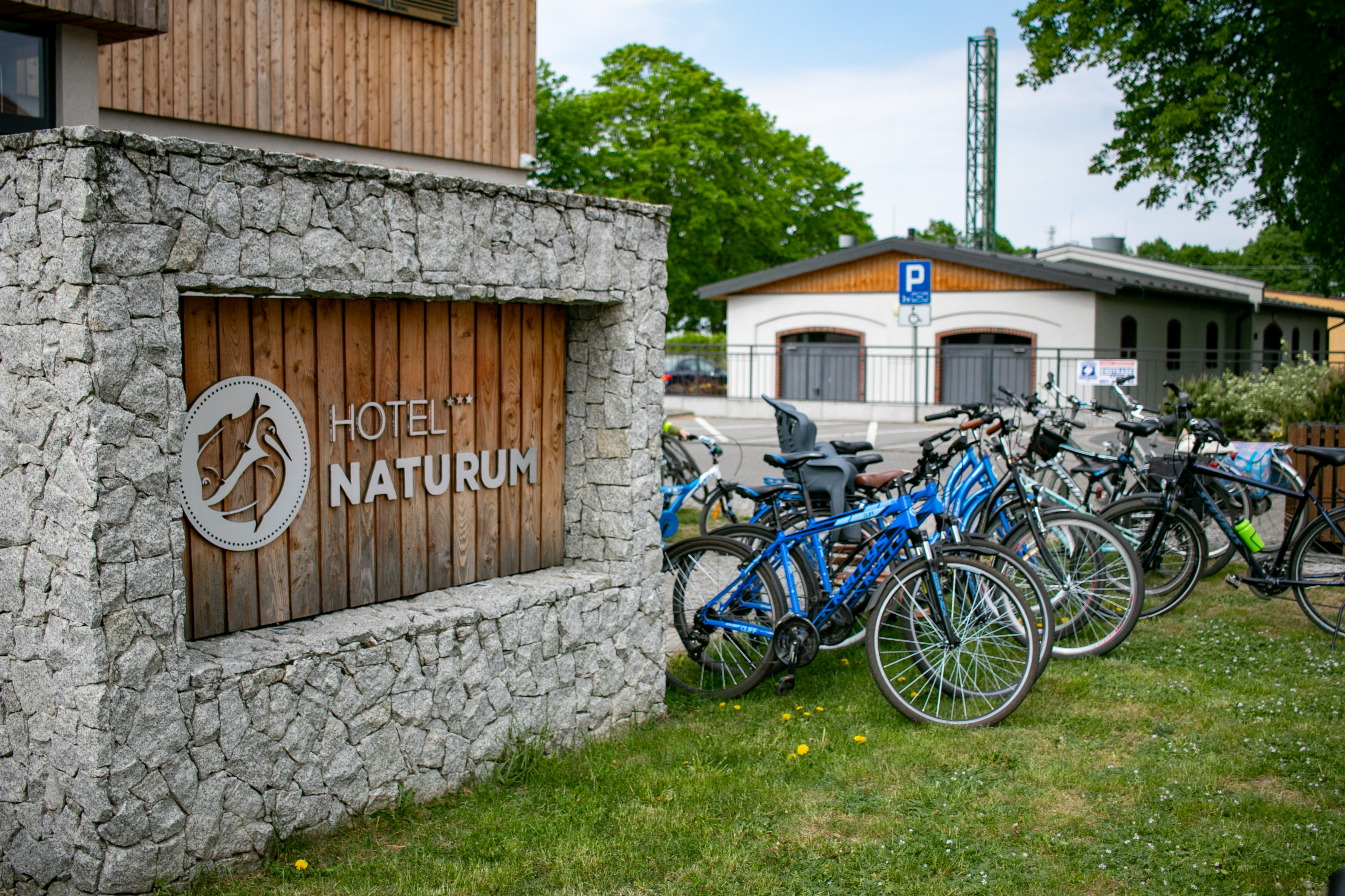
(3) Na odcinku Sułów – Kędzie szlak prowadzi przez najpiękniejsze krajobrazowo i cenne przyrodniczo tereny stawów milickich. Wyjeżdżając z Sułowa warto przejechać przez rynek i położony nieopodal ośmioboczny kościół szachulcowy pw. NMP, dalej trasa wiedzie przez wieś Łąki do Rudy Sułowskiej, pomiędzy naturalnymi łąkami i stawami, gdzie o każdej porze roku obserwujemy mnóstwo różnorodnych ptaków. W Rudzie Sułowskiej można zatrzymać się w Centrum Edukacyjno- Turystycznym Naturum, gdzie znajduje się m.in. muzeum rybactwa Doliny Baryczy, ścieżki edukacyjne, organizowane są wycieczki bryczkami z przewodnikiem rybakiem-ornitologiem, można też skosztować lokalnej ryby w restauracjach 8 Ryb lub Głowaczówka. Miejscowości Ruda Sułowska – Grabówka – Niezgoda – Radziądz to podróż pomiędzy stawami, które ze względu na swój tradycyjny charakter, wielkość i naturalną linię brzegową, przypominają rozległe jeziora. Warto się tu zatrzymać i w ciszy kontemplować ten unikatowy krajobraz oraz żyjącą w swoim rytmie przyrodę, pełną roślinności, ptactwa, płazów, ssaków. Nie trzeba długo czekać, żeby zobaczyć lisa samotnika czy poruszające się stadnie dziki, sarny lub jelenie. Z Radziądza trasa prowadzi skrajem łąk i pół, przez Żmigródek, do Żmigrodu.
Half-timbered barn in Kędzie
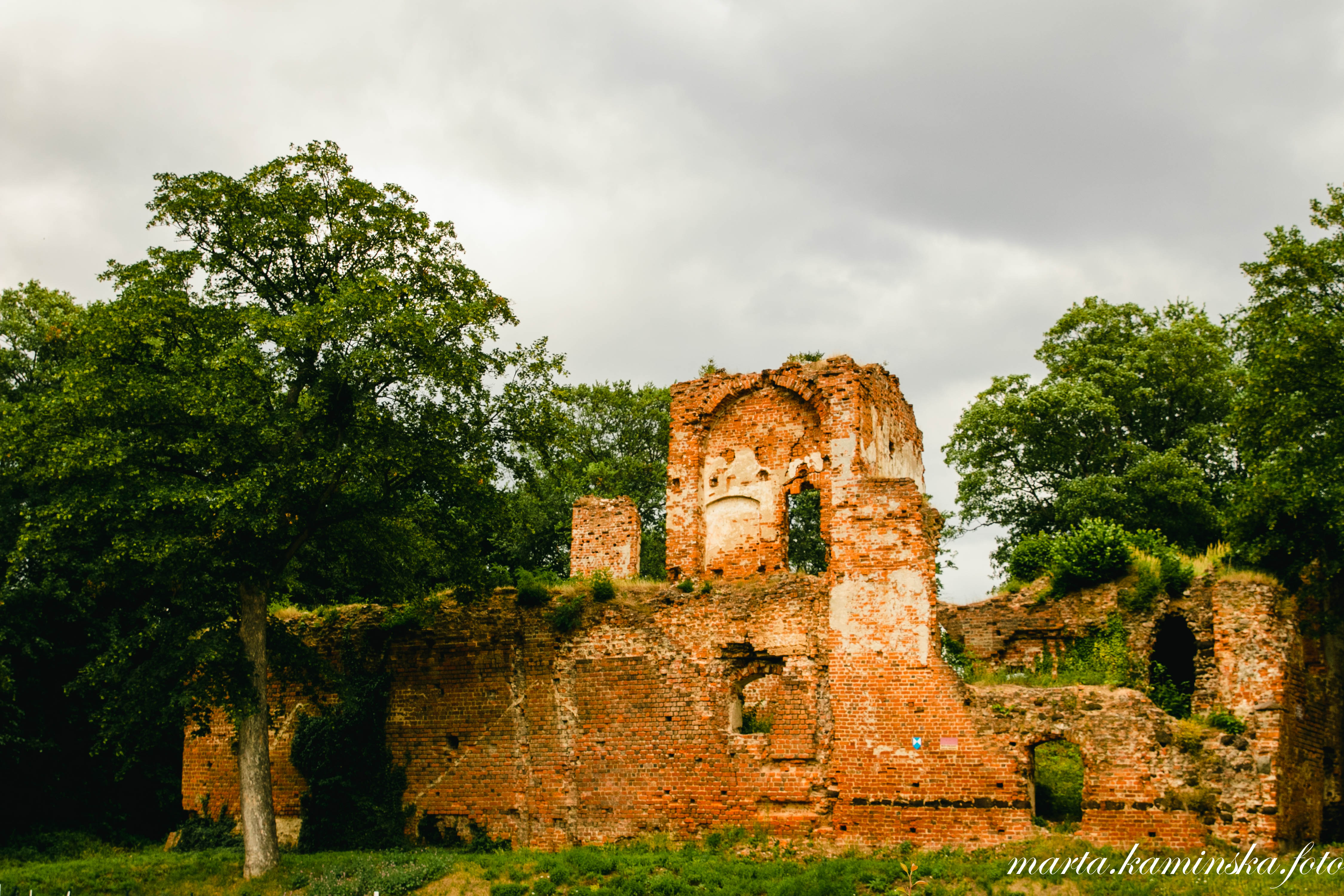
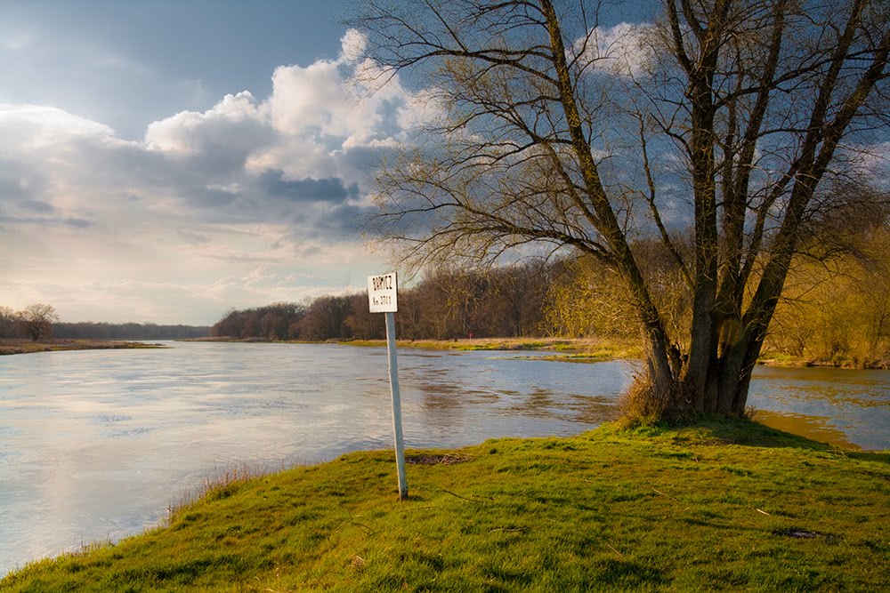
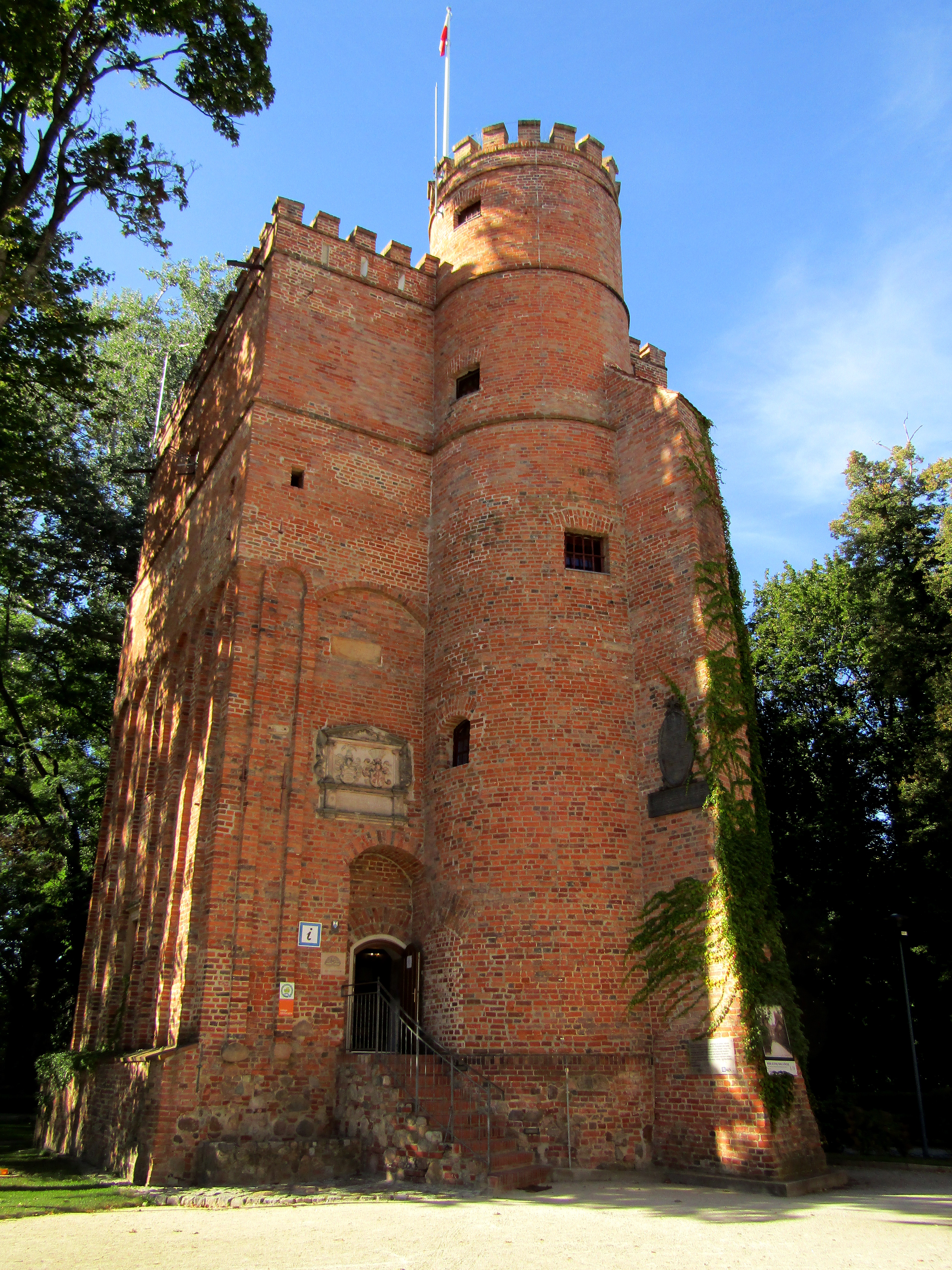
Żmigród is a charming border town, once German, managed by the economical and progressive Hatzfelds (one of whom was mayor of Silesia at the beginning of the 20th century), but today also thriving and attracting tourists. It is worth stopping here to visit, for example, the Palace and Park Complex with a historic defensive tower from the 16th century and a vast, well-kept park. From Żmigród, the trail leads through villages and forests to Kędzia. Here the trail ends at the Barycz River, which is wider and more impressive than in earlier sections.
(4) The last section Kędzie - Wyszanów leads through the most desolate areas of the Barycz Valley, to the estuary of the river to the Oder. In this section we ride through the small villages of the municipalities of Wąsosz and Niechlów scattered between fields, meadows and forests. Traffic is definitely lighter here, nature is stunning, the Barycz River meanders spectacularly and is much wider, deeper and wilder than at its source near Odolanów. On this section we pass such villages and towns as Ługi, Wąsosz, Lechitów, Wierzowice Wielkie, Ryczeń, Osetno and Wyszanów. Of the noteworthy sights and attractive places along this route, we have: The ducal castle in Wąsosz in the 18th century transformed into a baroque palace, the neo-Gothic parish church of St. Joseph the Spouse in Wąsosz, the Gothic branch church of the Immaculate Heart of the Blessed Virgin Mary in Wąsosz (until 1945 the Evangelical church of St. Matthew, 1580) or the maple-leaf plane tree in Lechitów.
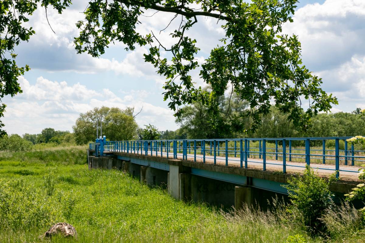
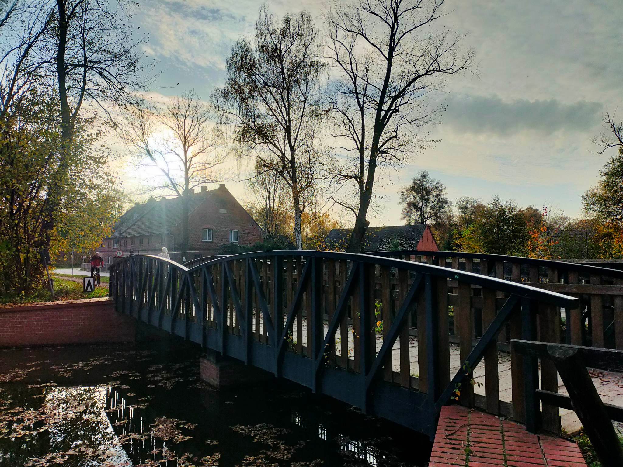
Bridge over the Barycz River in Kędzie
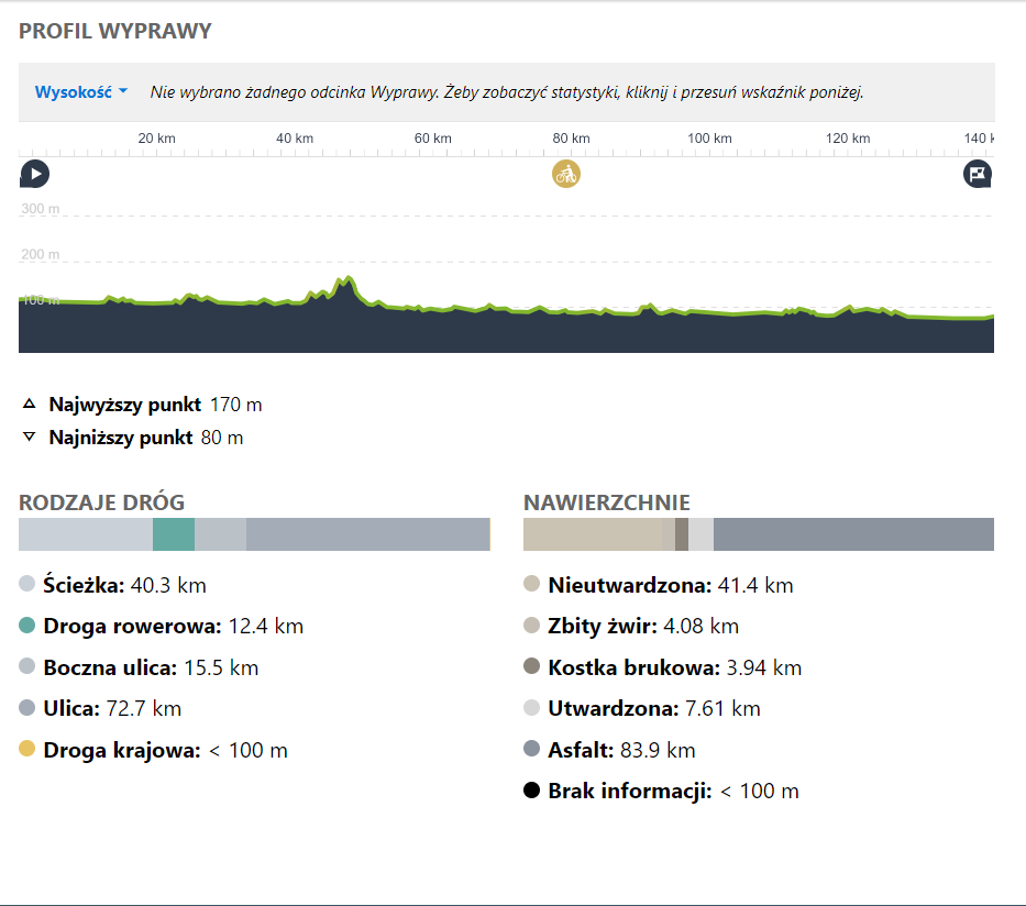
HIGHT PROFILE OF THE ROUTE:
Want a GPX of the route? Contact us: biuro@dkr.travel.pl
Need help organising a group trip? Contact us: biuro@dkr.travel.pl
If you are interested in helping us plan and prepare your group's stay and in being accompanied by a local guide who will tell you about the region's assets and take you to the most interesting places, please contact us. (Paid offer, we will provide an offer after a no-obligation e-mail contact). We provide certified guides, available during the week and at weekends, who also speak English or German.
Download the free
app for
smartphones