The Old Mill Settlement | Osada Stary Młyn
Kuźniczysko
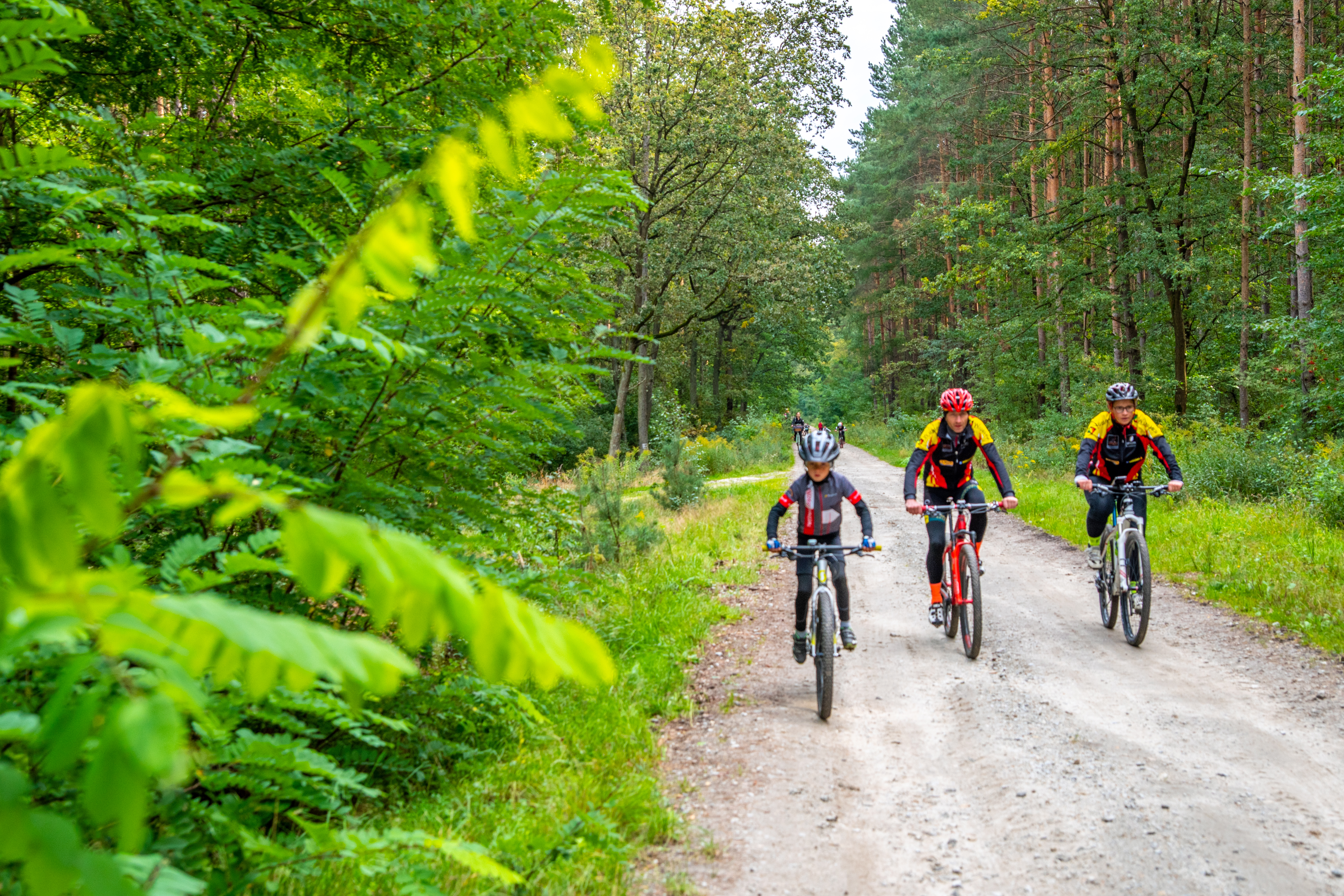
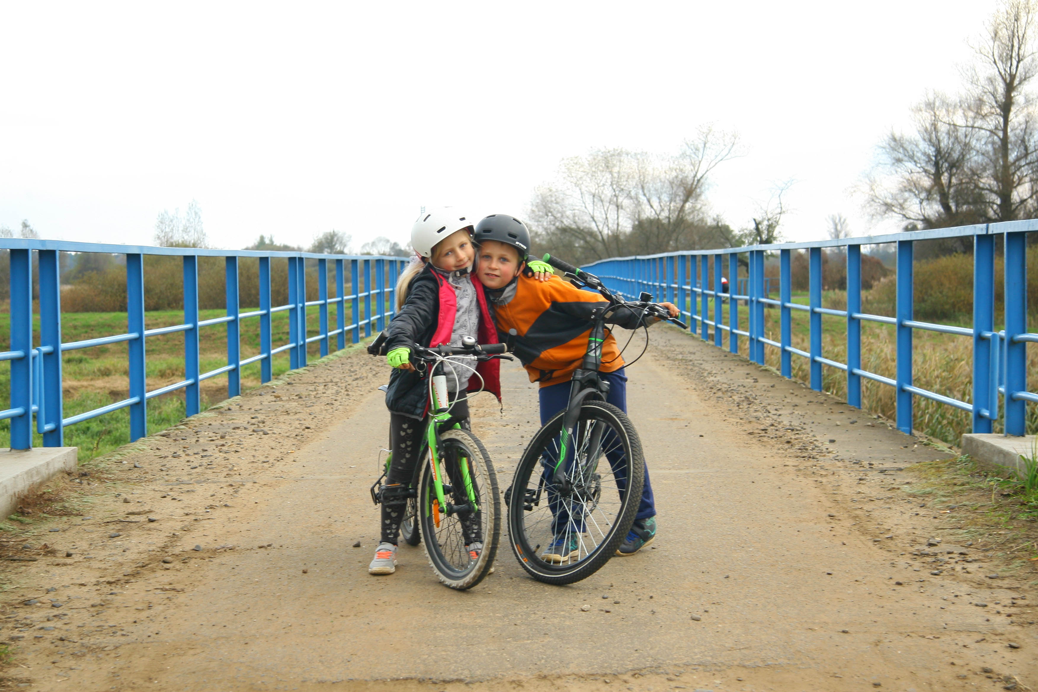
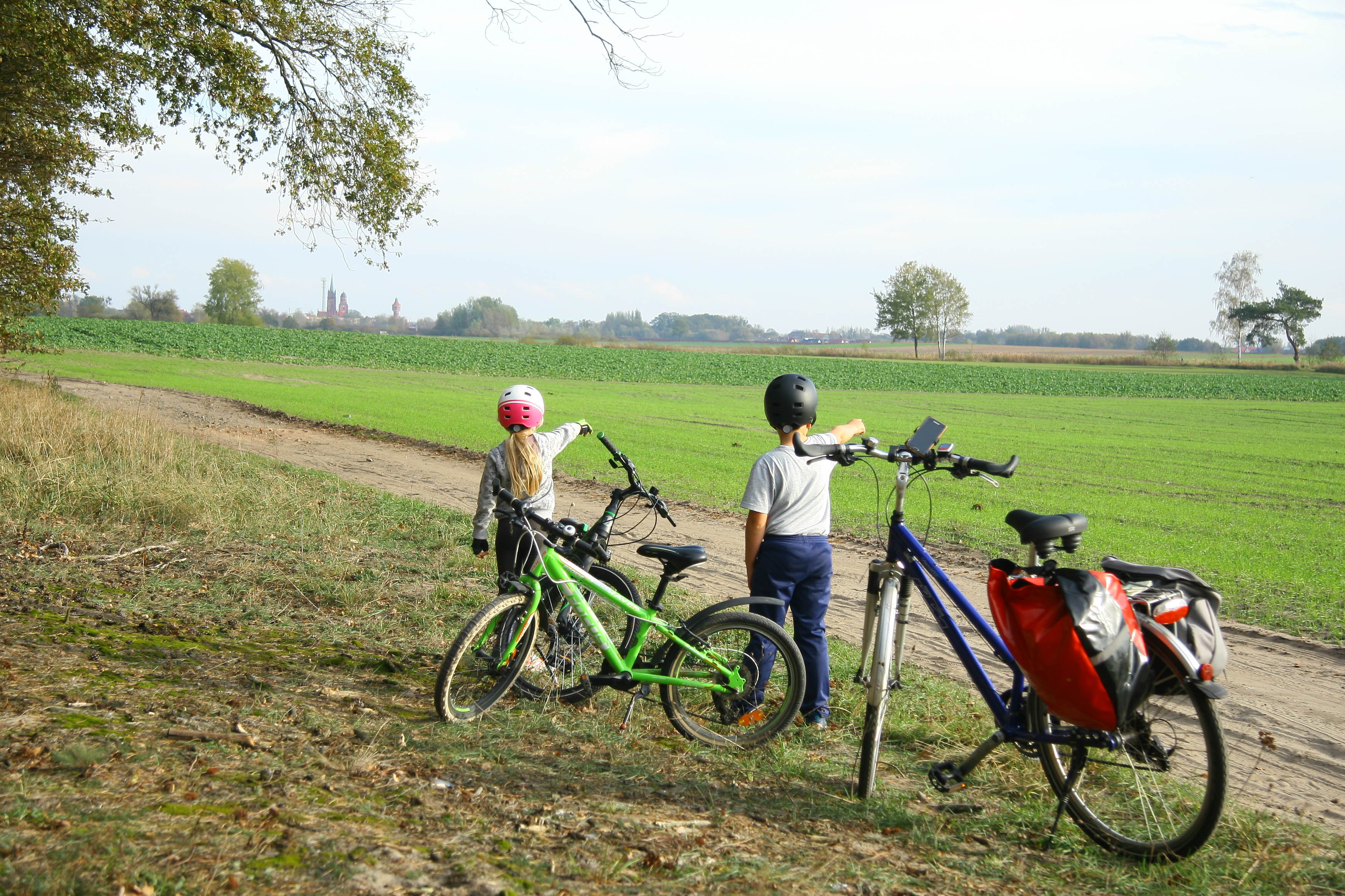
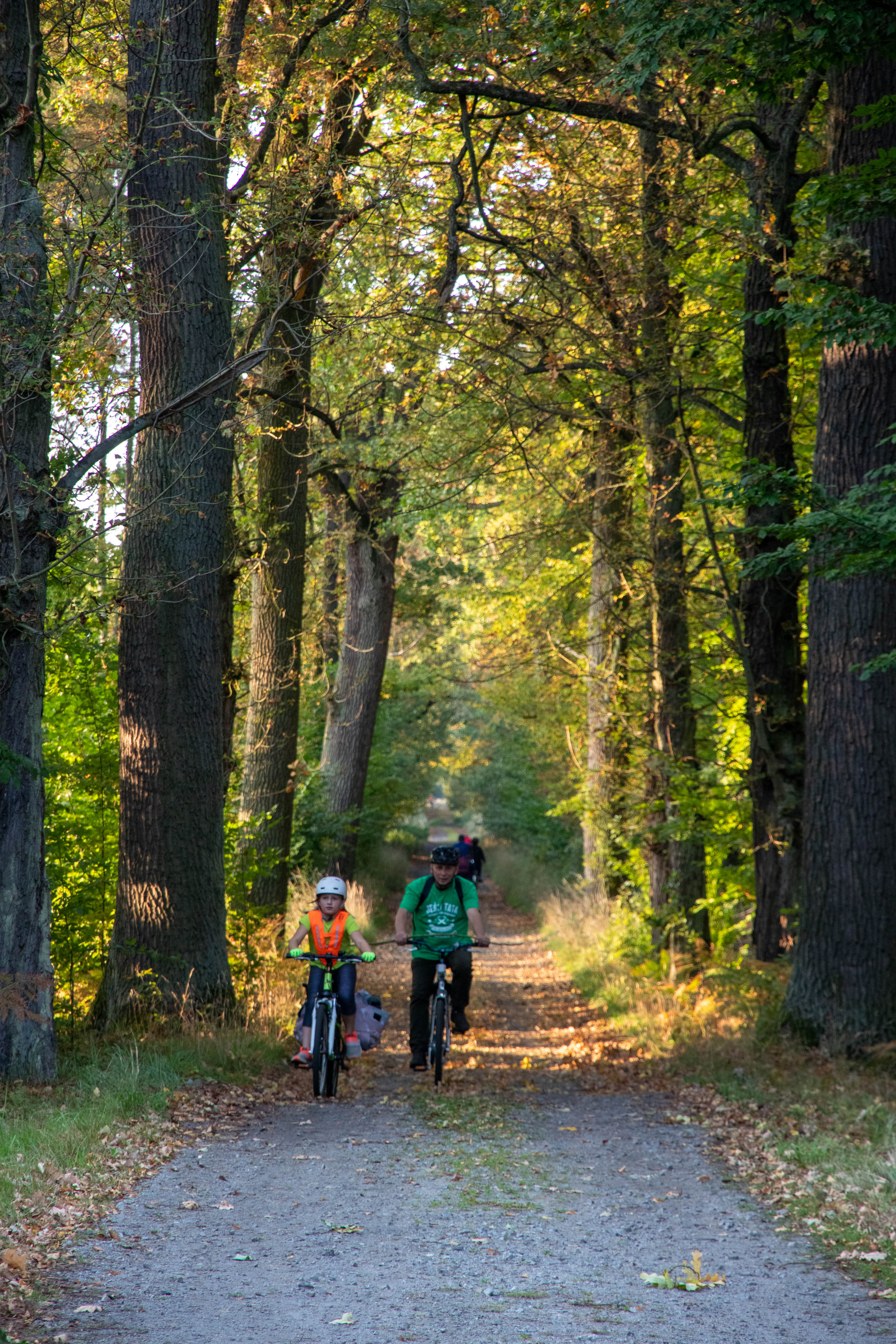
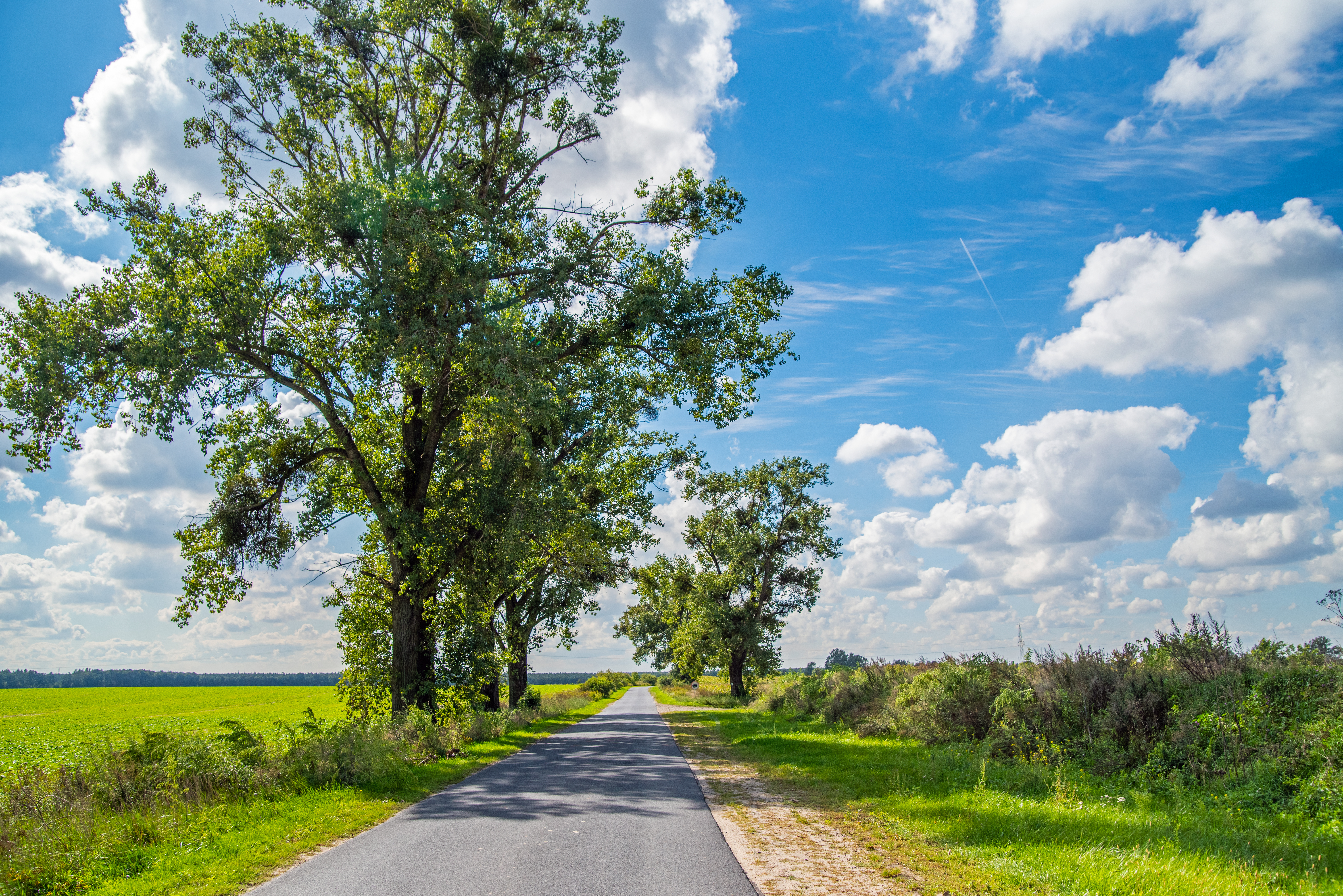
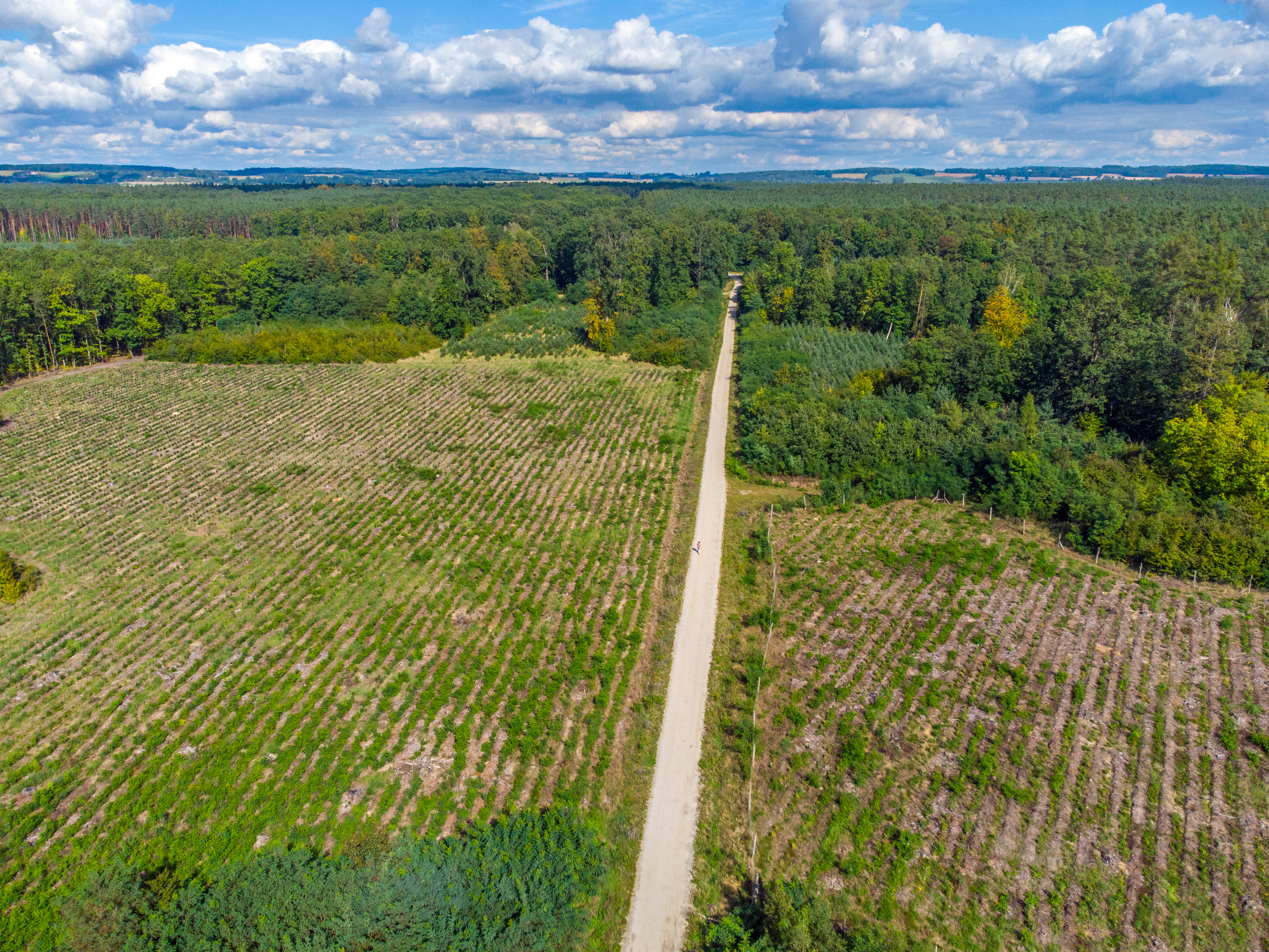
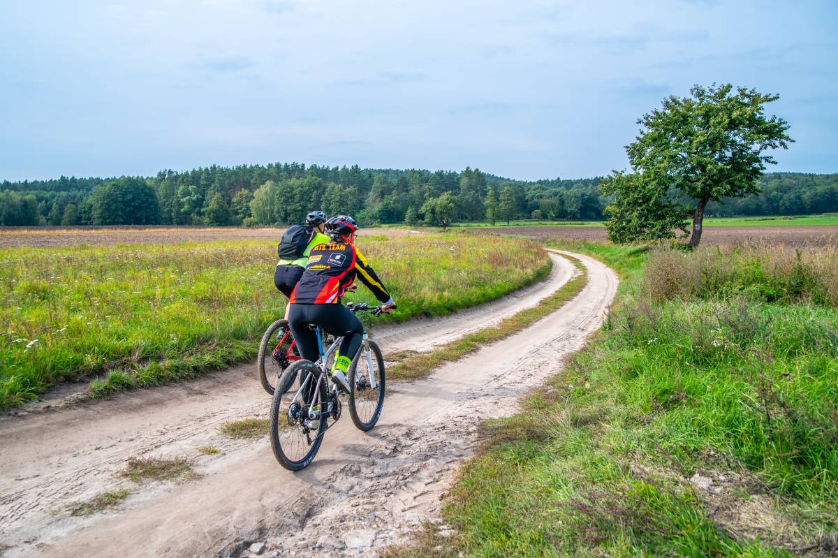
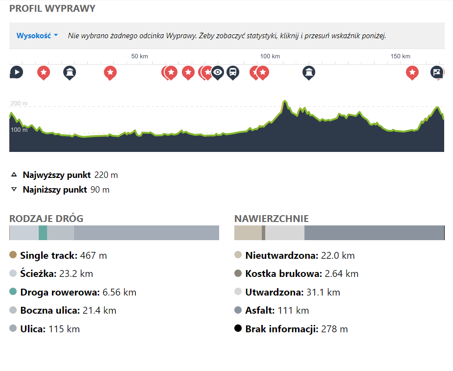
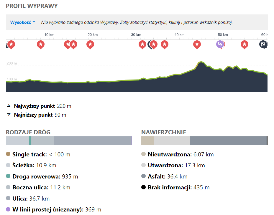
The Trzebnica Cycling Loop, also known as the Trzebnica Cycling Ring or the cycle route around the Trzebnica Poviat, was designed in 2003 and is marked in red in the field. It was the first typical cycle route, running through all the communes of the Trzebnica Poviat, i.e. Trzebnica, Oborniki Śląskie, Prusice, Żmigród, Zawonia and Wisznia Mała, around the Trzebnickie Hills. Only in the commune of Żmigród do we enter the Barycz Valley for a moment. This is the longest cycling route in the Lower Silesian Cycling Land, covering almost 170 km. It leads mainly along asphalt roads, with occasional dirt roads, where you need to be prepared for sand or mud. Only in the vicinity of Żmigród do we ride on the flat, the rest of the route is a lot of uphill. For the average cyclist, who additionally wants to visit the surroundings, the trail is too long to ride it in a day or two. Therefore, it is best to devote a longer stay to the Trzebnica loop, dividing the entire route into min. It is therefore best to dedicate a longer stay to the Trzebnica Loop, dividing the entire route into at least 3 sections, allowing for a ride, rest and sightseeing. Below we have described a proposal for a 3-day trip, adjusting the start and finish in a town with a railway station, and ending days I and II in a town where you can find accommodation.
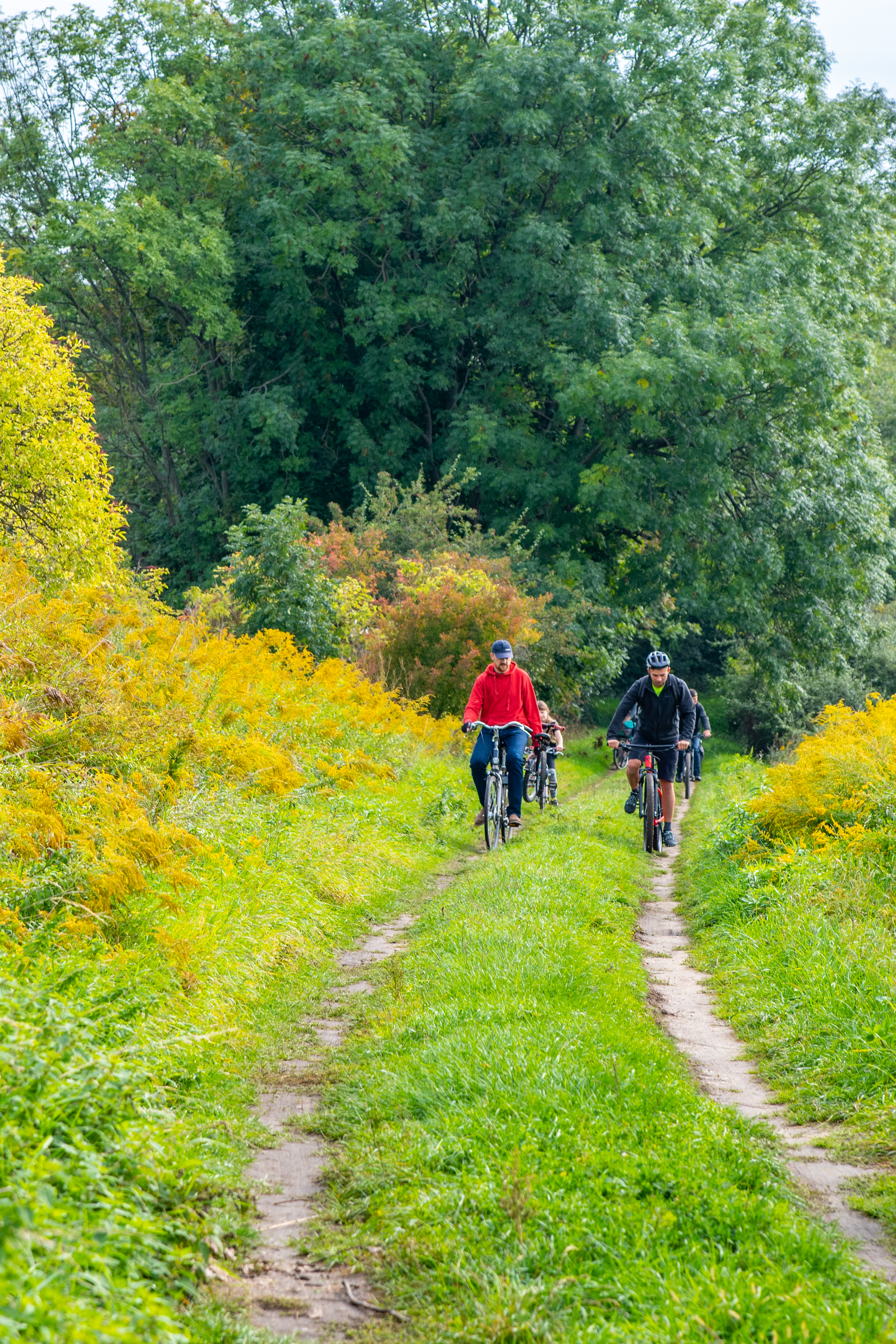
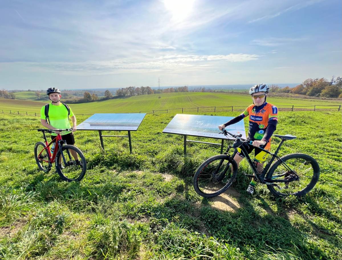
The Trzebnica Cycle Loop is half flat, half 'mountainous'. Photo: Magdalena Puto
The first section leads practically on flat ground. On the second day, we have climbs at the end of the route, between Kuźniczysko and Łozina. On the third day, we climb at the beginning and at the end. This section is the most demanding in terms of fitness, but it is the shortest. When planning the trip, it is also worth considering the option of riding in the opposite direction, so that the most difficult stages are done at the beginning. Undoubtedly, however, the entire loop is long and demanding. It is a long and difficult route, recommended for cyclists in very good condition.
In addition, outside the Barycz Valley (around Żmigród, Ruda Sułowska and Ruda Żmigrodzka), there is practically no gastronomy on the route, so it is worth bearing this in mind when packing provisions for the route.
HEIGHT PROFILE of the entire route:
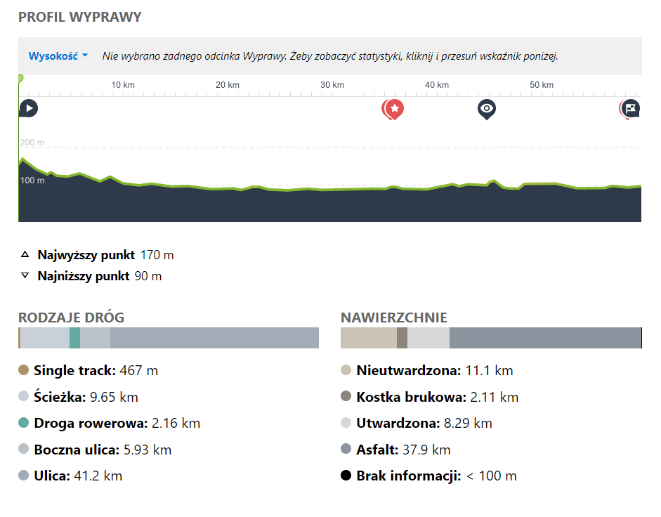
1. DAY: Osola - Ruda Sułowska | 61 km
Route: Osola – Bagno – Piotrowice – Kędzie – Karnice – Żmigród – Gatka – Olsza – Grabówka – Ruda Sułowska
We have planned the route to start in a town that can be conveniently reached by train between Wrocław and Rawicz or Poznań. From Osola the route leads along good asphalt roads, with little traffic. Along the way we pass forests, holiday villages, villages with interesting rural architecture (post-German) and architectural pearls, such as in Bagno (a baroque palace housing the Salvatorian monastery) or in Piotrowice (an early baroque, five-storey palace with a richly decorated facade). Slowly we enter the agricultural, deforested Żmigród Basin. In the village of Kędzie we reach the lowest point of the trail. Here, the bridge over the Barycz River and a nearby, although hardly visible settlement of the Lusatian culture (only the earthen rampart has been preserved) are noteworthy. Karnice is home to a well-known vegetable processing plant, the so-called Sznajder Pickles. On the route, we also pass the town of Żmigród, which has so much to offer that it is good to make a longer stop here and plan to visit, for example, the Palace and Park Complex with a brick tower from the 17th century. Żmigród (German: Trachenberg) was the seat of an independent barony ruled by the Kurzbachs, the Schaffgotschs and finally the Hatzfeldts from 1492. And it was the latter who contributed most to the development of the pond fishery and the town's infrastructure. Prince Hermann Hatzfeldt served as supra-president of Silesia, and Żmigród was his suburban residence where he liked to stay. It is to him that Wrocław (Breslau) owes its greatest prosperity. H. Hatzfeldt was also the initiator of the Żmigród-Milicz district narrow-gauge railway, the route of which leads today on the popular cycle path from Trzebnica to Milicz. From Żmigród the red trail leads through Gatka, Wilkowo, Olsza and Grabówka to Ruda Sułowska, where we end this section.
The route through the forest near Gatka is charming and desolate, but be prepared for sands through the forest. The final section, from Olsza to Ruda Sułowska, leads along one of the most beautiful cycle routes through forests, small villages with traditional buildings and among ponds. The views are spectacular.
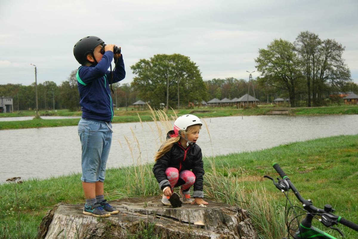
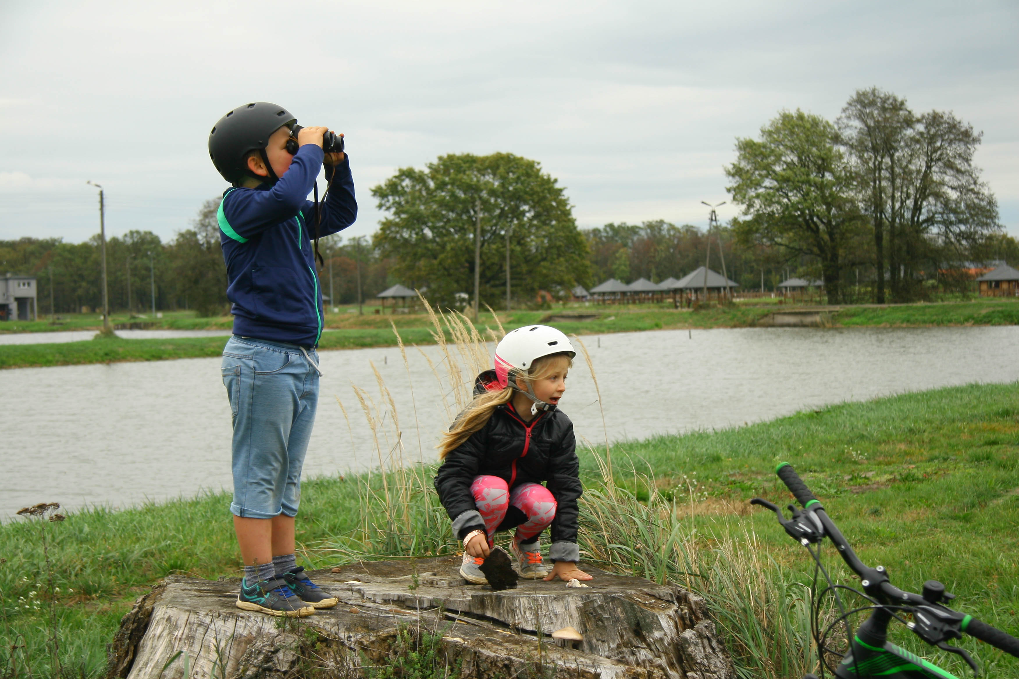
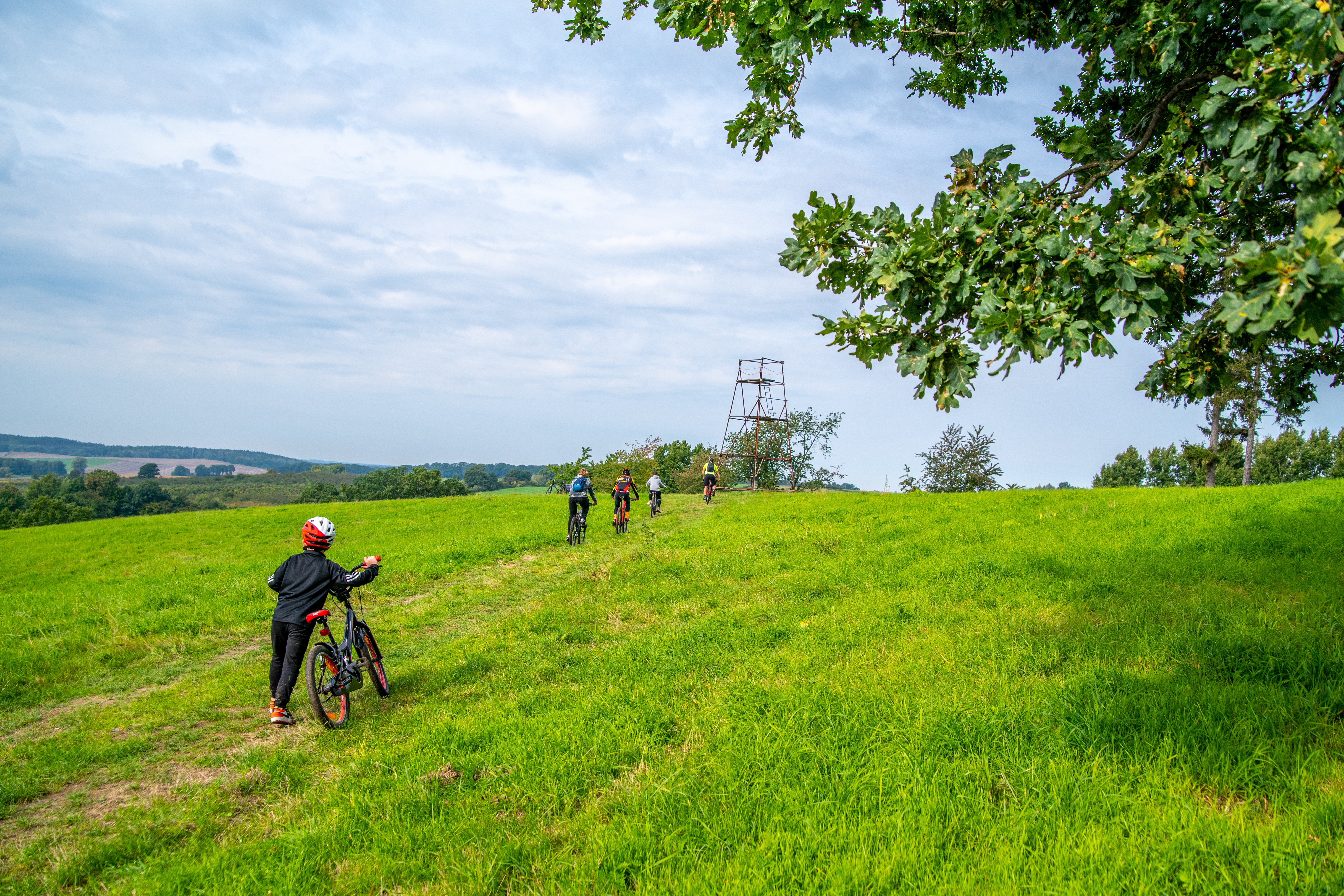
The area around Grabówka and Ruda Sułowska is ideal for trips with children and birdwatching, photo by Marta Kamińska
HEIGHT PROFILE OF SECTION I:
WHAT'S WORTH SEEING:
Bagno | a Baroque palace, currently (since 1930) the seat of the Salvatorian monastery; a tour of the building is possible by telephone appointment.
Piotrowice | an early Baroque five-storey palace with rich stucco decoration on the facade. The building has a private owner and can only be viewed from the street.
Kędzie | a bridge over the Barycz River, just before the bridge on the right the remains of a settlement from the Lusatian culture period (only the earthen rampart is preserved, hardly visible).
Karnice | Michał Sznajder farm - pickled vegetables from the Barycz Valley - possibility to visit the farm and shop by appointment.
Żmigród | Palace and Park Complex and a brick tower from the 17th century. The palace was home to the Hatzfeld family until the Second World War. Around the preserved ruins there is a beautiful French-style park. There are ponds and shelters in the park; admission to the park is free, a tour of the tower is charged. Tourist information is located in the tower.
Gatka | former German guard buildings on the German-Polish border from 1920-1939.
Wilkowo | historic forester's lodge.
Olsza | a village on the border with Greater Poland; in 1920-1939 it was the border between the German Reich and Poland; the border ran through Biała Kale.
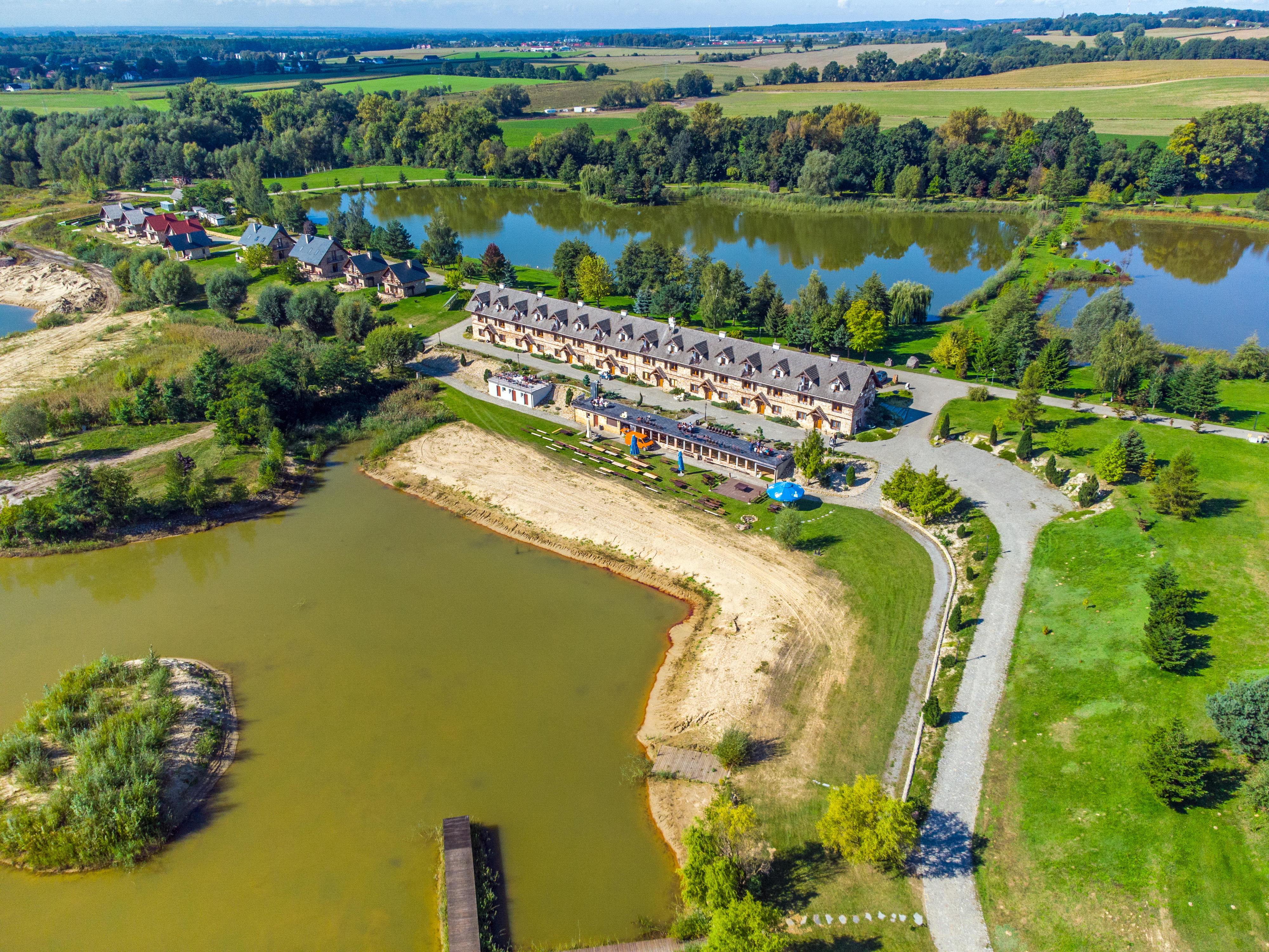
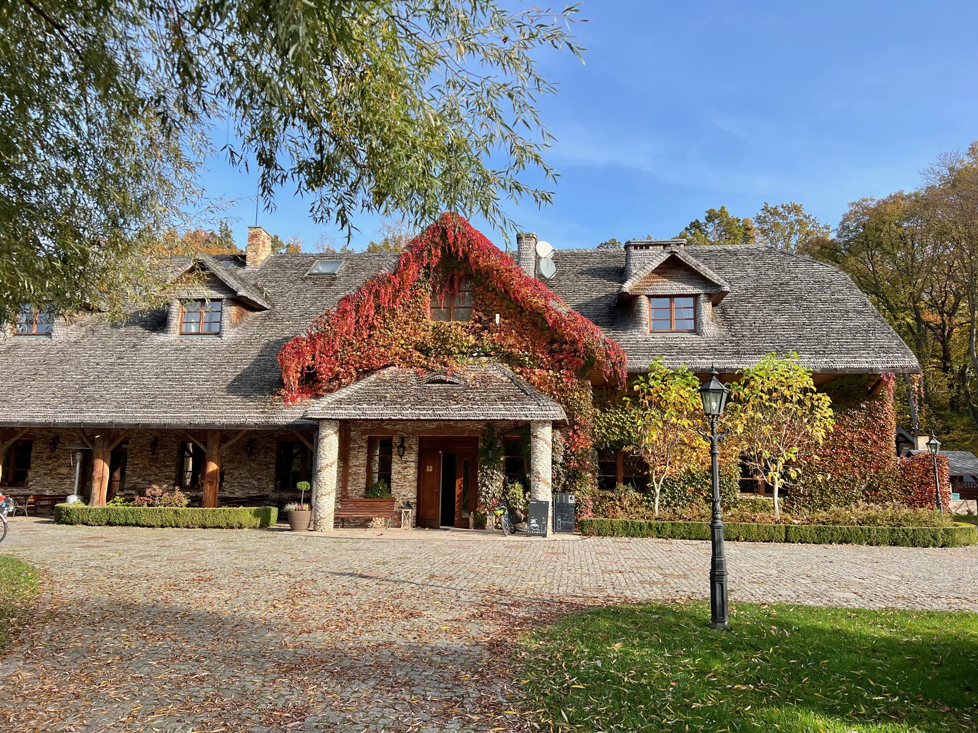
Ruda Sułowska | a fishing settlement, currently the seat of the Stawy Milickie SA company; in the village there is the Naturum Education and Tourism Centre with a hotel, restaurant, Barycz Valley fishing museum, playground and sensory path. At the hotel you can book to take part in a photosafari (group tours by bicycle or melex to the ornithological reserve; registration required: 71/759 08 88).
WHERE TO EAT:
Osolin | Pizzeria pod Papugami
Żmigród | Pan Japa Street Food | Pychotka | Żmigrodzianka | the Castle Restaurant in the Żmigród Palace and Park Complex
Grabówka | Fish Restaurant "Pod Dębami" (Thurs-Thurs; seasonal)
Ruda Sułowska | Gospoda 8 Ryb | Zajazd "Głowaczówka".
ACCOMODATION:
Ruda Sułowska | agritourism "Głowaczówka" | hotel Naturum
2. DAY: Ruda Sułowska - Łozina | 58 km
Route: Ruda Sułowska – Ruda Żmigrodzka – Jamnik – Osiek – Bukołowo – Gąski – Przeborów – Ujeździec – Biedaszków Wielki – Kuźniczysko – Budczyce – Zawonia – Węgrów – Boleścin – Łozina
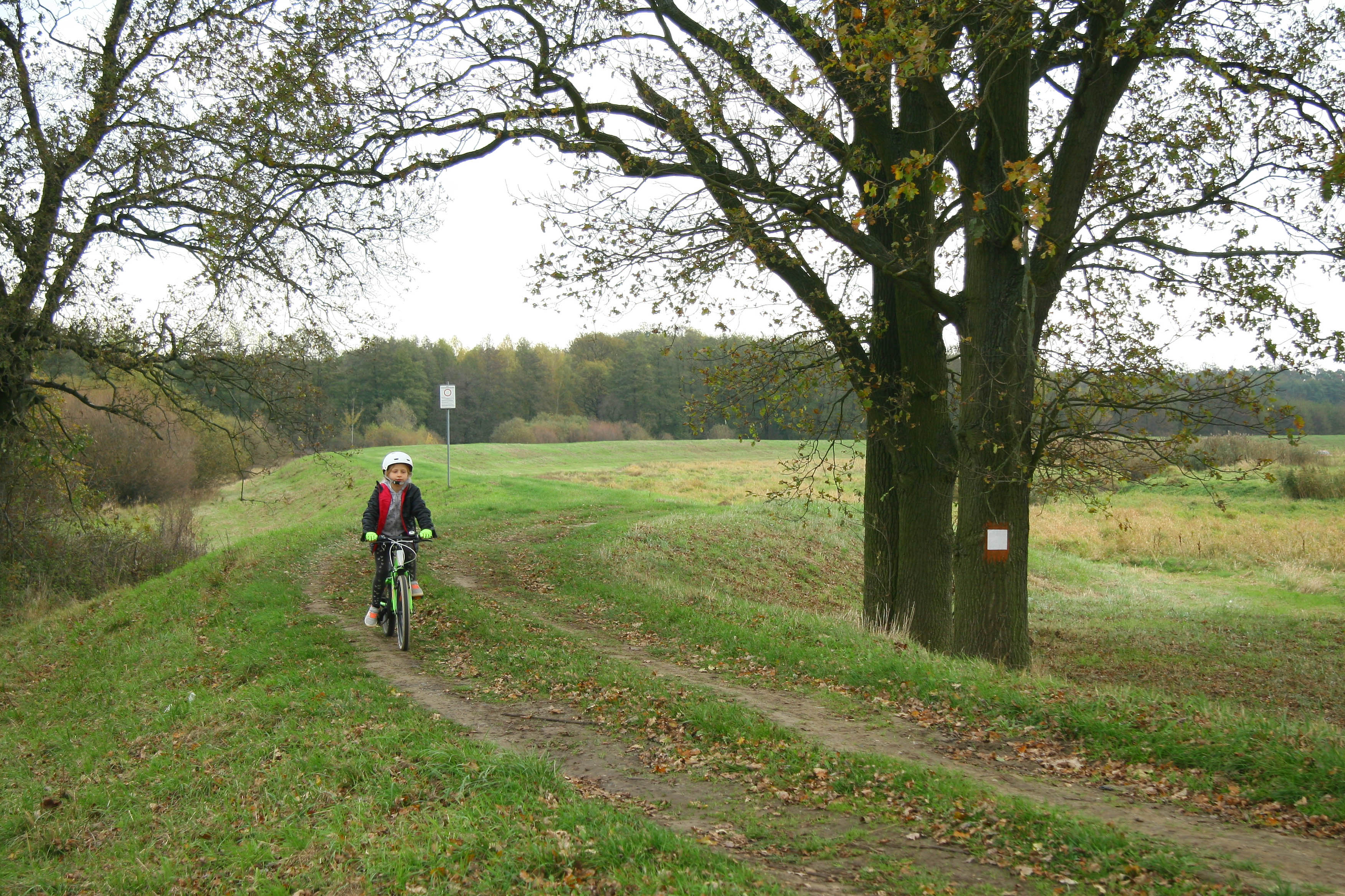
The second section of the Trzebnica Cycling Loop leads through charming corners of the Barycz Valley from Ruda Sułowska, through Ruda Żmigrodzka, Jamnik, to Osiek. Then we enter the vast forests stretching north from Ujeździec and Skoroszów, which until the 18th century, when they belonged to the Cistercians from Trzebnica, were called the Trzebnicka Forest. This section of the trail leads along the edge of the Milicz forests, through flat areas, on low-traffic asphalt roads. The last stage of this section, from Kuźniczysko to Łozina, is the most "mountainous" part of the Trzebnica Cycling Loop. The trail leaves the flat areas of Kotlina Żmigrodzka and begins to slowly ascend into the region of the Trzebnickie Hills (also known as the Cat Mountains). After a tiring ascent from Zawoja, you will reach the maximum altitude in Cielętniki (approx. 220 m). However, after Skarszyn, we enter the Silesian Lowlands region. The trail runs along low-traffic roads almost the entire length of the route. The exception is the section behind Skarszyn. You can bypass it by heading from Skarszyn straight along the road to Łozina, bypassing Bierzyce.
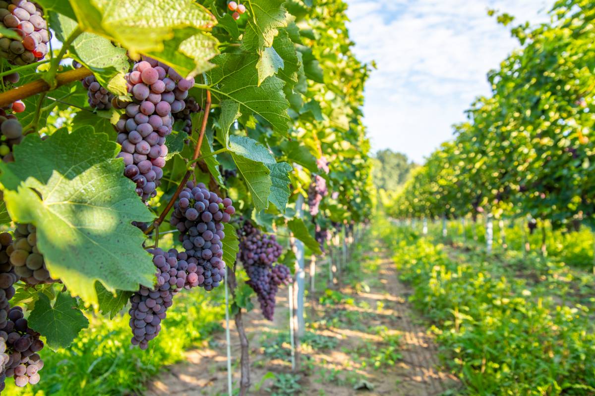
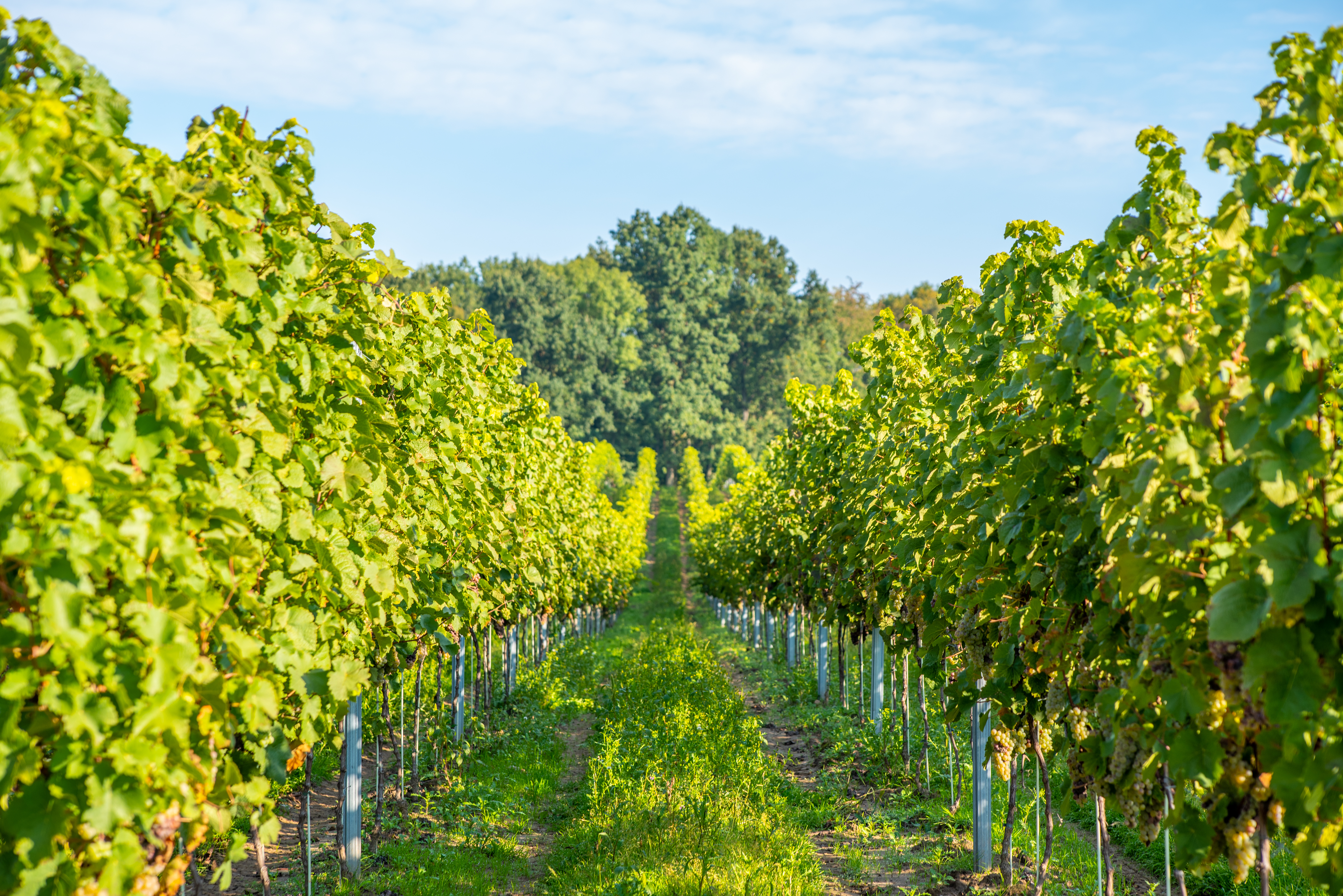
Vineyards are increasingly common in the landscape of the Trzebnica Hills, photo: Magdalena Puto
HEIGHT PROFILE OF SECTION II:
WHAT TO SEE:
The Niezgoda Alder Forest Reserve | here you can see the most primeval, swampy part of the Barycz Valley and imagine what the whole valley looked like before the first ponds were built. From Niezgoda to Ruda Żmigrodzka, a beautiful asphalt road runs through the middle of Olszyny (a vast swampy complex of alder forests) and the alders "on stilts" can be admired from the road.
Ruda Żmigrodzka | a village on the Barycz River, which can be a starting point to the western part of the Milicz Ponds. The ponds surrounding the village were established in the 16th century in the place of former ore excavations. In Ruda Żmigrodzka there is the well-known Karczma Rybna (Fish Inn), next to the "Ruda Żmigrodzka" fish farm (to get there, you have to turn right at the crossroads, i.e. in the opposite direction to the trail). Further into the village, behind the village hall, is the Ruda pond, with a good view of the pond where, in spring, black-headed gulls (2 to 4 thousand) and common terns (up to 10 pairs) regularly set up colonies.
Jamnik | village by the ponds. A beautiful view of the bird colonies on the Jamnik Dolny pond.
Osiek | on the road to Powidzko, 100 m behind the buildings, on the right side, there is a stone reconciliation cross. Osiek is an important intersection of cycling routes, here you can turn left to the Książęca village and follow the route of the former narrow-gauge railway to Milicz, or take the cycling route towards Powidzko to reach Żmigród or Prusice.
Gąski | Staw Sieczkowski, a viewing point for a breeding pond with an area of 85 ha. The track along which the cycling route leads is an oak-leaf avenue leading to the village of Prusice. In the village of Gąski grows an acacia robinia - a natural monument.
Przeborów | the hamlet was a mill settlement
Ujeździec Wielki | at the Trzebnica - Sułów junction stands an oak tree - a natural monument.
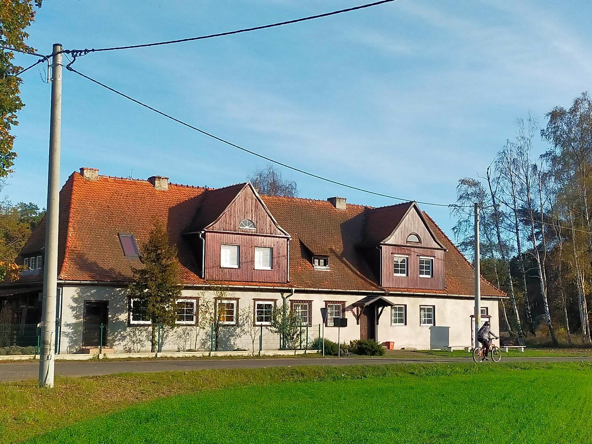
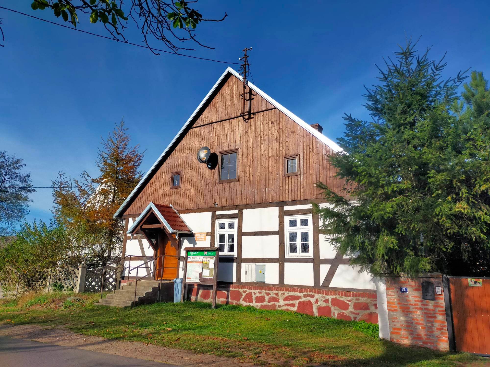
Kuźniczysko | the name of the village alludes to the medieval method of extracting bog iron ore from the surrounding meadows and smelting it. In the centre of the village there is a dilapidated Evangelical church from 1764. In St. Jadwiga Street there is a former watermill from 1785, now a museum with a Chamber of the Tradition of Milling.
Cielętniki | a former holiday village, located at an altitude of 210-222 m. Cielętnik hill (236 m) with a viewpoint, Michlewicz Vineyard (a Cyclist Friendly Place).
Miłonowice | manor complex: manor from 1850, half-timbered barn from 1869, granary from the end of the 19th century, cowshed, outbuildings and farm buildings from the 19th/20th centuries.
Kopiec | manor complex with historic park: manor from the early 19th century with a buttress and outbuildings, granary from the early 20th century.
Węgrów | former grange from the end of the 19th century
Krakowiany | remains of a former grange with park and baroque lamus.
Boleścin | neo-Renaissance palace.
Skarszyn | in the 18th century it was a fashionable place of recreation for the nobility, aristocracy and rich bourgeoisie. The spa and guest houses were located under the Winna Góra, where a spa park with an observation deck was established. A 1.5 m high reconciliation (penitential) cross stands by the road to Lozina. The forest growing on the eastern slopes of the valley on the eastern side of the village is protected as the "Skarszyn Beech Forest".
Łozina | THE END OF THE STREET. Possibility to stay overnight at the petrol station in Łozina. In the centre of the village the Sanctuary of Our Lady of Sorrows from the second half of the 18th century as a Baroque Evangelical church with a wooden tower. In the interior, there is a miraculous painting of the Virgin Mary of Sorrows, brought by resettlers in 1945 from Tuligły near Lviv.
WHERE TO EAT:
Ruda Żmigrodzka | Fish tavern
Łozina | Es8Bar (near the petrol station, exit from the S8)
ACCOMMODATION:
Łozina | accommodation near the petrol station
3. DAY: Łozina - Osola | 47 km
Route: Łozina – Tokary – Siedlec – Pierwoszów – Wysoki Kościół – Piotrkowiczki – Strzeszów – Szewce – Uraz – Rościsławice – Wielka Lipa – Osola
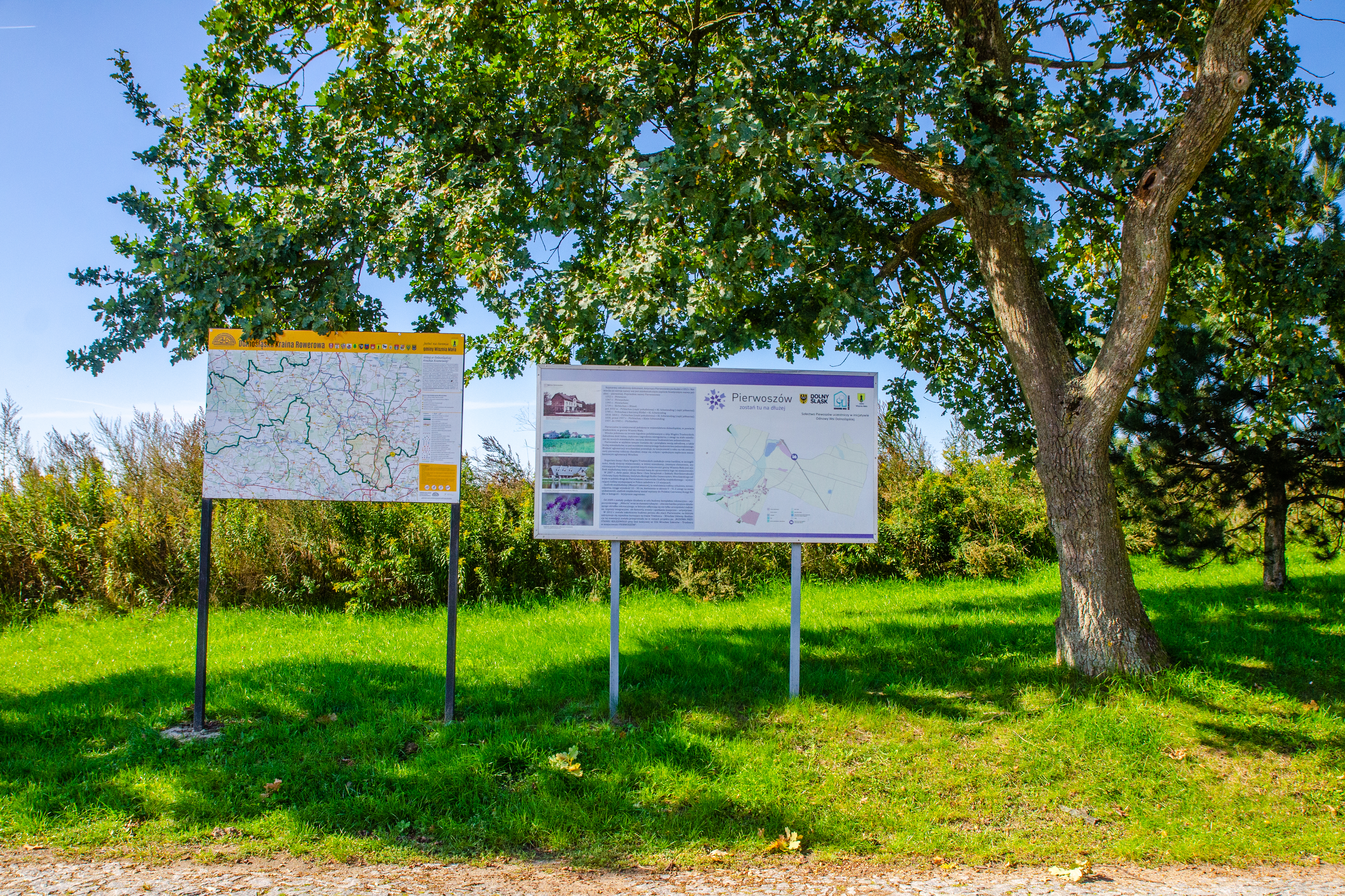
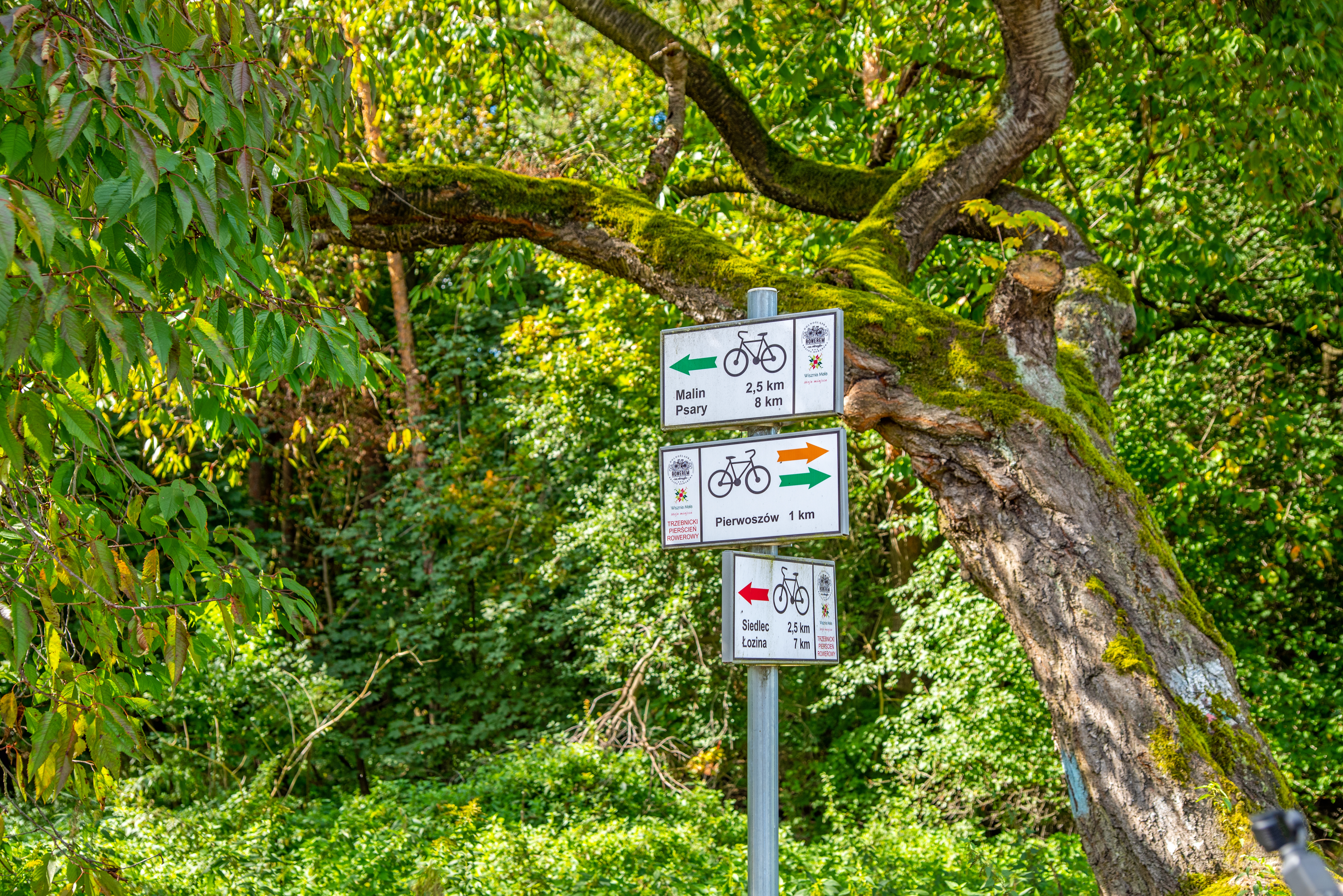
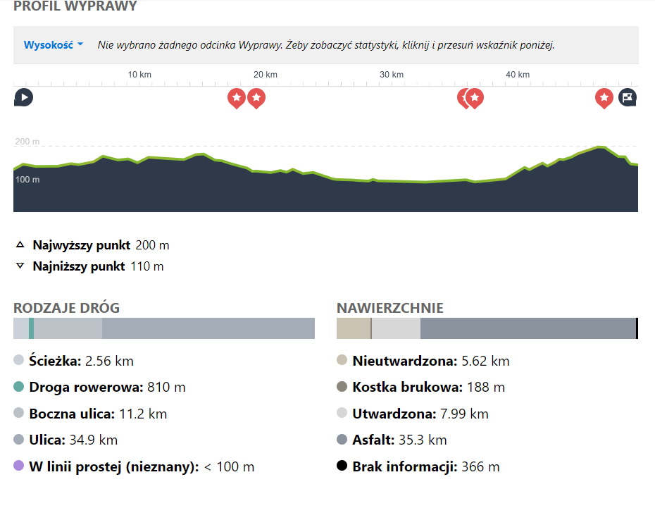
The last section is the shortest, but also the most demanding, leading along the southern edge of the Trzebnickie Hills. There are numerous monuments along the trail - rural gothic churches and, visible from afar, the neo-gothic church in Wysoki Kościele (known from the film "Emergency exit" starring Bożena Dykiel). The trail leads mainly along minor and medium traffic roads, only a short section between Siedlce and Pierwoszów leads along a forest road, and between Piotrkowiczki and Strzeszów along a paved dirt road. The route avoids Wiszniak, the highest hill in the vicinity of Piotrkowiczki. We encourage you to deviate from the trail and ascend this hill, as the view from Wiszniak over the area is amazing. In good weather, you can even see Sněžka. And at the very top, a shelter and a place for a bonfire are also waiting for those who persevere. From Szewce the route leads through Paniowice, and Kotowice, to Uraz along the Odra valley. Further on, the route leads towards the wooded Trzebnickie Hills. which you will cross near Wielka Lipa at an altitude of more than 200 metres. On the approx. 5 km section, we will overcome almost 100 m of altitude difference. At the end, however, there is an approx. 2 km long descent to Osola, where the trail ends.
Panorama of the Trzebnickie Hills from Wiszniak near Piotrowiczki, the highest hill in the Wisznia Mała commune, photo: Paweł Kubacki.
HEIGHT PROFILE OF SECTION III:
WHAT TO SEE:
Tokary | the Reconciliation Cross (penitential)
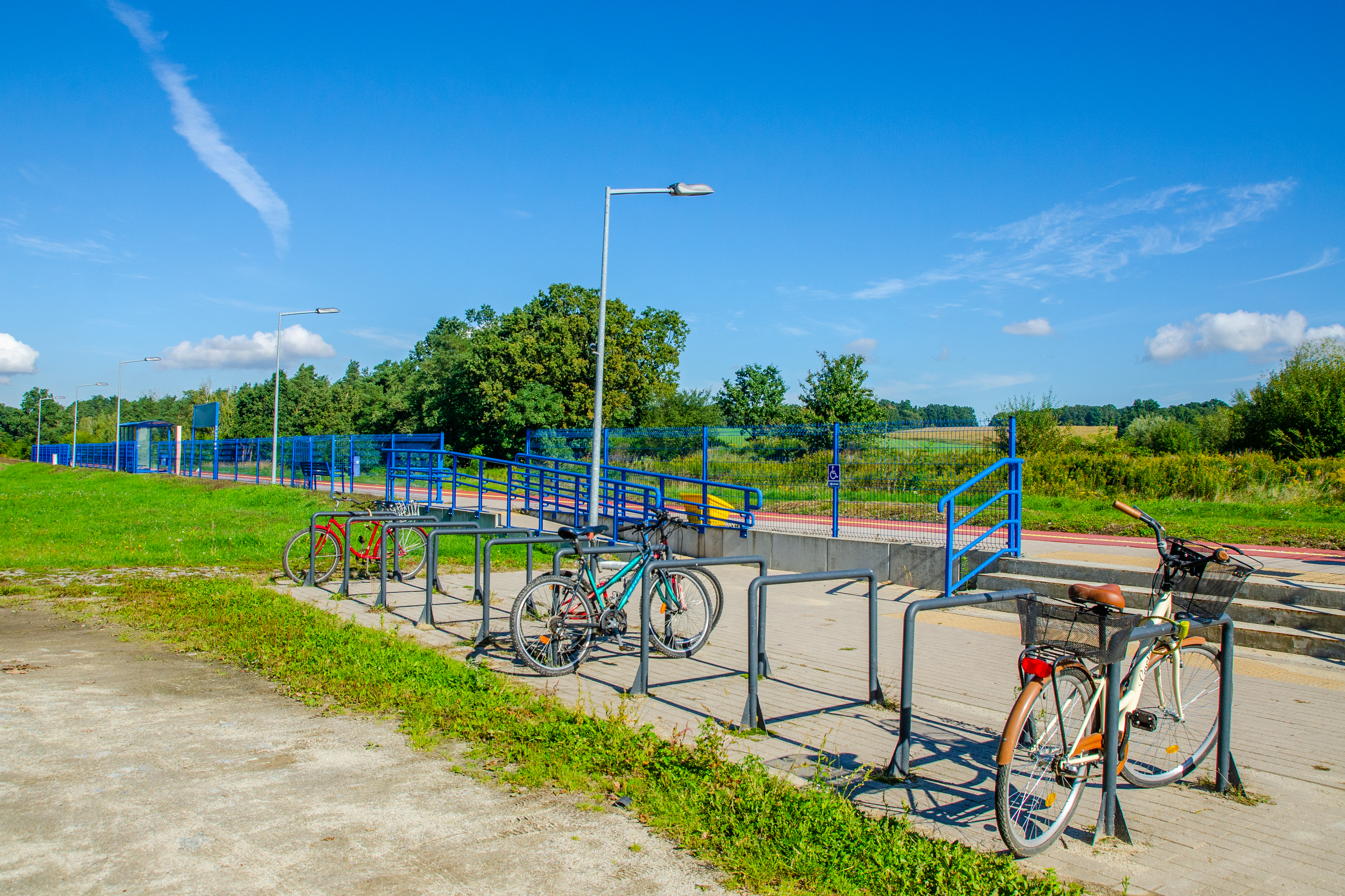
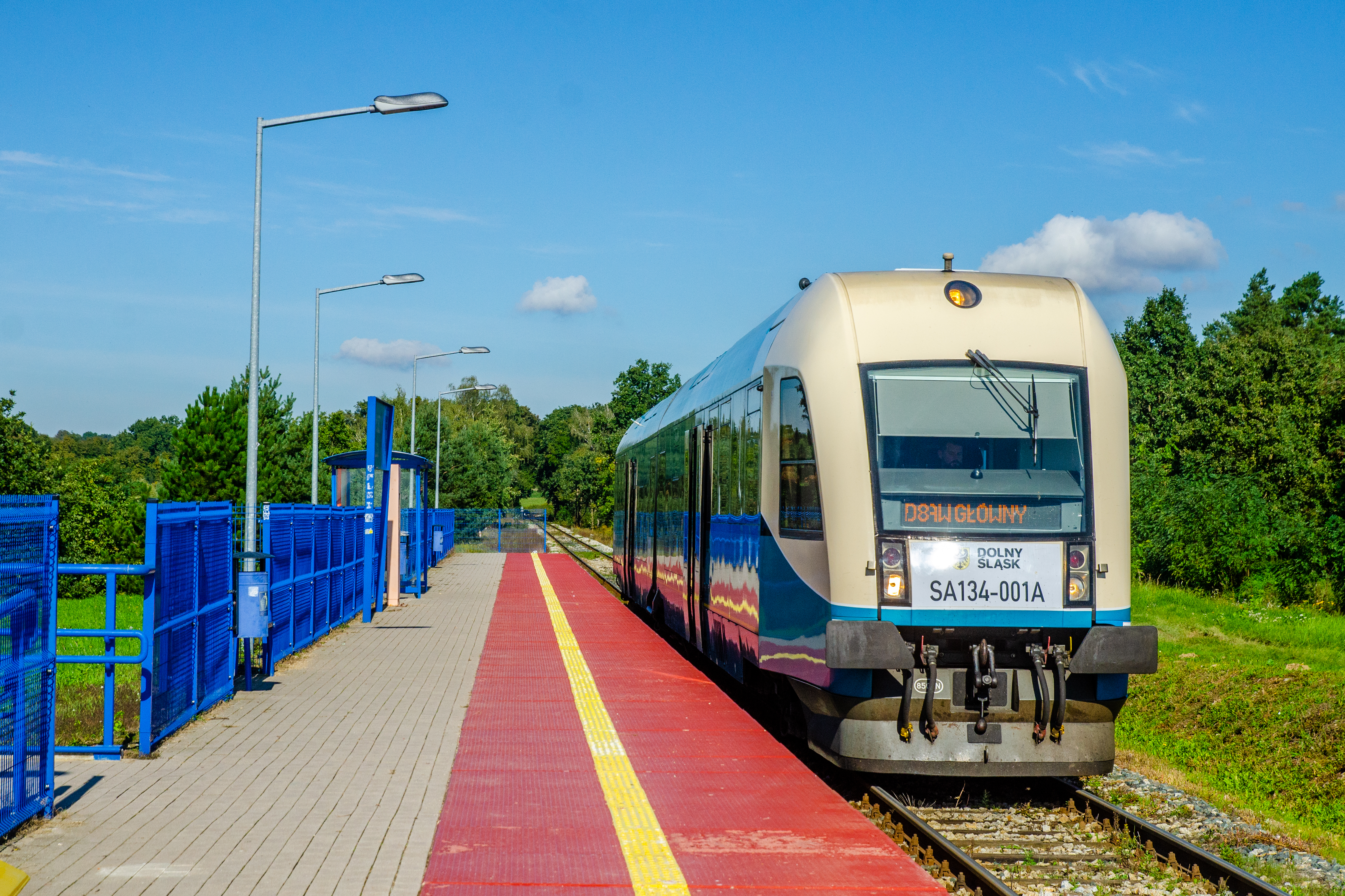
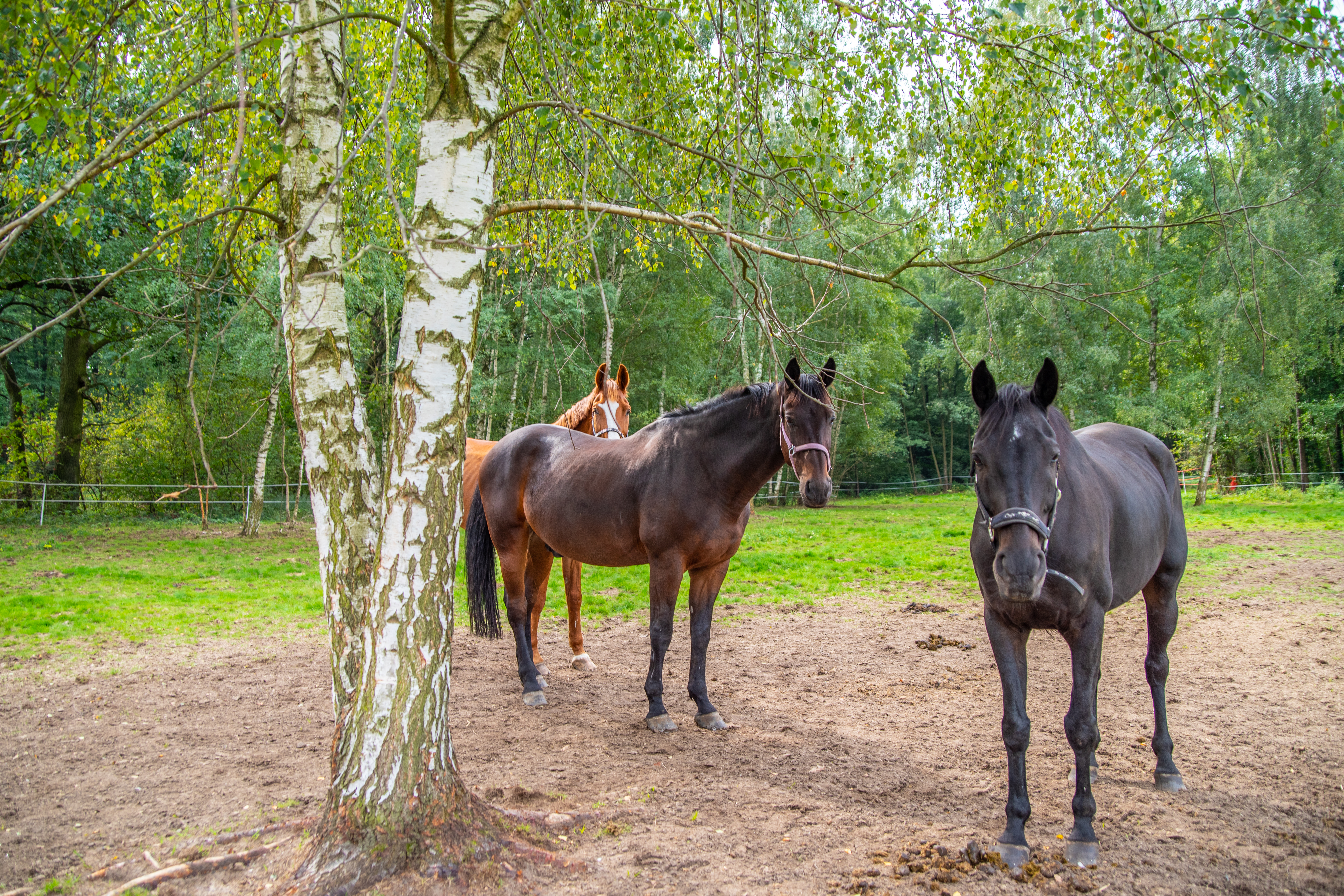
Siedlec | railway station of the Wrocław-Trzebnica rail-bus; horse village (there are numerous stud farms in the village);
Pierwoszów | railway station of the Wrocław-Trzebnica rail-bus; Miłocin Leisure and Hospitality Centre (hotel, restaurant, bathing beach).
Wysoki Kościół | Gothic church known from the wedding scene in the 1982 production of "Emergency exit", with Bożena Dykiel in the leading role.
Piotrkowiczki | Church of the Sacred Heart of Jesus from the early 15th century (later rebuilt), inside the church a number of tombstones from the 17th century. Next to the church there is a wooden belfry with a pole construction from the beginning of the 19th century. At the edge of the village there is Wiszniak Hill (247 m), the highest hill in the commune of Wisznia Mała. The area is ideal for Nordic walking and MTB cycling.
Strzeszów | Gothic church of the Elevation of the Holy Cross from 1374 with furnishings from the 17th century, painted Renaissance ceiling. Next to it a wooden belfry from the beginning of the 19th century. In the eastern part of the village, off the trail, stands the Rehdiger chateau with a naturalistic park with ponds.
Szewce | railway station; Gothic church of St. Anne from ca. 1350, escarped at the corners. The interior houses a Baroque altarpiece and a Renaissance baptistery.
b| marina and harbour town on the Oder River; on offer, among other things, cruises on the Oder, water equipment rental, catering (fish).
Rościsławice | the road leading here leads to the Rościsławice/ Jodłowice Nature Reserve: protected here is an old-growth mixed forest typical of the Trzebnickie Hills.
Wielka Lipa | a neo-Gothic palace from 1899 built by Alfred von Waldenburg-Würben. The romantic building was supposed to emphasise the magnificence of the family descended from the Hohenzollerns.
Bagno | Baroque palace built in 1720-34, since around 1930 the residence has belonged to the Salvatorian Order.
WHERE TO EAT:
Pierwoszów | Karczma Miłocin
Uraz | Uraz Port - tavern, fish and cheese smokehouse, pizzeria.
Want a gpx? email: biuro@dkr.travel.pl
Need help organising a stay for a group? Contact us: biuro@dkr.travel.pl
If you are interested in helping us plan and prepare your group's stay and in being accompanied by a local guide who will tell you about the region's attractions and take you to the most interesting places, please contact us. (Paid offer, please contact us by e-mail without obligation). We provide certified guides, available during the week and at weekends, who also speak English or German.
Download the free
app for
smartphones