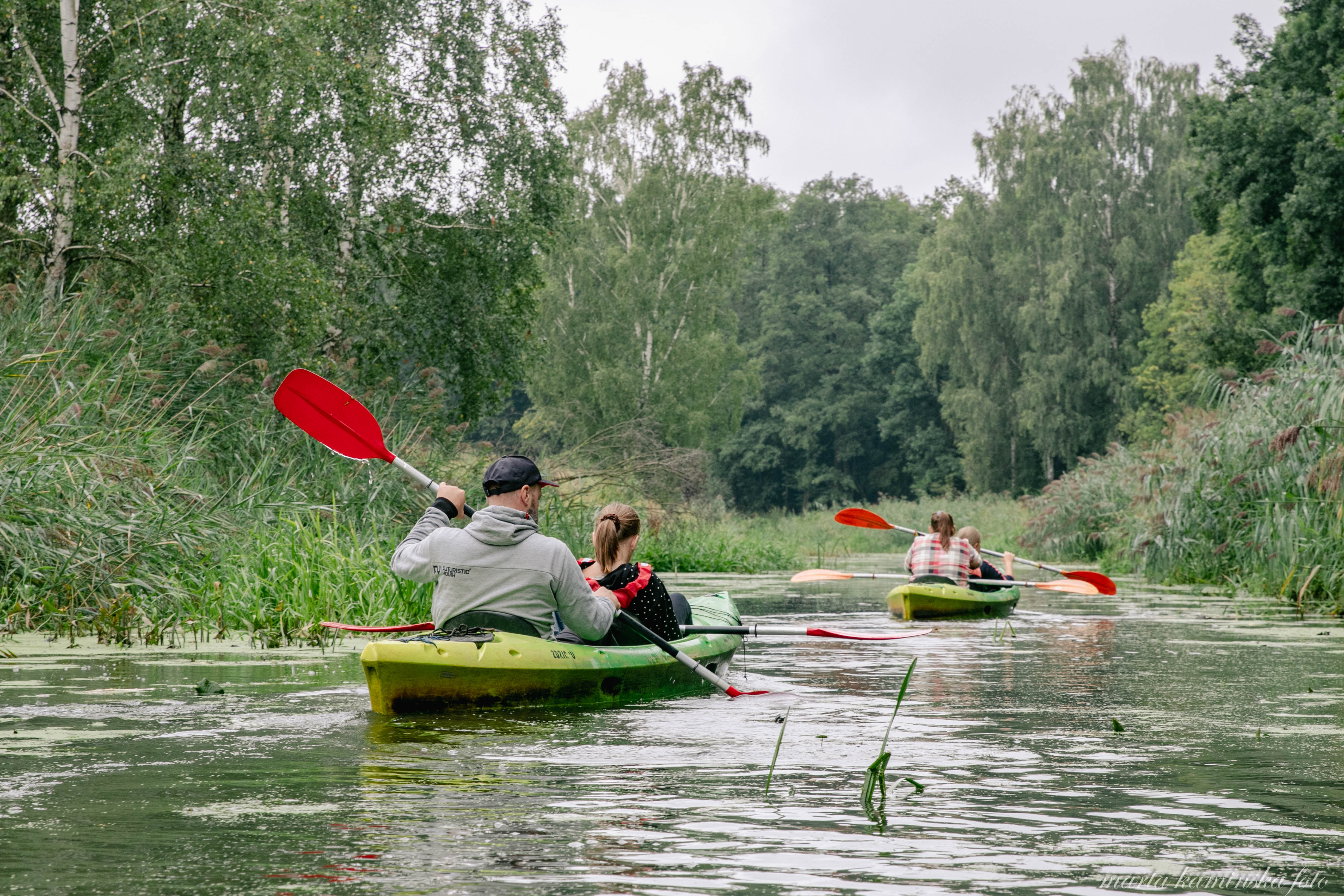
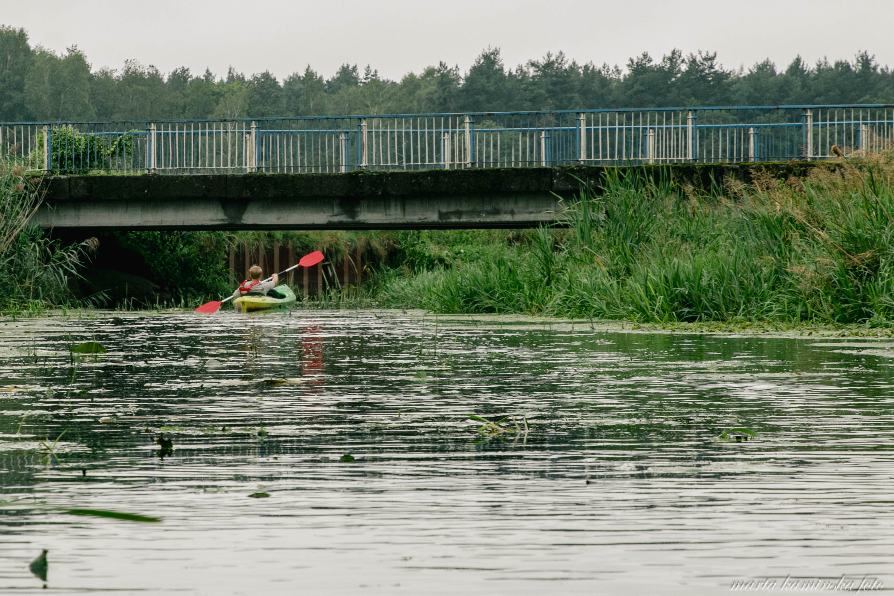
Canoeing is a great complement to a cycling trip!
DKR is situated on two phenomenal rivers: the lazy Barycz - the calmest flowing river in Poland (only 3% gradient) and also the largest right-bank tributary of the Oder, and the majestic Oder. Both rivers and their tributaries are ideal for canoe tourism. The Barycz is excellent for beginners, while the Oder is perfect for advanced paddlers.
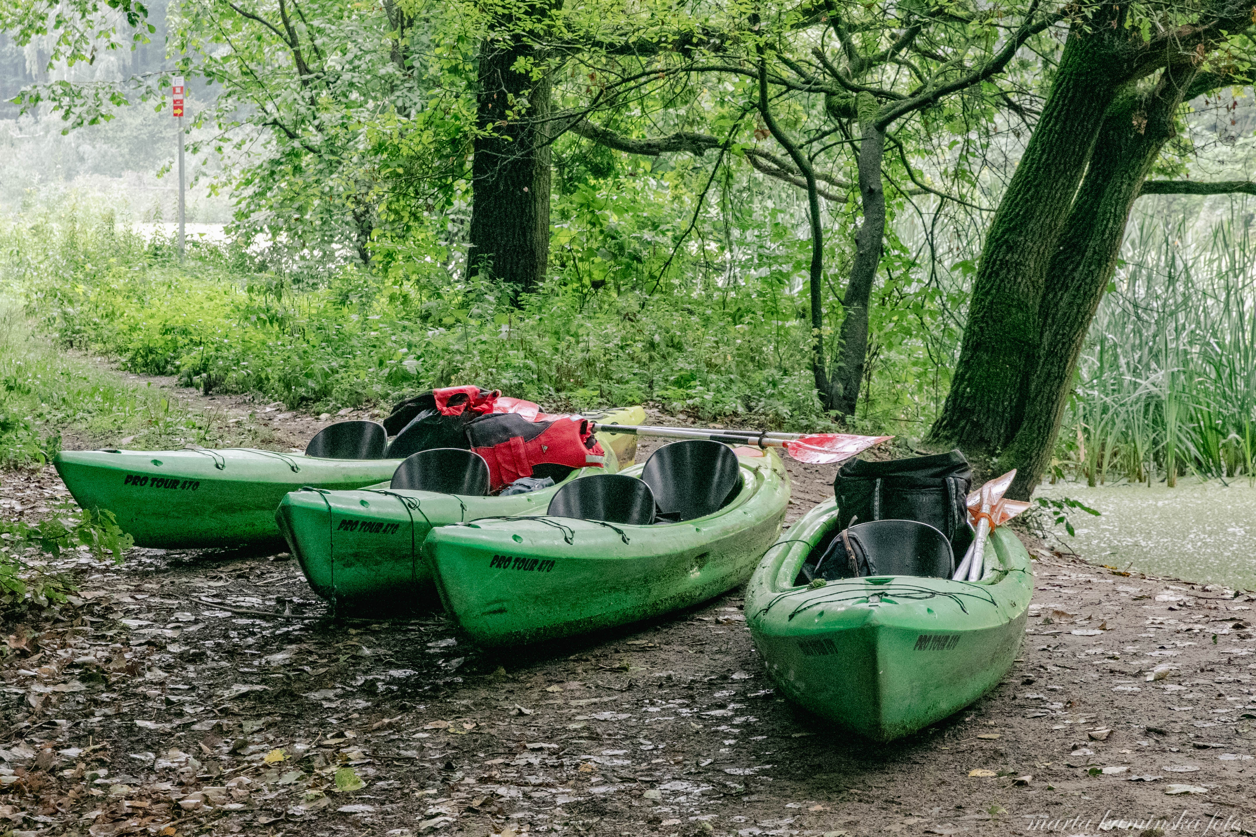
Canoeing trips are a great offer for tourists who value active leisure: they are well suited to be combined with bike rallies. First go canoeing and then switch to bicycles (not the other way round, as it is difficult to go against the current).
If you are interested in this topic, see our offer of canoe rentals, and if you want to combine a trip with a guided bike tour, contact us.
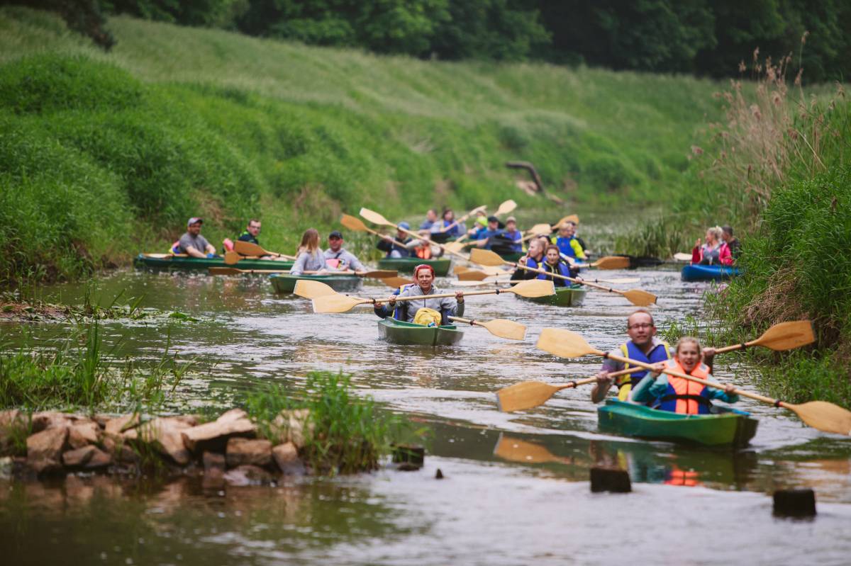
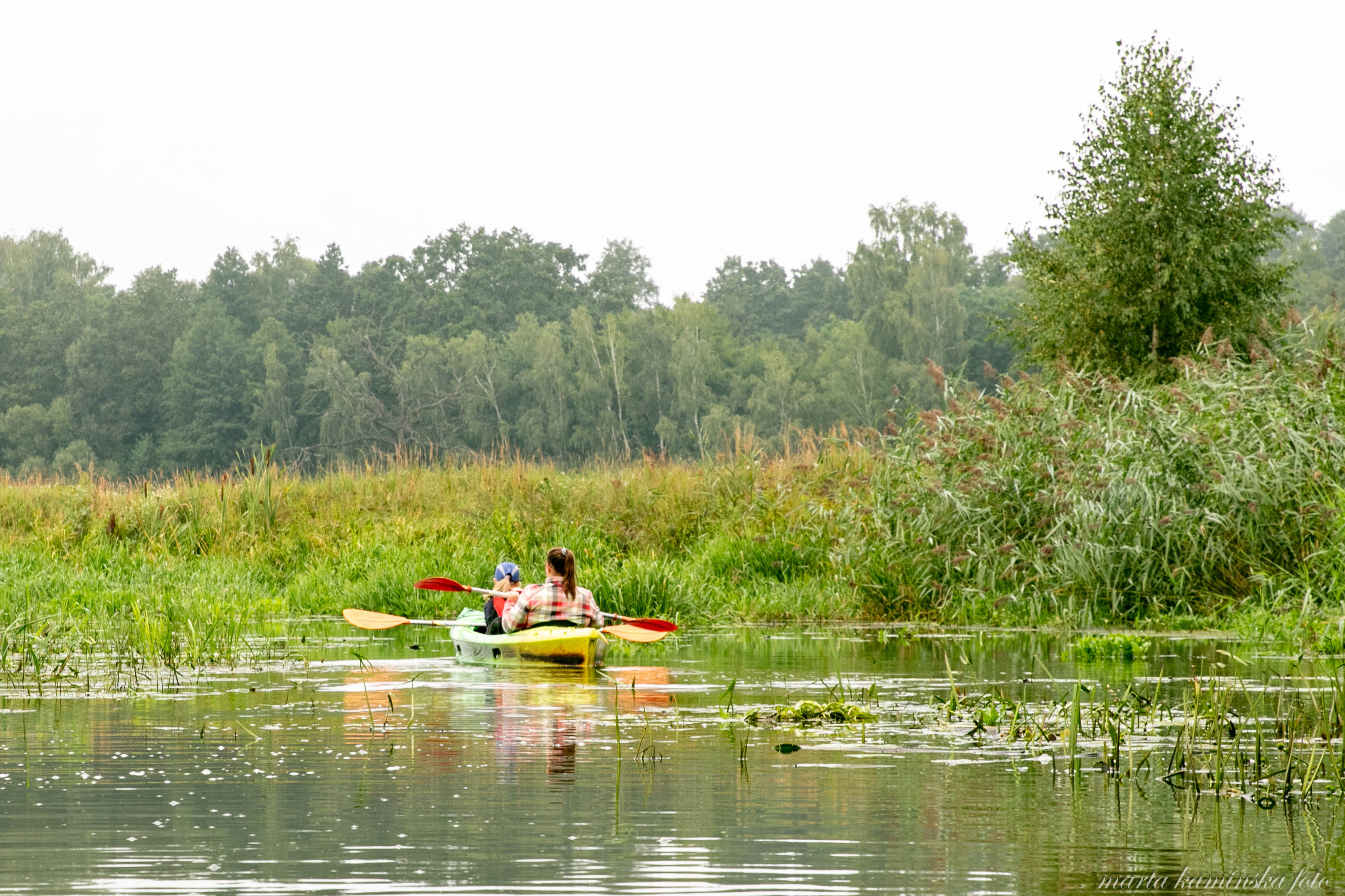
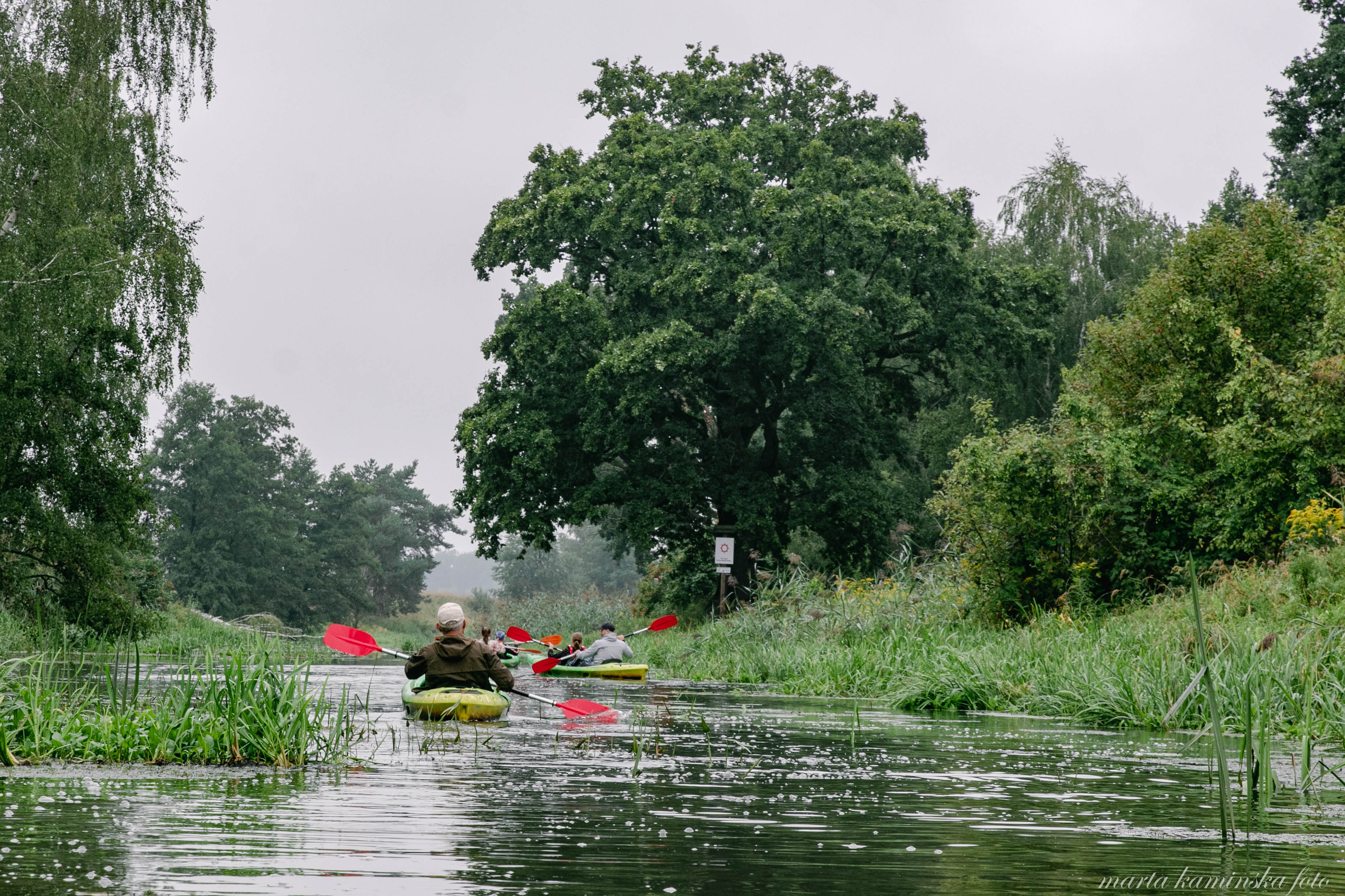
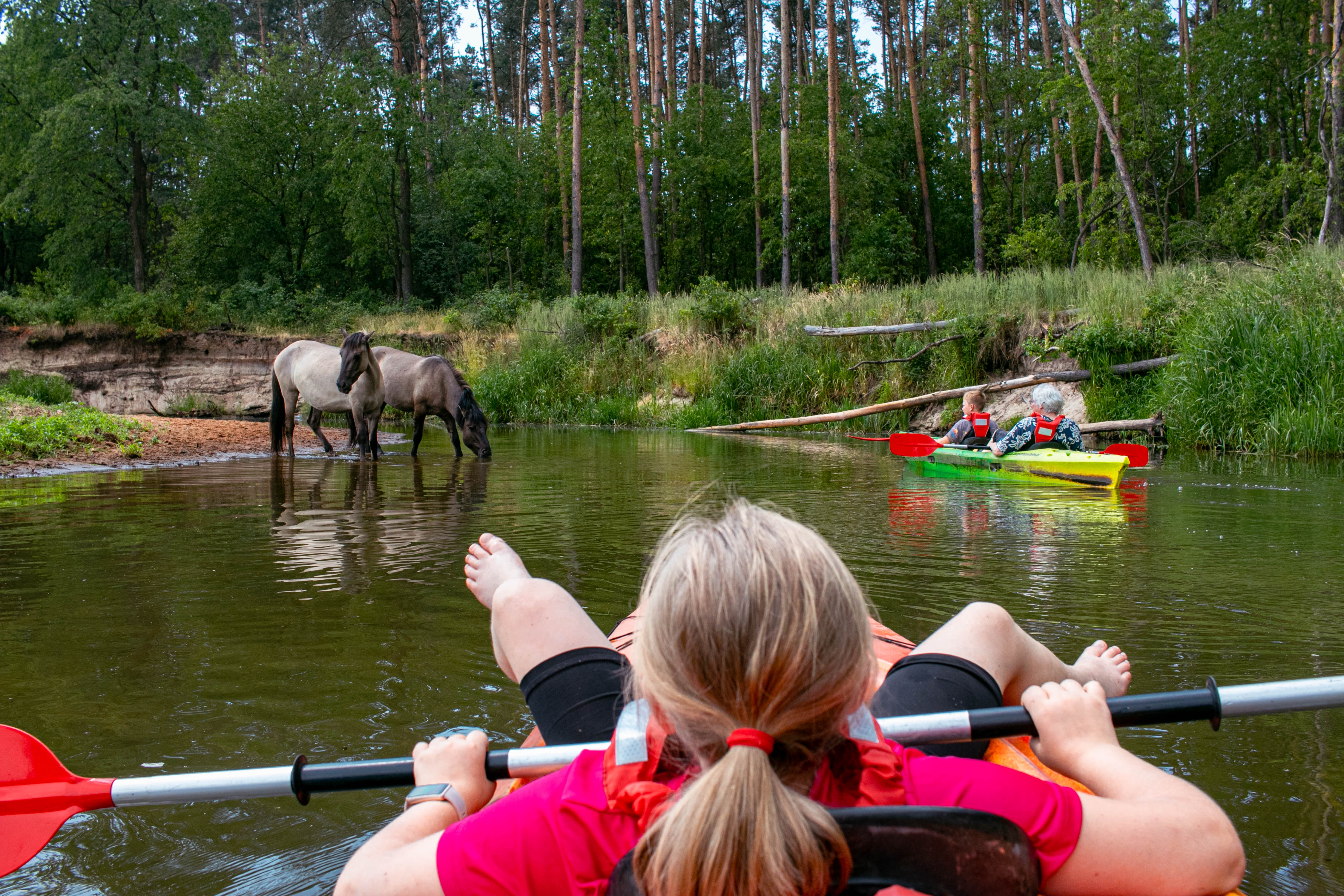
canoeing on the Barycz River, fot. Łukasz Gościniak
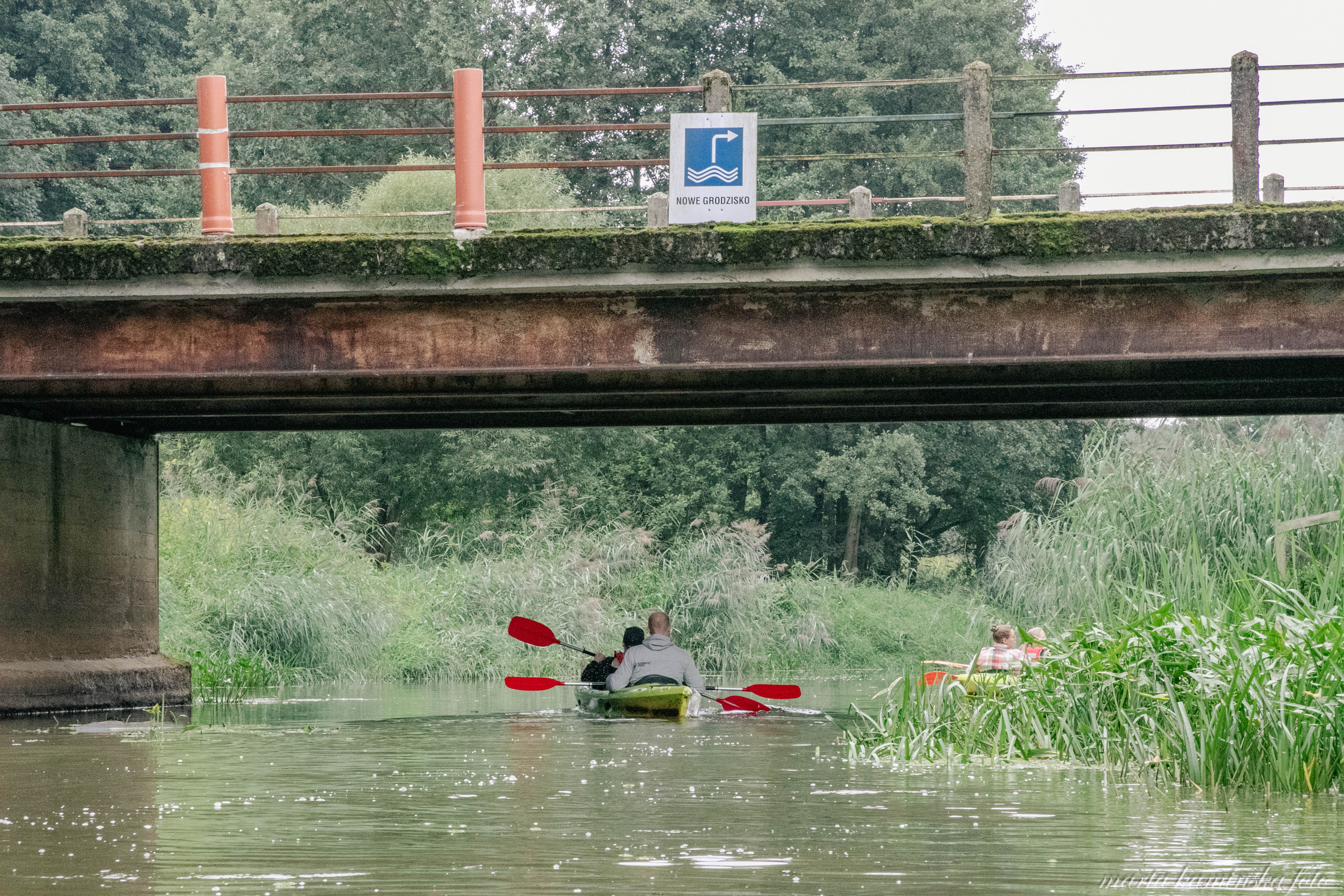
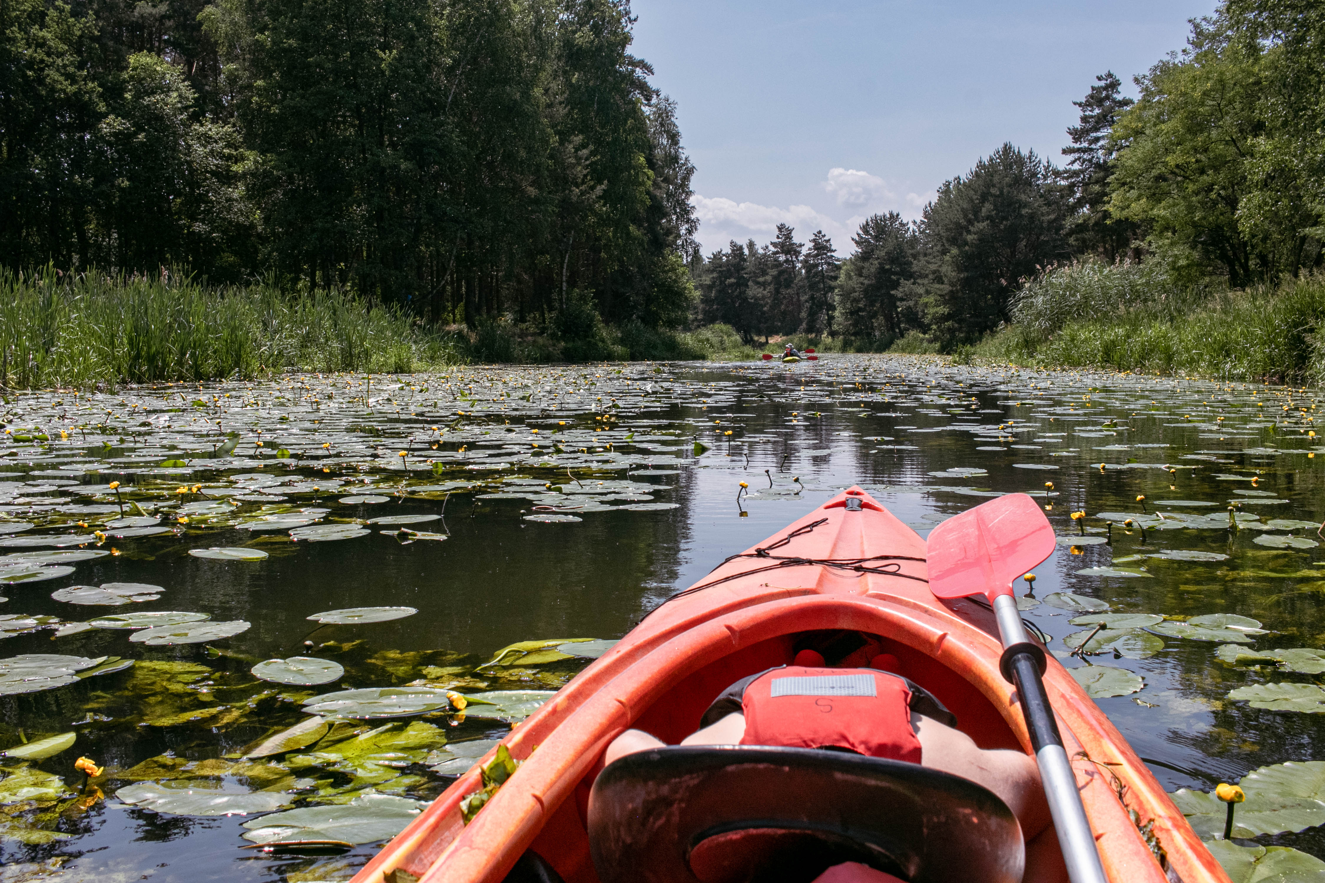
CANOEING ROUTE OF THE BARYCZ VALLEY
Route:
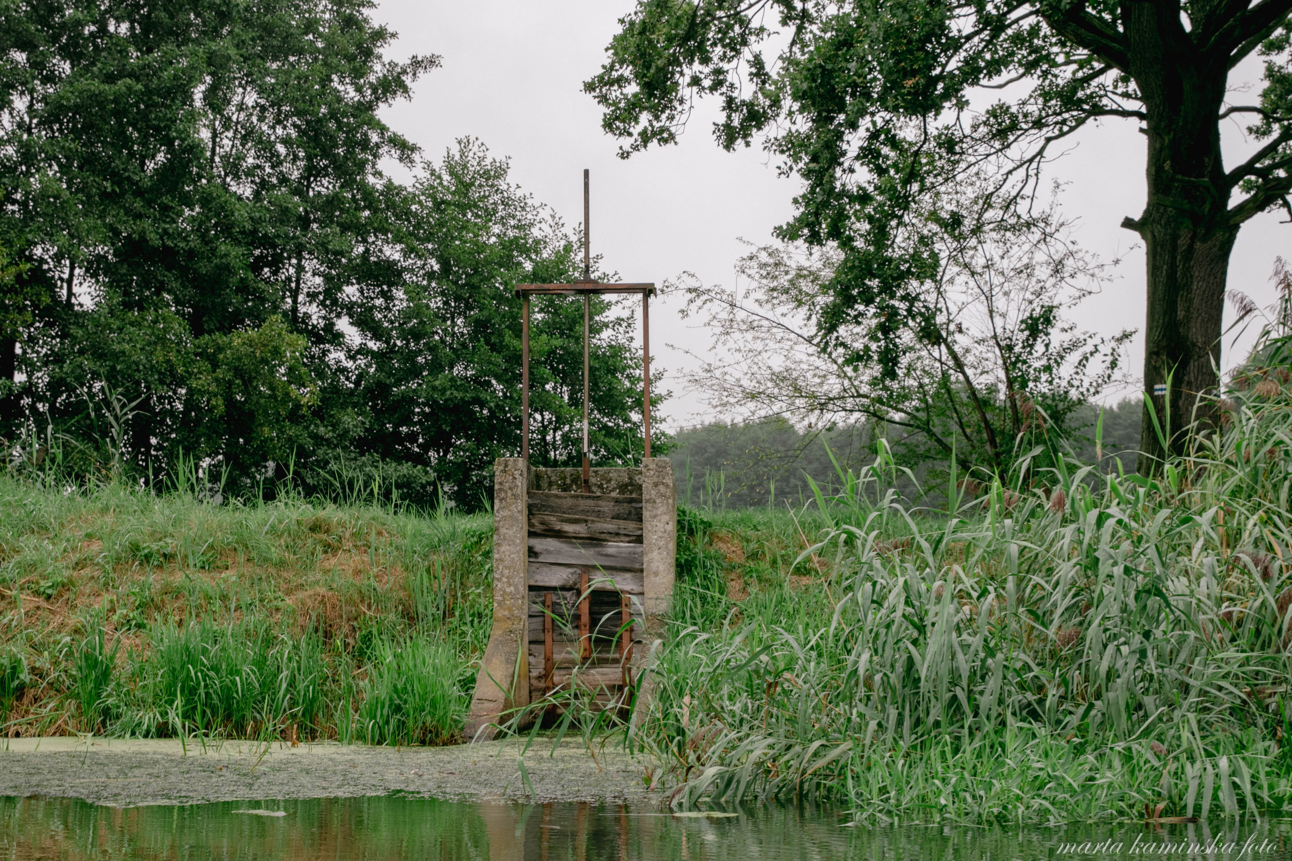
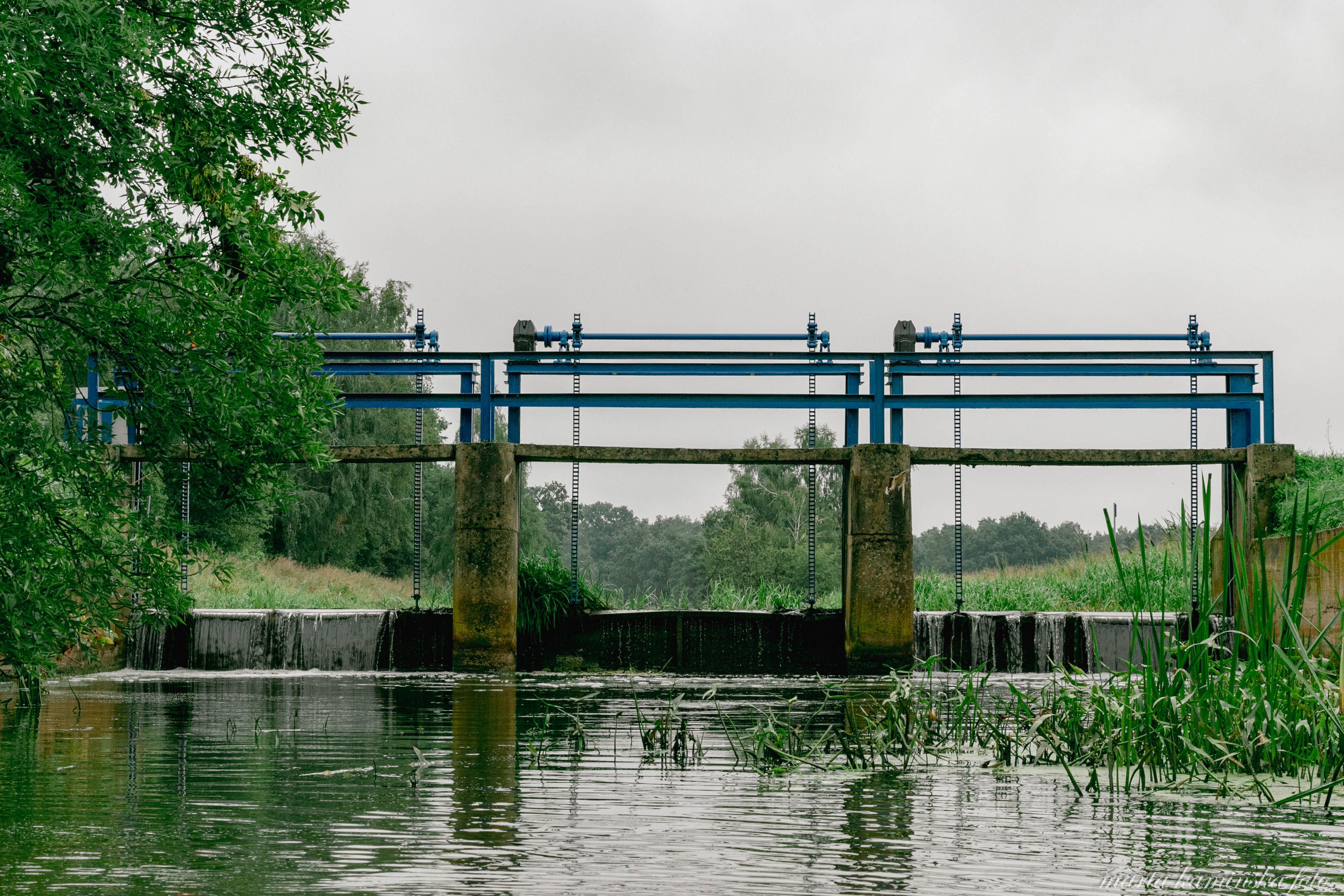
(signposted) Odolanów - stop at the railway station - Łąki Odolanowskie - Jaz Uciechów - Wróbliniec - Jaz Wróbliniec - Jaz Potasznia - Jaz Gądkowice - Lelików - Jaz Bolko - Nowe Grodzisko - Jaz Sławoszowice - Milicz - Jaz Sułów - Ośrodek Wypoczynkowy Sułów - Łąki - Jaz Niezgoda - Ruda Żmigrodzka - Jaz Osiek (Biedaczka) - Żmigród.
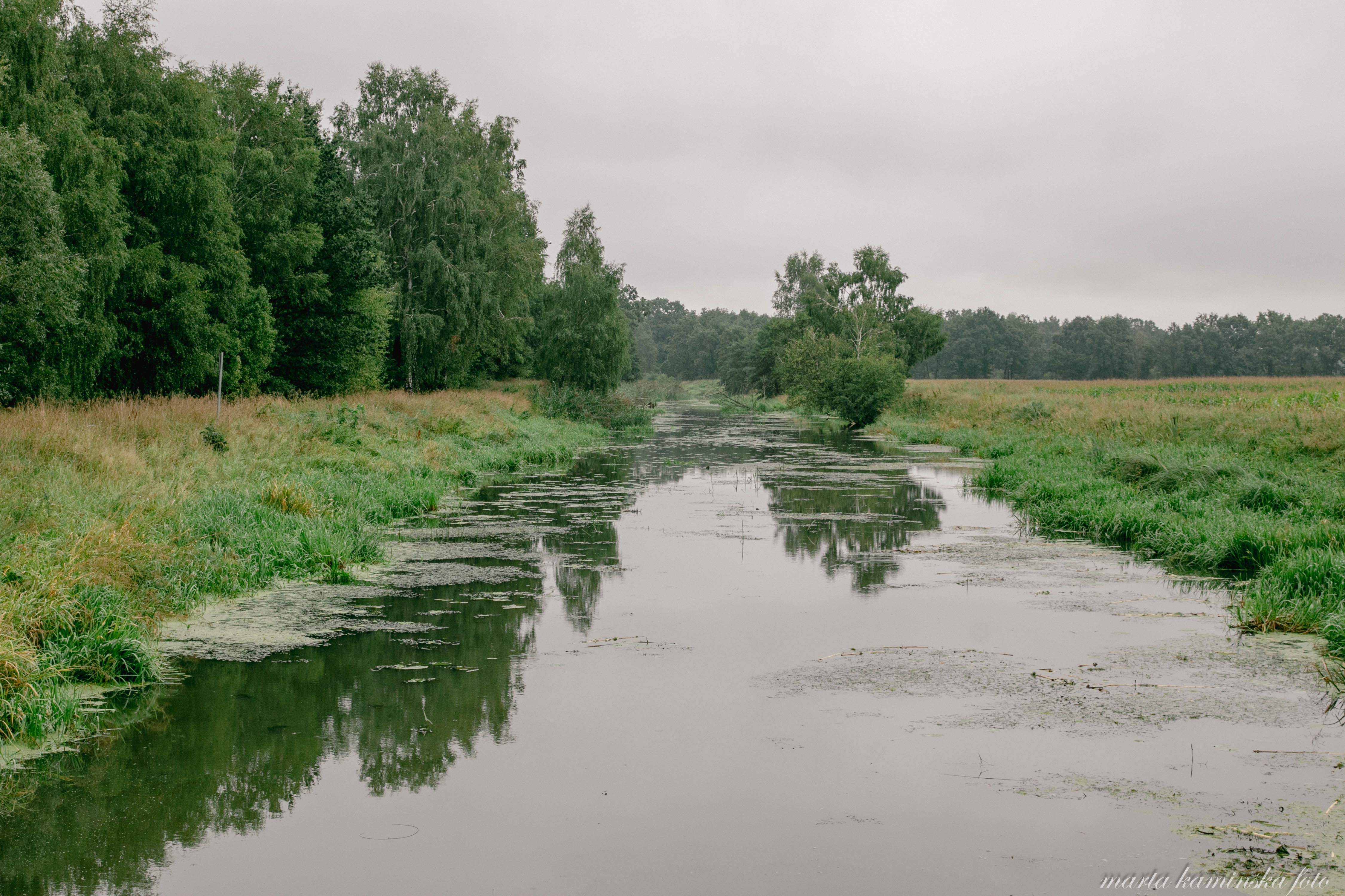
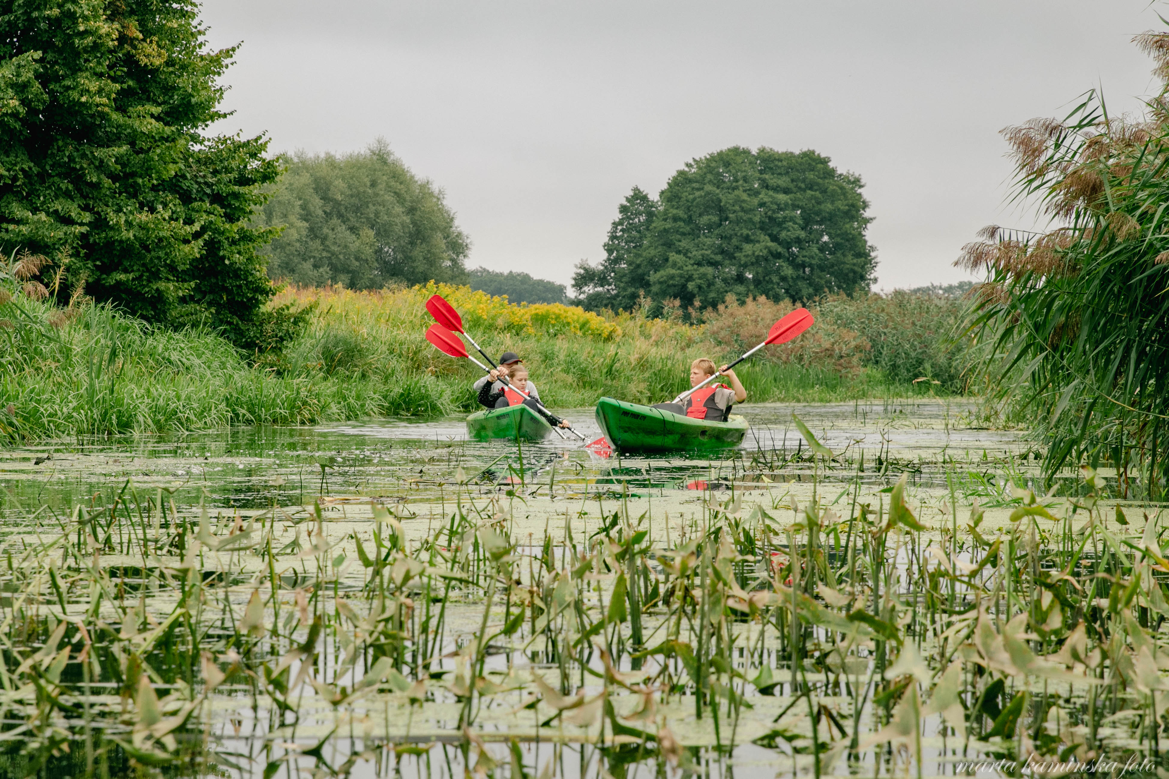
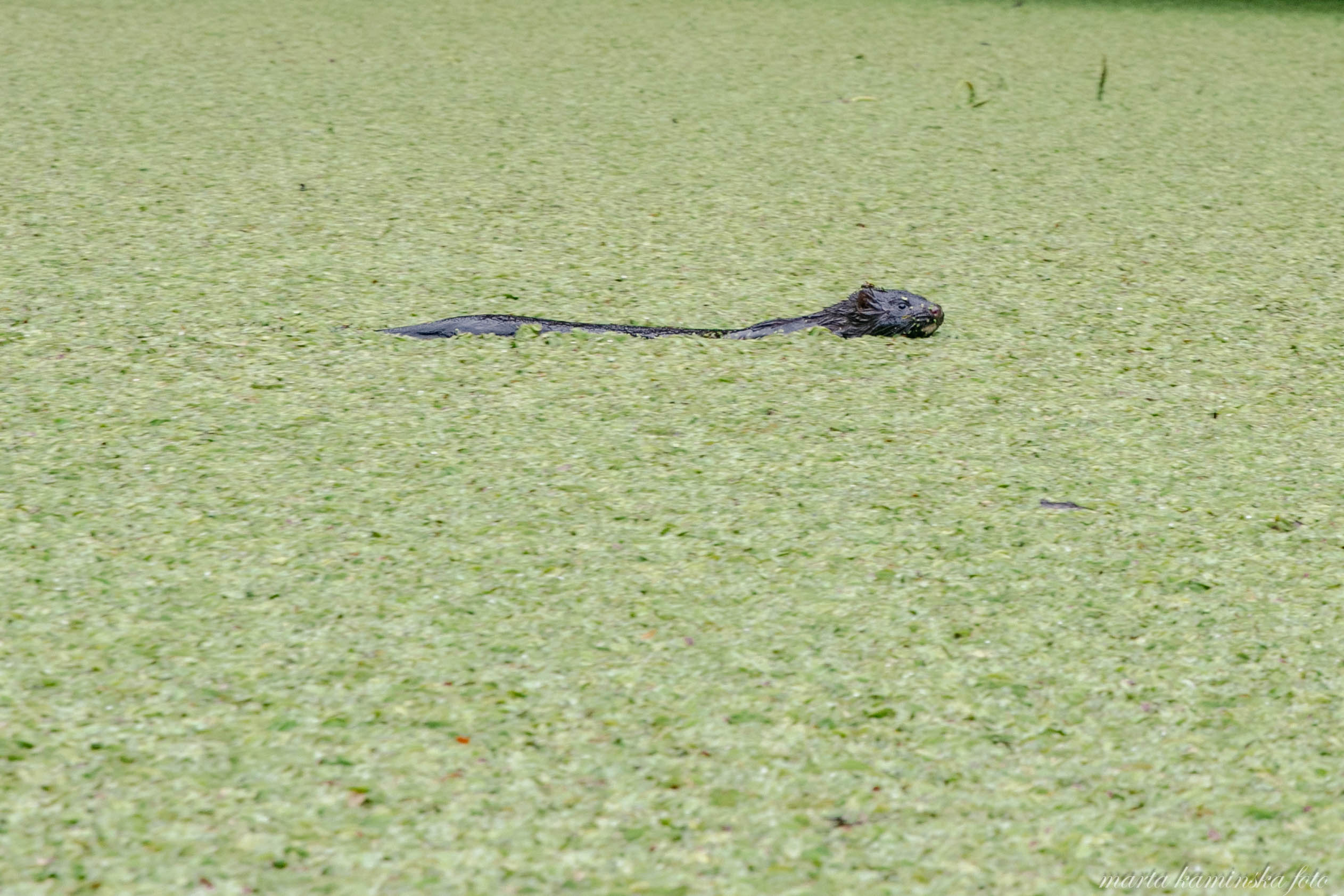
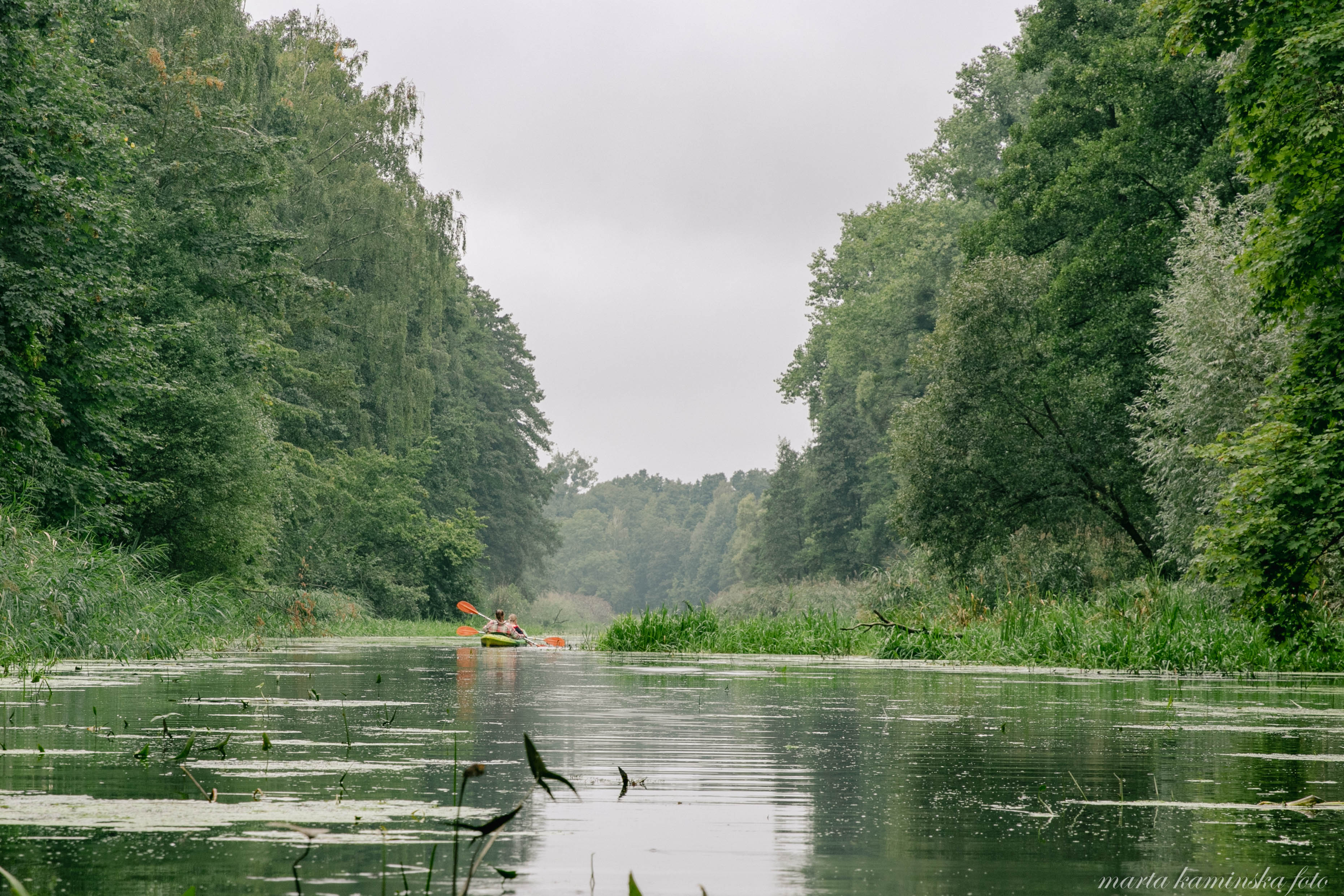
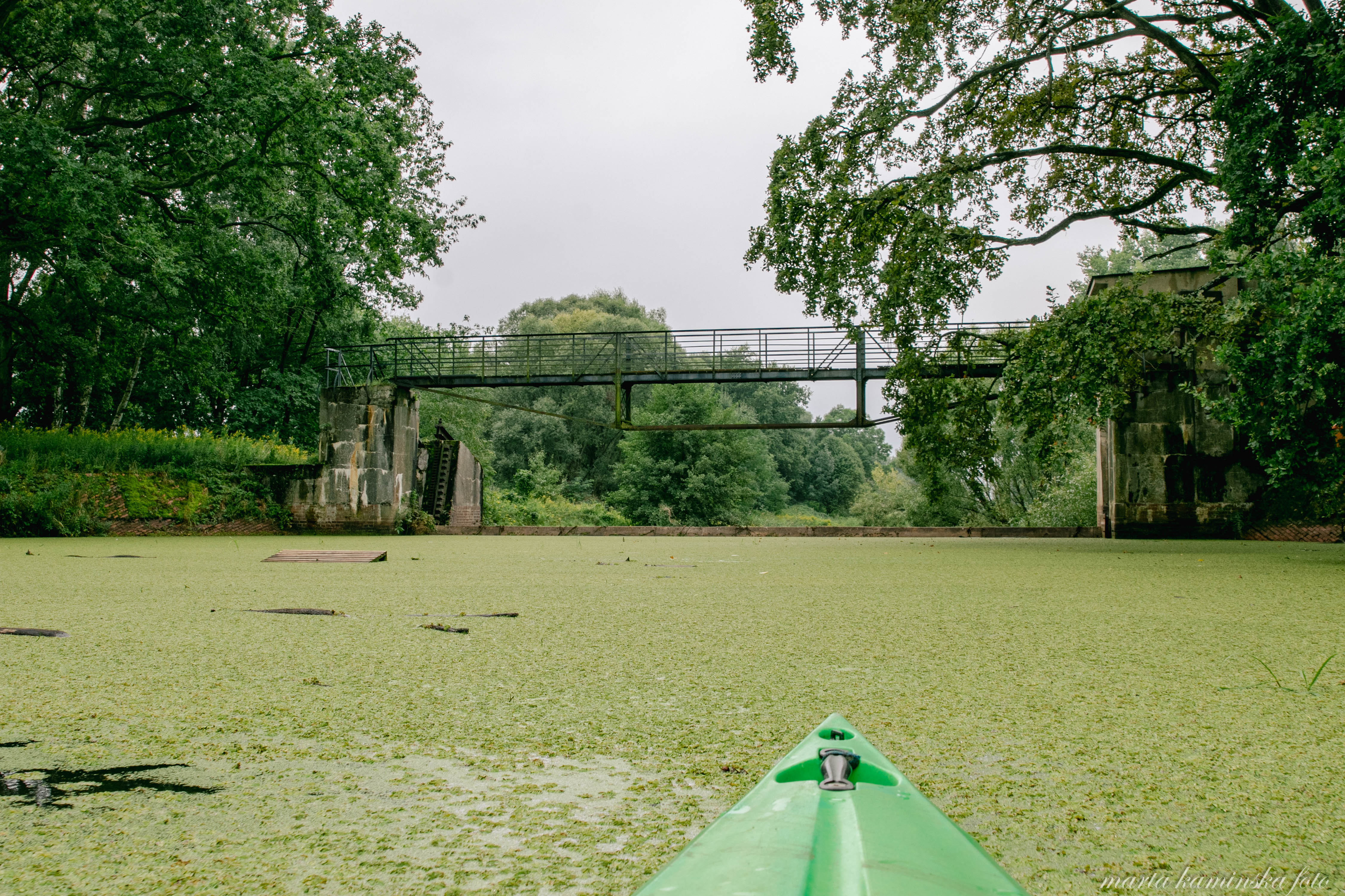
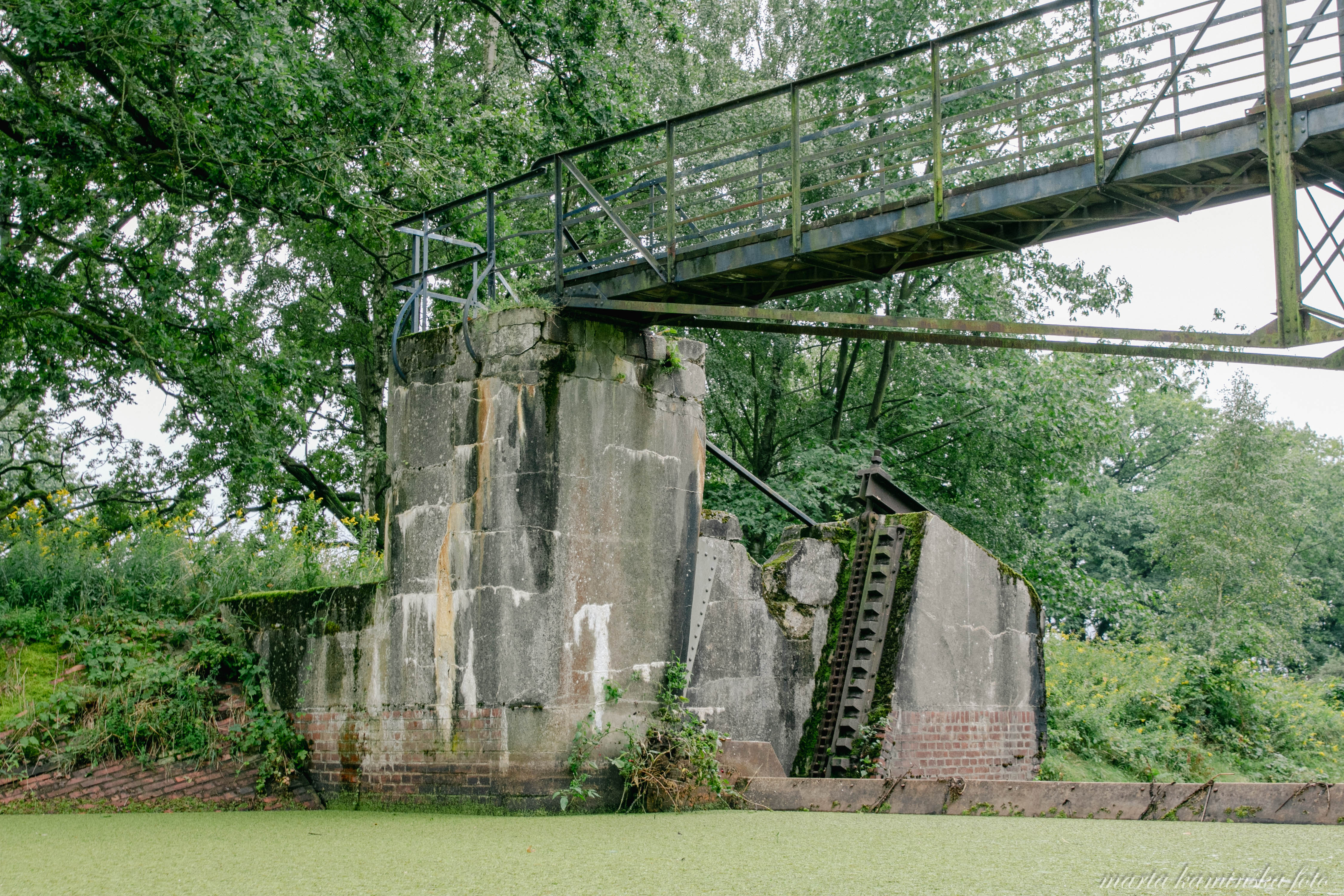
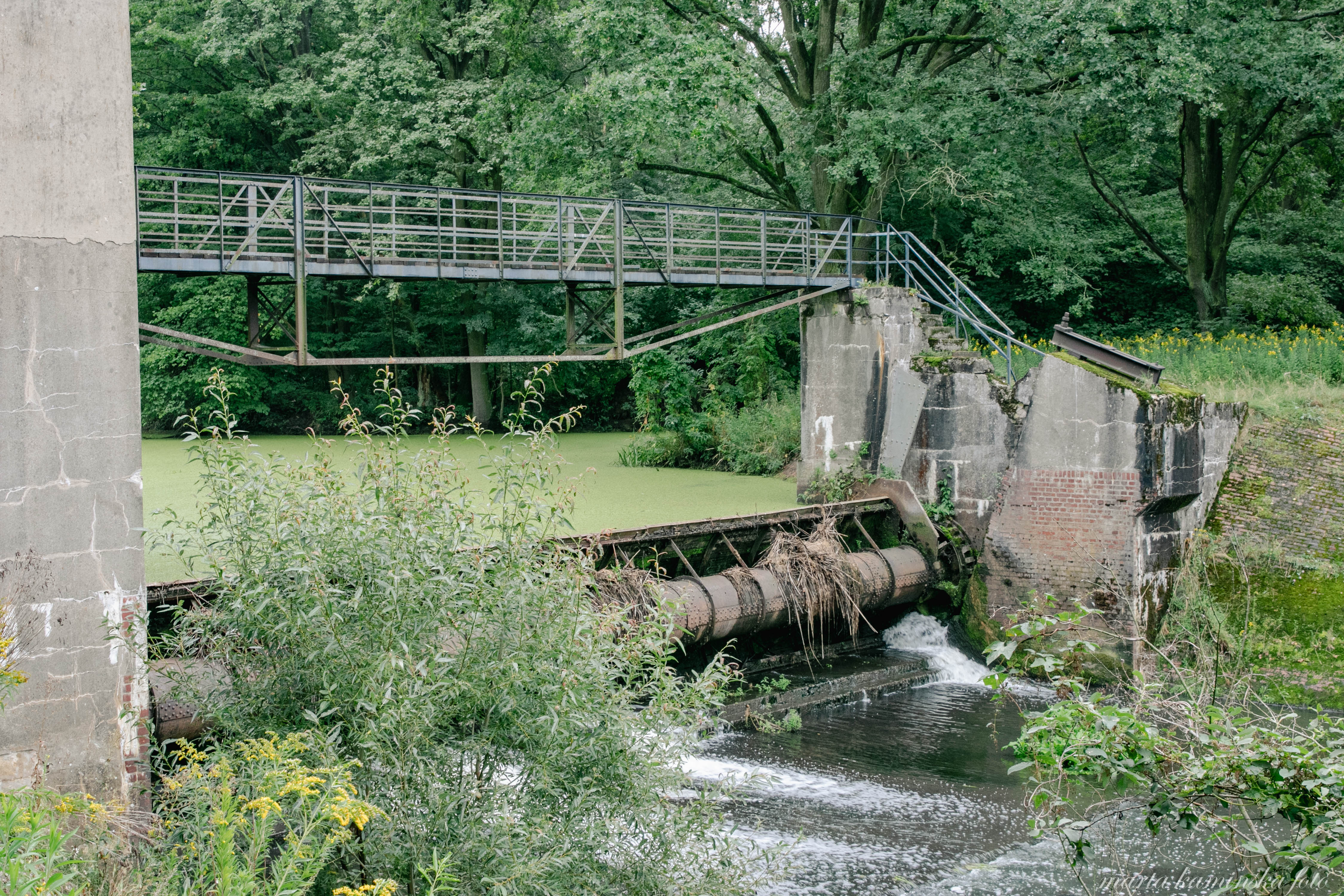
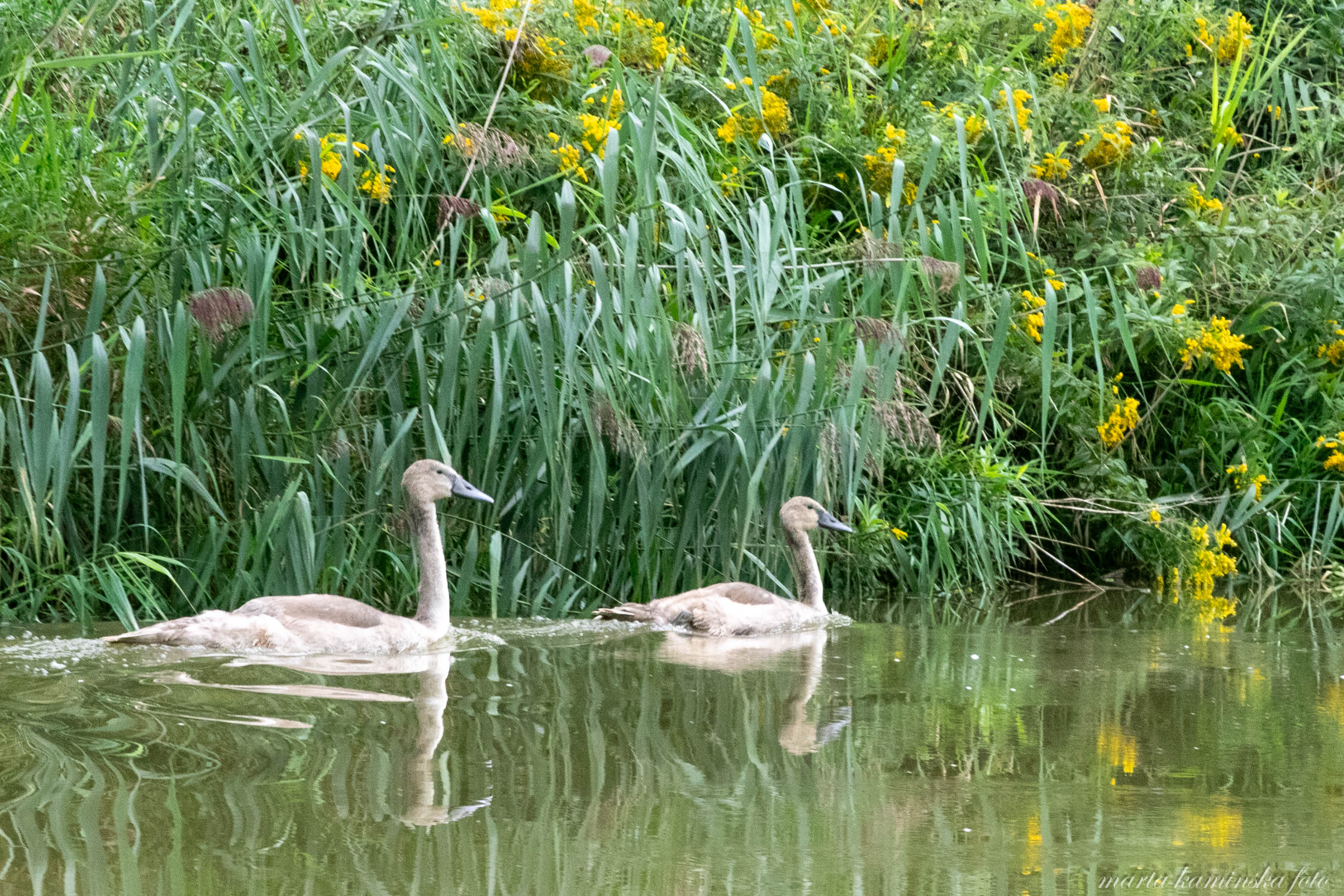
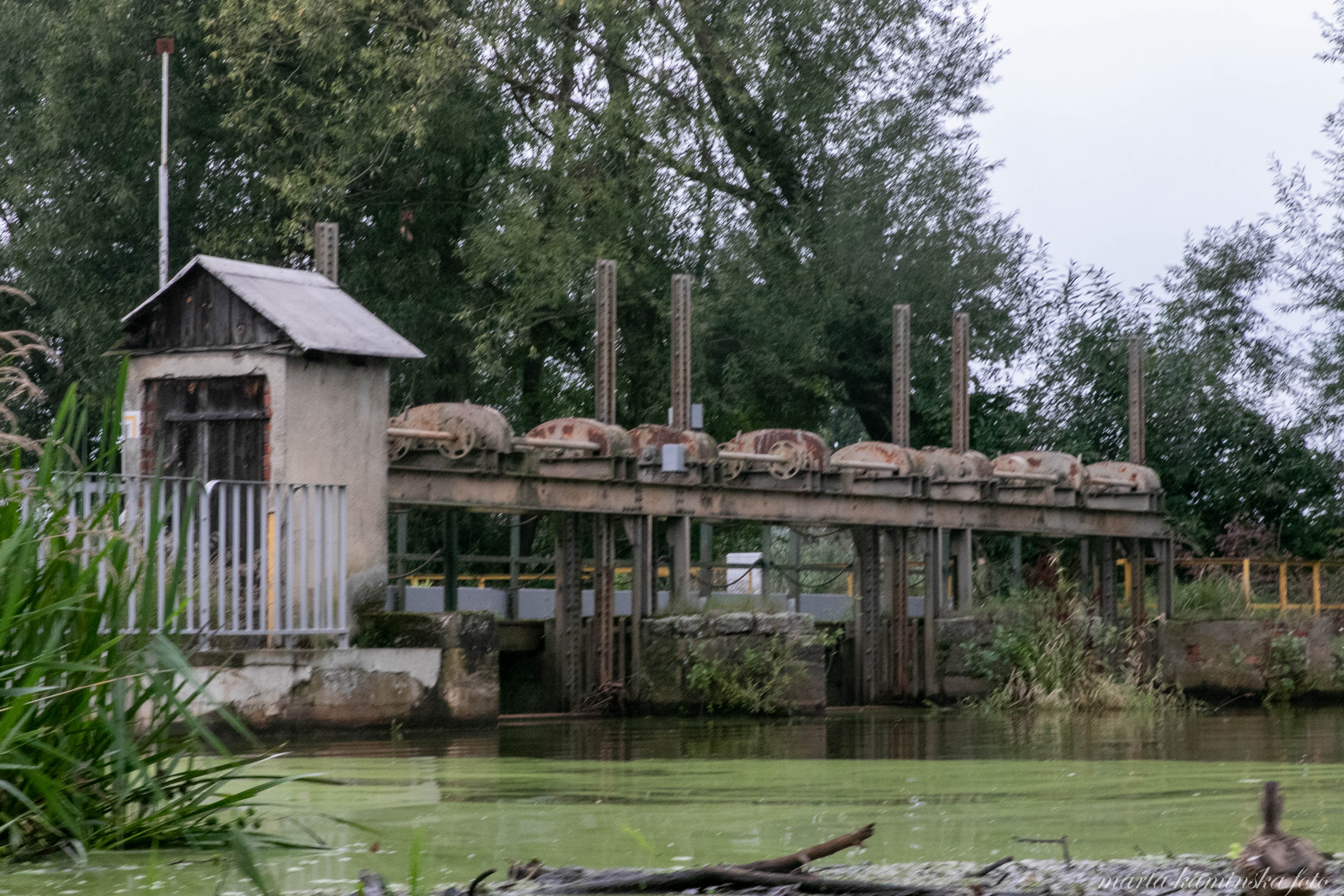
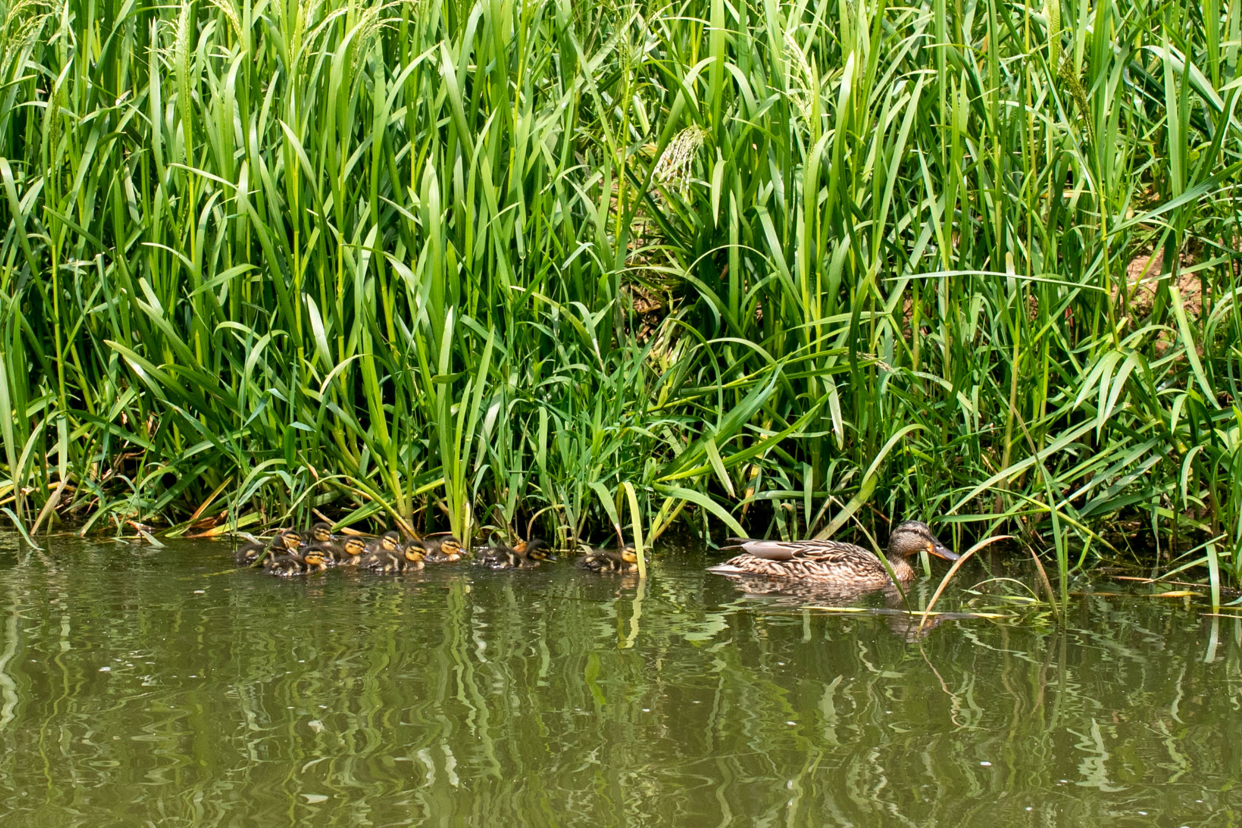
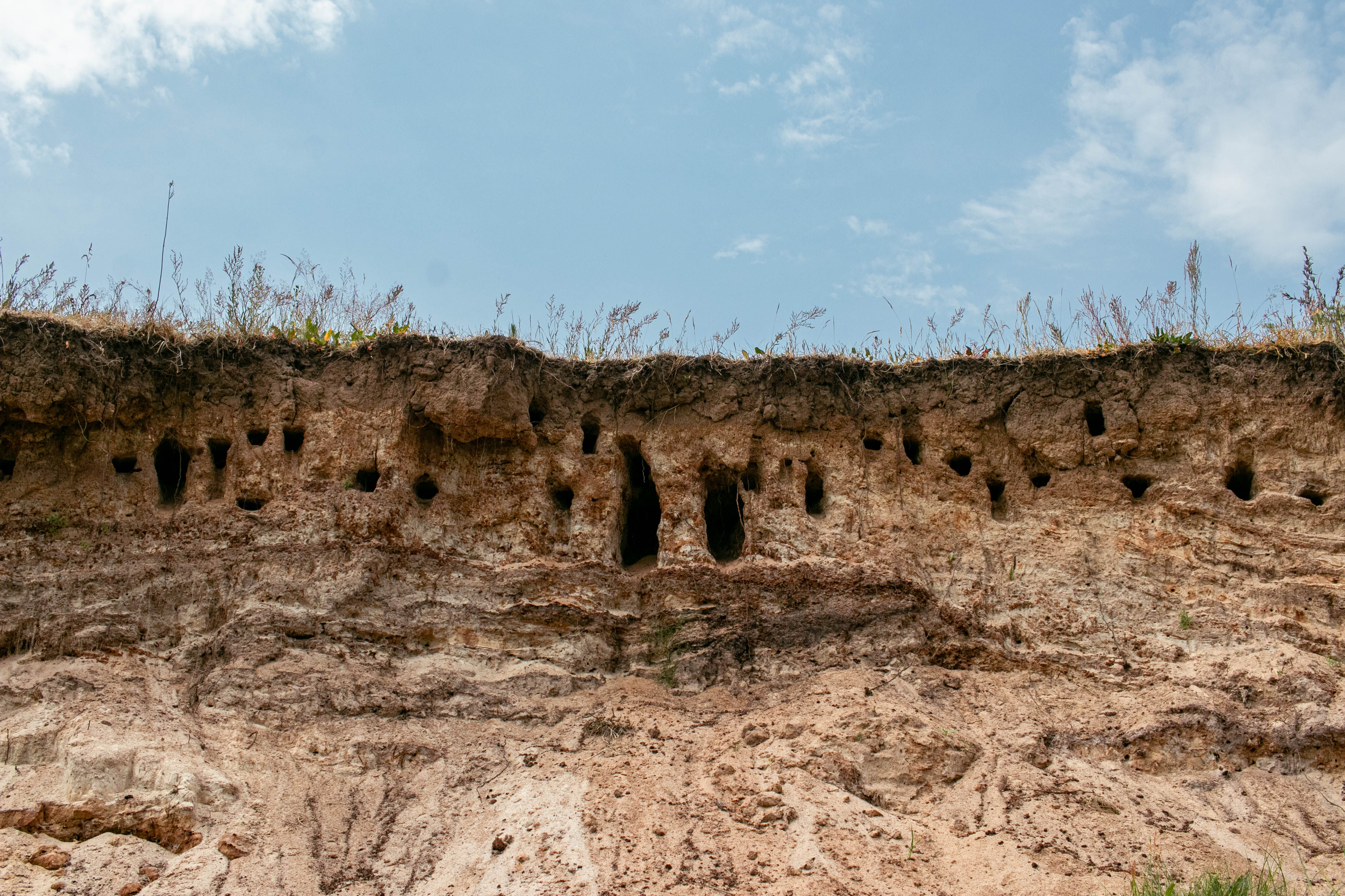
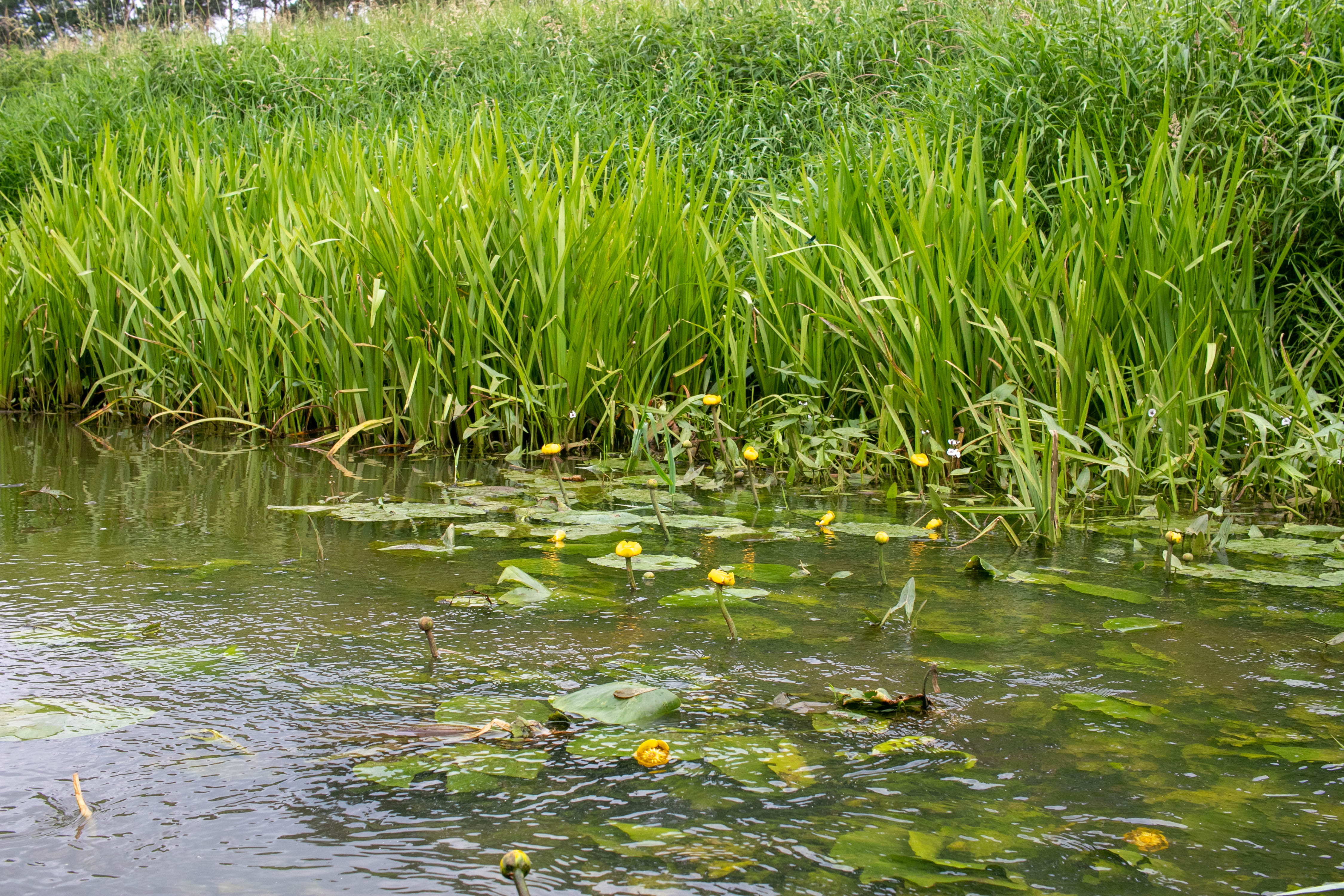
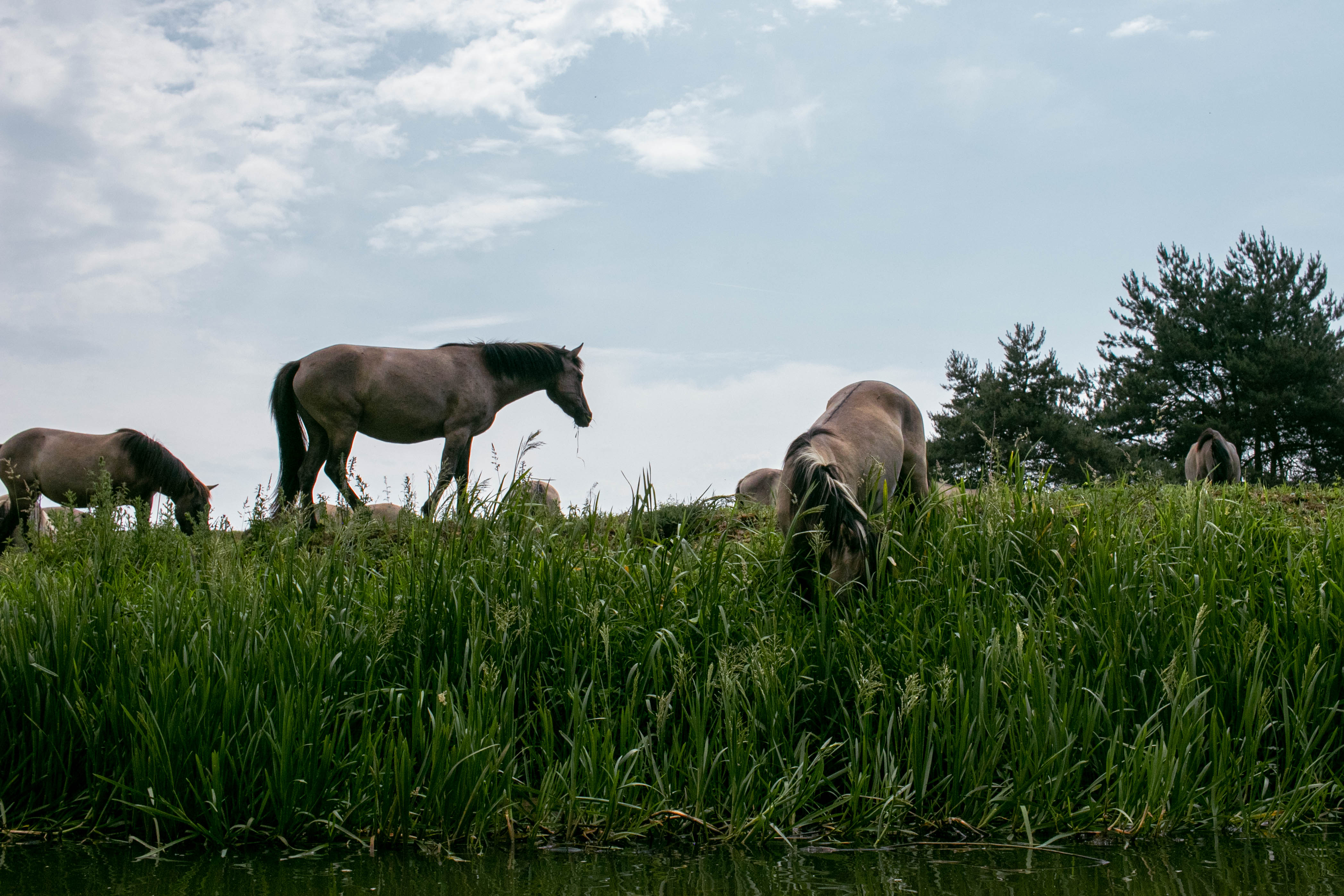
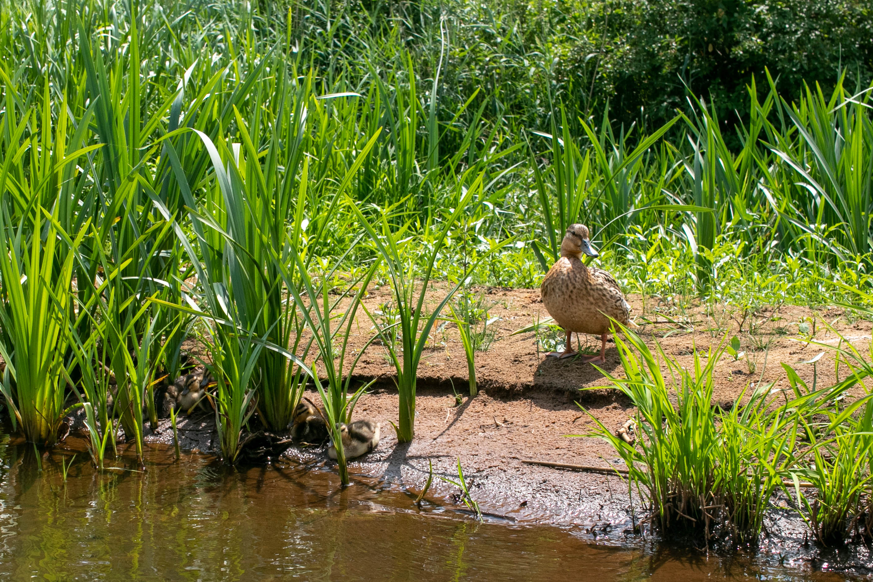
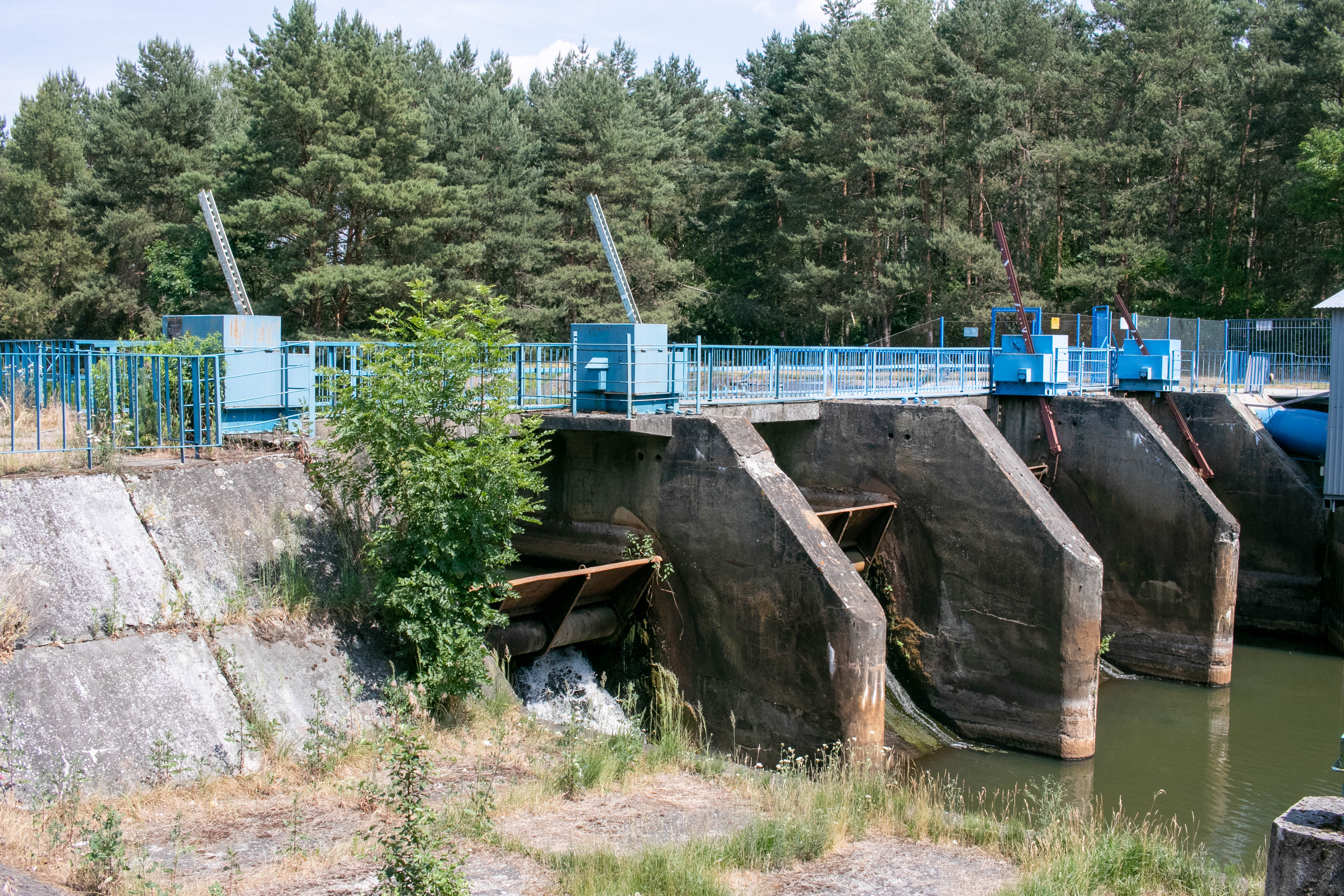
The Barycz is an extremely beautiful river. Its valley is one of the most valuable ecosystems not only in Poland, but also in Europe and in the world. It is worth getting to know the Barycz Valley from the perspective of a canoe, it will provide you with amazing experiences and close contact with nature. The Barycz is not a very demanding river, so it is also perfect for beginner canoeists. One of the smallest average falls in Poland (0.035%), numerous weirs damming up water, make the river flow very lazily. The biggest problems we may encounter while paddling are fallen trees, blockages and low water levels - especially in summer. While in most sections you can cope with the shallows, in summer it is often impossible to kayak below the weir in Sułów. The average water flow in the Barycz River is 27.5 m3/sec. and has a high variability of 2.9 - 295 m3/sec. The highest water level is in spring and in autumn when fishermen drain the ponds (September-October). The canoe trail was marked out by the Barycz Valley Foundation in 2007 and is 60 km long. It starts in Odolanów and ends in Żmigród. Planned
CANOEING ROUTE OF THE ODER RIVER
The Canoeing Route of the Oder River in the Oder Riverbank Land is a 131 km section of the Oder River divided into canoeing routes between stops on the Oder Route from Wrocław to Głogów of tourist importance for the region.
The trail starts at 262 km in Wrocław at Ślęzoujście and ends at 393 km in Głogów, and along the canoeing route the mileage of the river is marked out by signposts which we pass as we paddle downstream.
The Oder route is a paradise for people who like space, comfort and relaxation, because on the canoeing route we do not encounter practically any obstacles such as riffles, sloughs, shoals and there is also the Odra current with a free flow of 3-5 km/h. Problems that may surprise us are strong headwinds on the Odra's section from Wrocław to the Malczyce damming up of the river. Further down the Oder, there are no more water rapids, all the way to Szczecin.
The proposed canoeing routes are those that lead between places with access to the river and are usually former ferries, harbours and city marinas. In between, the Oder is inaccessible and it is difficult to reach by car with a trailer to pick up the canoes, so these include the sections:
- Wrocław, Ślęzoujście (262 km) - Prężyce with a stop in Uraz 14 km (time 3-4 h)
- Wrocław - Brzeg Dolny with a stop in Uraz and sluicing in Wały 23 km (time 6 h)
- Brzeg Dolny - Malczyce with a sluice in Rzeczyca 20 km (time 5-6 h)
- Malczyce - Ścinawa with a stop to visit the monastery in Lubiąż 27km (time 6 h)
- Lubiąż - Ścinawa 21 km (time 4h)
- Scinawa - Chobienia peaceful for families with children 18 km (time 3 h)
- Chobienia - Leszkowice or Kotowice good for survival (time 3-4 h)
- Leszkowice or Kotowice - Głogów (393km) with a bivouac in the Barycz estuary 25 km (time 5 h)
Source and more information: THE ODER ROUTE (SZLAK ODRY)